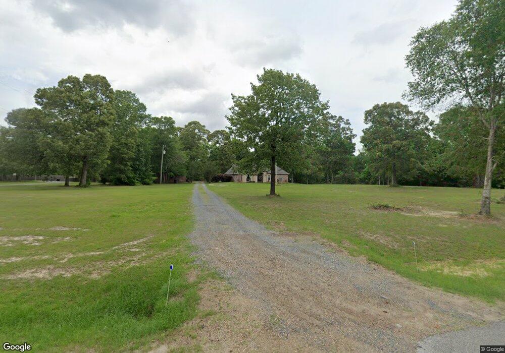
19736 Highway 8 Leesville, LA 71446
Estimated Value: $300,955 - $419,000
4
Beds
3
Baths
3,251
Sq Ft
$110/Sq Ft
Est. Value
About This Home
This home is located at 19736 Highway 8, Leesville, LA 71446 and is currently estimated at $357,489, approximately $109 per square foot. 19736 Highway 8 is a home located in Vernon Parish.
Ownership History
Date
Name
Owned For
Owner Type
Purchase Details
Closed on
Feb 23, 2015
Sold by
Laffitte Bradley S
Bought by
Smith Cody F and Smith Natasha M
Current Estimated Value
Home Financials for this Owner
Home Financials are based on the most recent Mortgage that was taken out on this home.
Original Mortgage
$280,000
Interest Rate
3.7%
Mortgage Type
Purchase Money Mortgage
Purchase Details
Closed on
Jul 25, 2008
Sold by
Welch William Charles and Welch Glenda H
Bought by
Landis Mark Aaron and Landis Sandra Lea
Home Financials for this Owner
Home Financials are based on the most recent Mortgage that was taken out on this home.
Original Mortgage
$125,000
Interest Rate
6.4%
Mortgage Type
Stand Alone First
Purchase Details
Closed on
Jul 16, 2008
Sold by
Welch Jon Waylon and Welch Miranda Michelle
Bought by
Landis Mark Aaron and Landis Sandra Lea
Home Financials for this Owner
Home Financials are based on the most recent Mortgage that was taken out on this home.
Original Mortgage
$125,000
Interest Rate
6.4%
Mortgage Type
Stand Alone First
Create a Home Valuation Report for This Property
The Home Valuation Report is an in-depth analysis detailing your home's value as well as a comparison with similar homes in the area
Purchase History
| Date | Buyer | Sale Price | Title Company |
|---|---|---|---|
| Smith Cody F | $280,000 | None Available | |
| Landis Mark Aaron | $20,827 | -- | |
| Landis Mark Aaron | $225,000 | -- |
Source: Public Records
Mortgage History
| Date | Status | Borrower | Loan Amount |
|---|---|---|---|
| Previous Owner | Smith Cody F | $280,000 | |
| Previous Owner | Landis Mark Aaron | $125,000 |
Source: Public Records
Tax History
| Year | Tax Paid | Tax Assessment Tax Assessment Total Assessment is a certain percentage of the fair market value that is determined by local assessors to be the total taxable value of land and additions on the property. | Land | Improvement |
|---|---|---|---|---|
| 2025 | $896 | $28,630 | $2,470 | $26,160 |
| 2024 | $905 | $28,630 | $2,470 | $26,160 |
| 2023 | $928 | $28,630 | $2,470 | $26,160 |
| 2022 | $3,268 | $29,720 | $2,470 | $27,250 |
| 2021 | $3,780 | $27,240 | $2,470 | $24,770 |
| 2020 | $4,176 | $27,240 | $2,470 | $24,770 |
| 2019 | $3,259 | $24,120 | $2,470 | $21,650 |
| 2018 | $3,489 | $24,120 | $2,470 | $21,650 |
| 2017 | $3,207 | $24,120 | $2,470 | $21,650 |
| 2015 | $3,338 | $24,120 | $2,470 | $21,650 |
| 2014 | $2,809 | $21,830 | $3,700 | $18,130 |
| 2013 | $3,283 | $21,830 | $3,700 | $18,130 |
Source: Public Records
Map
Nearby Homes
- 0 Hwy 8 & 464 Hwy Unit SWL22004749
- 0 Archie Wilbert Rd
- 0 Tbd Hwy 8 & 464 Unit 29-1650
- 0 Lot 7 Woodland Park Phase III Unit 29-1652
- 281 Methodist Landing Rd
- 149 Methodist Landing Rd
- 4450 Camp Baker Rd
- 0 Empire Point Rd
- 588 Hickory Ridge Rd
- 0 Woods Rd Unit RD
- 579 Lake Vernon Rd
- TBD Driftwood Dr
- 0 Nichols Rd
- 0 Tbd Driftwood Dr
- 115 Deerhunter Ln
- 1976 Savage Forks Rd
- 708 Woodland Dr
- 707 W Hawthorne Rd
- 617 W Hawthorne Rd
- 148 Brentwood Dr
- 19774 Highway 8
- 19739 Highway 8
- 19787 Highway 8
- 19651 Highway 8
- 19572 Archie Wilbert Rd
- 154 H Roberts Rd
- 19572 Highway 8
- 208 Archie Wilbert Rd
- 0 Tbd Archie Wilbert Rd
- 282 Archie Wilbert Rd
- 19516 Highway 8
- 127 Highway 464
- 327 Lincoln Dr
- 0 Hwy 8 & 464 Hwy Unit 191440
- TBD Hwy 8 & 464 Hwy
- TBD 8 & 464 Hwy
- 0 Louisiana 464
- 0 Tbd Hwy 8 & 464 Unit 29-1269
- 341 Lincoln Dr
- 398 Lincoln Dr
Your Personal Tour Guide
Ask me questions while you tour the home.