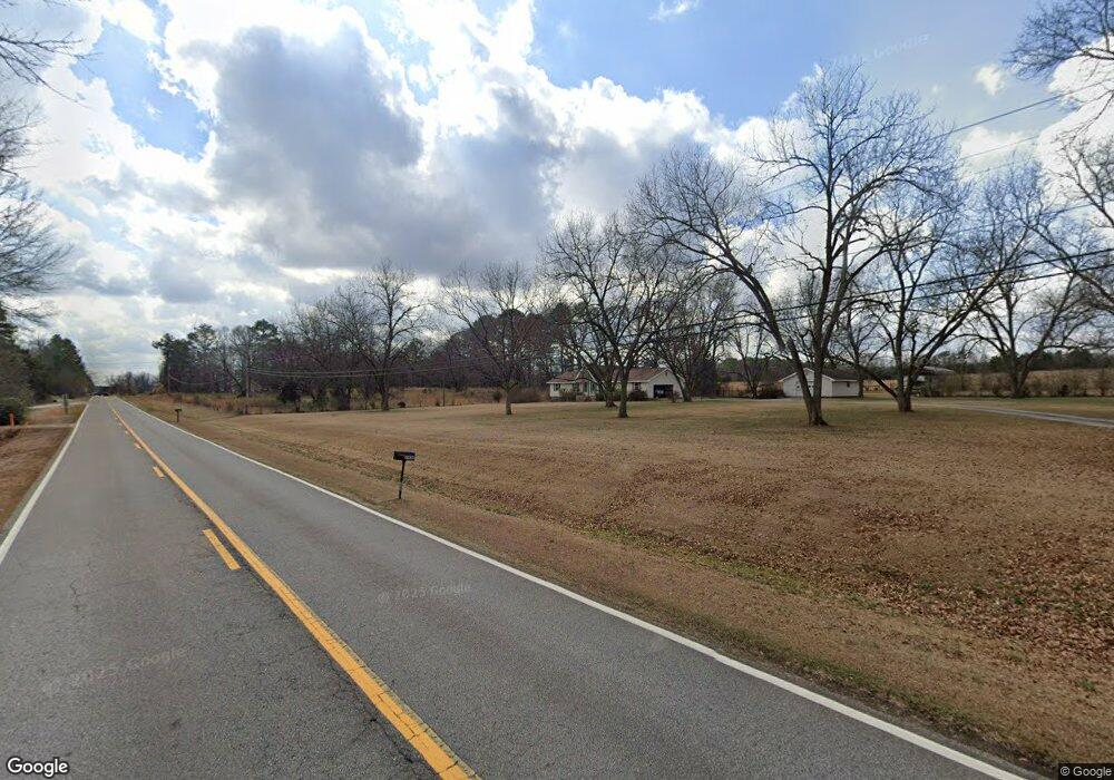
1974 Barnesville Rd Griffin, GA 30224
Spalding County NeighborhoodEstimated Value: $271,000 - $400,562
3
Beds
2
Baths
1,649
Sq Ft
$191/Sq Ft
Est. Value
About This Home
This home is located at 1974 Barnesville Rd, Griffin, GA 30224 and is currently estimated at $314,141, approximately $190 per square foot. 1974 Barnesville Rd is a home located in Spalding County with nearby schools including Futral Road Elementary School, Rehoboth Road Middle School, and Spalding High School.
Ownership History
Date
Name
Owned For
Owner Type
Purchase Details
Closed on
Nov 19, 2013
Sold by
Harrington Chester Floyd J
Bought by
Harrington Carolyn Gail
Current Estimated Value
Purchase Details
Closed on
Nov 4, 2003
Sold by
Harrington Chester F
Bought by
Murray G Niles
Purchase Details
Closed on
Sep 27, 1988
Sold by
Harrington James H and Harrington Chester F
Bought by
Harrington Chester F
Purchase Details
Closed on
Jul 7, 1980
Sold by
Crowley Barney D
Bought by
Harrington Chester F and Harrington Gail
Purchase Details
Closed on
Jan 29, 1971
Sold by
Akins Richard H
Bought by
Crowley Barney D
Create a Home Valuation Report for This Property
The Home Valuation Report is an in-depth analysis detailing your home's value as well as a comparison with similar homes in the area
Home Values in the Area
Average Home Value in this Area
Purchase History
| Date | Buyer | Sale Price | Title Company |
|---|---|---|---|
| Harrington Carolyn Gail | -- | -- | |
| Murray G Niles | $77,294 | -- | |
| Harrington Chester F | $5,000 | -- | |
| Harrington Chester F | $12,000 | -- | |
| Crowley Barney D | -- | -- |
Source: Public Records
Tax History Compared to Growth
Tax History
| Year | Tax Paid | Tax Assessment Tax Assessment Total Assessment is a certain percentage of the fair market value that is determined by local assessors to be the total taxable value of land and additions on the property. | Land | Improvement |
|---|---|---|---|---|
| 2024 | $2,119 | $108,200 | $58,223 | $49,977 |
| 2023 | $2,119 | $108,200 | $58,223 | $49,977 |
| 2022 | $2,071 | $91,037 | $46,578 | $44,459 |
| 2021 | $1,935 | $84,693 | $46,578 | $38,115 |
| 2020 | $2,029 | $84,693 | $46,578 | $38,115 |
| 2019 | $2,067 | $84,693 | $46,578 | $38,115 |
| 2018 | $2,118 | $81,687 | $46,578 | $35,109 |
| 2017 | $2,258 | $81,687 | $46,578 | $35,109 |
| 2016 | $2,297 | $81,687 | $46,578 | $35,109 |
| 2015 | $2,371 | $81,687 | $46,578 | $35,109 |
| 2014 | $3,247 | $81,687 | $46,578 | $35,109 |
Source: Public Records
Map
Nearby Homes
- 2495 Barnesville Rd
- 245 Kennelsman Dr
- 87 Hounds Way
- 270 Kennelsman Dr
- Flora Plan at Fox Crossing
- Cali Plan at Fox Crossing
- Galen Plan at Fox Crossing
- Aisle Plan at Fox Crossing
- Aria Plan at Fox Crossing
- 145 Hounds Way Unit LOT 94
- 250 Kennelsman Dr
- 258 Kennelsman Dr
- 264 Kennelsman Dr
- 171 Kennelsman Dr
- 269 Kennelsman Dr
- 261 Kennelsman Dr
- 271 Kennelsman Dr
- 111 Hatmaker Ct
- 113 Hatmaker Ct
- 112 Hatmaker Ct
- 1932 Barnesville Rd
- 0 Cain St Unit 6 B
- 0 Cain St Unit 6A 3133324
- 0 Cain St Unit 6A
- 1739 Barnesville Rd
- 1924 Barnesville Rd
- 1935 Barnesville Rd
- 1923 Barnesville Rd
- 2052 Barnesville Rd
- 1916 Barnesville Rd
- 1911 Barnesville Rd
- 1901 Barnesville Rd
- 1910 Barnesville Rd
- 2518 Barnesville Rd
- 1889 Barnesville Rd
- 2521 Barnesville Rd
- 2080 Swint Rd
- 2092 Swint Rd
- 2076 Swint Rd
- 2514 Barnesville Rd