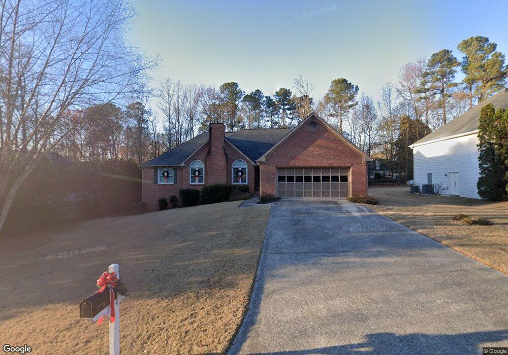
1974 Firelight Ln Unit 4 Buford, GA 30519
Estimated Value: $373,000 - $441,000
3
Beds
2
Baths
1,987
Sq Ft
$202/Sq Ft
Est. Value
About This Home
This home is located at 1974 Firelight Ln Unit 4, Buford, GA 30519 and is currently estimated at $401,704, approximately $202 per square foot. 1974 Firelight Ln Unit 4 is a home located in Gwinnett County with nearby schools including Freeman's Mill Elementary School, Twin Rivers Middle School, and Mountain View High School.
Ownership History
Date
Name
Owned For
Owner Type
Purchase Details
Closed on
Apr 27, 2016
Sold by
Ball Dempsey W
Bought by
Ball Dempsey W and Ball Renee R
Current Estimated Value
Purchase Details
Closed on
Aug 30, 1996
Sold by
Ratajski Frank L Katie A
Bought by
Ball Dempsey W Renee R
Purchase Details
Closed on
Mar 29, 1996
Sold by
Gatewood Communities Inc
Bought by
Katajski Frank Katie
Create a Home Valuation Report for This Property
The Home Valuation Report is an in-depth analysis detailing your home's value as well as a comparison with similar homes in the area
Home Values in the Area
Average Home Value in this Area
Purchase History
| Date | Buyer | Sale Price | Title Company |
|---|---|---|---|
| Ball Dempsey W | -- | -- | |
| Ball Dempsey W Renee R | $157,000 | -- | |
| Katajski Frank Katie | $153,900 | -- |
Source: Public Records
Mortgage History
| Date | Status | Borrower | Loan Amount |
|---|---|---|---|
| Closed | Katajski Frank Katie | $0 |
Source: Public Records
Tax History Compared to Growth
Tax History
| Year | Tax Paid | Tax Assessment Tax Assessment Total Assessment is a certain percentage of the fair market value that is determined by local assessors to be the total taxable value of land and additions on the property. | Land | Improvement |
|---|---|---|---|---|
| 2025 | $1,034 | $159,160 | $26,000 | $133,160 |
| 2024 | -- | $155,320 | $32,000 | $123,320 |
| 2023 | $876 | $150,400 | $32,000 | $118,400 |
| 2022 | $0 | $131,240 | $24,000 | $107,240 |
| 2021 | $0 | $111,920 | $20,000 | $91,920 |
| 2020 | $972 | $111,920 | $20,000 | $91,920 |
| 2019 | $939 | $92,680 | $16,800 | $75,880 |
| 2018 | $885 | $92,680 | $16,800 | $75,880 |
| 2016 | $925 | $83,000 | $16,800 | $66,200 |
| 2015 | $939 | $72,240 | $12,000 | $60,240 |
| 2014 | -- | $60,200 | $12,000 | $48,200 |
Source: Public Records
Map
Nearby Homes
- 2053 Arbor Springs Way
- 2066 Holland Creek Ct
- 2159 Sunny Hill Rd
- 2199 Sunny Hill Rd
- 1965 Holland Park Dr NE
- 1939 Sunny Hill Rd
- 1876 Hanover West Dr
- 1799 Braselton Hwy
- 1810 Sunset Harbour Pointe Unit 6
- 1798 Braselton Hwy
- 1935 Charleston Oak Cir
- 1867 Willoughby Dr
- 1846 Dorminey Ct Unit 2
- 1717 Willoughby Dr
- 1721 Crowes Lake Ct Unit 1
- 1880 Rocksram Dr Unit 1
- 1716 Crowes Lake Ct
- 2032 Shin Ct NE
- 1820 Wellston Dr
- 1580 Woodpoint Way
- 1984 Firelight Ln Unit 1
- 1964 Firelight Ln
- 1983 Trestlebrook Way
- 1973 Trestlebrook Way Unit 3
- 1954 Firelight Ln Unit Ga0031
- 1954 Firelight Ln
- 1954 Firelight Ln Unit GA00315
- 2030 Wynfield Point Dr Unit 1
- 1989 Firelight Ln
- 1963 Trestlebrook Way
- 1969 Firelight Ln
- 1999 Firelight Ln
- 6219 Wynfield Unit LOT 4C
- 6230 Wynfield
- 6219 Wynfield
- 2025 Wynfield Point Dr
- 1944 Firelight Ln
- 1953 Trestlebrook Way
- 2015 Wynfield Point Dr Unit 1
- 1998 Trestlebrook Way