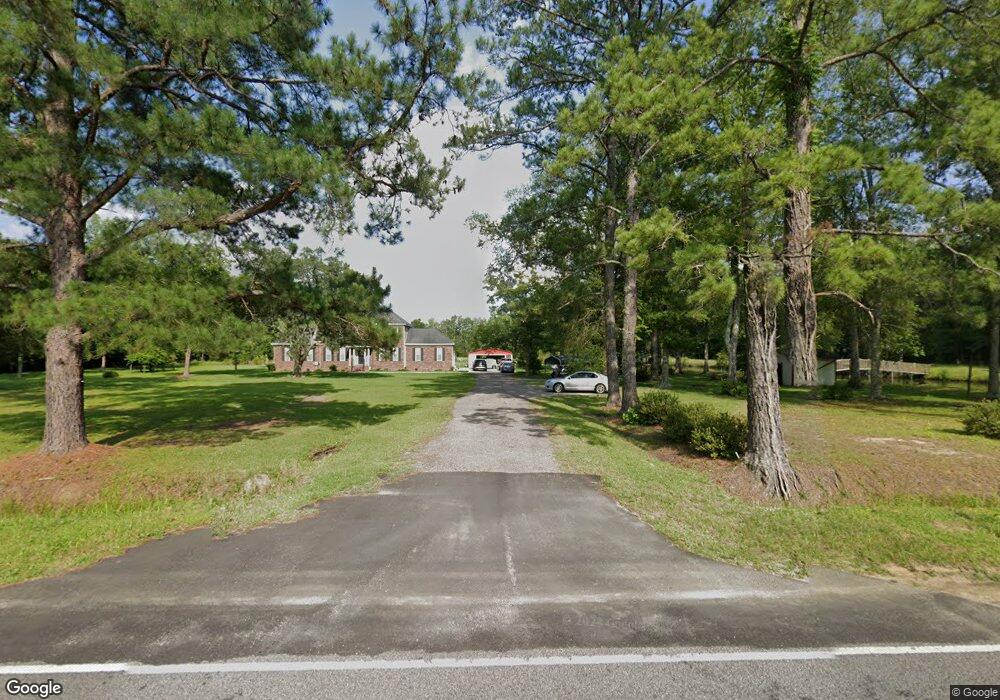
1974 Highway 66 Conway, SC 29526
Estimated Value: $484,000 - $641,716
4
Beds
2
Baths
3,075
Sq Ft
$181/Sq Ft
Est. Value
About This Home
This home is located at 1974 Highway 66, Conway, SC 29526 and is currently estimated at $555,905, approximately $180 per square foot. 1974 Highway 66 is a home with nearby schools including Kingston Elementary School, Conway Middle School, and Conway High School.
Ownership History
Date
Name
Owned For
Owner Type
Purchase Details
Closed on
Oct 28, 2021
Sold by
Sims April Suggs
Bought by
Sims April Suggs and Sims Richard
Current Estimated Value
Home Financials for this Owner
Home Financials are based on the most recent Mortgage that was taken out on this home.
Original Mortgage
$270,500
Outstanding Balance
$246,309
Interest Rate
3.01%
Mortgage Type
New Conventional
Estimated Equity
$309,596
Purchase Details
Closed on
Jul 12, 2013
Sold by
Fowler William Scotty
Bought by
Fowler William Scotty
Purchase Details
Closed on
Oct 19, 2011
Sold by
Stevens Mildred Chestnut
Bought by
Fowler William Scotty
Create a Home Valuation Report for This Property
The Home Valuation Report is an in-depth analysis detailing your home's value as well as a comparison with similar homes in the area
Home Values in the Area
Average Home Value in this Area
Purchase History
| Date | Buyer | Sale Price | Title Company |
|---|---|---|---|
| Sims April Suggs | -- | -- | |
| Fowler William Scotty | -- | -- | |
| Fowler William Scotty | -- | -- |
Source: Public Records
Mortgage History
| Date | Status | Borrower | Loan Amount |
|---|---|---|---|
| Open | Sims April Suggs | $270,500 |
Source: Public Records
Tax History Compared to Growth
Tax History
| Year | Tax Paid | Tax Assessment Tax Assessment Total Assessment is a certain percentage of the fair market value that is determined by local assessors to be the total taxable value of land and additions on the property. | Land | Improvement |
|---|---|---|---|---|
| 2024 | $1,873 | $32,426 | $6,480 | $25,946 |
| 2023 | $1,873 | $13,137 | $1,600 | $11,537 |
| 2021 | $5,473 | $16,379 | $1,743 | $14,636 |
| 2020 | $44 | $16,379 | $1,743 | $14,636 |
| 2019 | $44 | $16,379 | $1,743 | $14,636 |
| 2018 | $44 | $11,447 | $1,423 | $10,024 |
| 2017 | $29 | $11,447 | $1,423 | $10,024 |
| 2016 | -- | $11,183 | $1,423 | $9,760 |
| 2015 | $29 | $11,184 | $1,424 | $9,760 |
| 2014 | $29 | $11,184 | $1,424 | $9,760 |
Source: Public Records
Map
Nearby Homes
- TBD Highway 545 Unit TBD Hannahrae Court
- 6782 S Carolina 366
- 7120 S Carolina 366
- Gause Rd
- 1259 Cheyenne Rd
- LOT 1 W G Rd Unit Lot 1 W G RD
- Lot 2 W G Rd
- 124 Furnies Place
- 4142 Highway 554
- 4138 Highway 554
- 4138 State Hwy 554
- Surfside Plan at Furnie's Place
- Calabash Plan at Furnie's Place
- Oceana Plan at Furnie's Place
- Belair Plan at Furnie's Place
- 4142 State Hwy 554 St
- Surfside II Plan at Furnie's Place
- 1301 Rabbit Ln
- 112 Furnies Place
- 116 Furnies Place
- 1990 Highway 66
- 1983 Highway 66
- 1977 Highway 66
- 6731 Highway 1124
- 1850 Highway 66
- 1850 Madison Way
- 6810 Highway 1124
- 6744 Madison Way
- 6762 Madison Way
- 1845 Highway 66
- 7.73 Cabernet Ln
- 6810 Cabernet Ln
- 1826 Highway 66
- 6852 State Road S-26-1124
- 0 Simpson Creek Dr Unit Simpson Creek 39
- 850 Madison Way
- 2282 Highway 66
- 7040 Highway 1124
- 6659 Highway 366
- 14.56 acres Highway 66