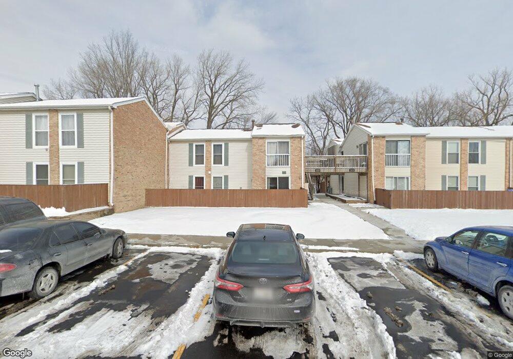
1974 Kenilworth Cir Unit 1976A Hoffman Estates, IL 60169
South Hoffman Estates NeighborhoodEstimated Value: $200,000 - $219,000
2
Beds
--
Bath
980
Sq Ft
$215/Sq Ft
Est. Value
About This Home
This home is located at 1974 Kenilworth Cir Unit 1976A, Hoffman Estates, IL 60169 and is currently estimated at $210,587, approximately $214 per square foot. 1974 Kenilworth Cir Unit 1976A is a home located in Cook County with nearby schools including John Muir Literacy Academy, Dwight D Eisenhower Junior High School, and Hoffman Estates High School.
Ownership History
Date
Name
Owned For
Owner Type
Purchase Details
Closed on
Aug 29, 2025
Sold by
Vales Lucille A and Vales James M
Bought by
Lucille A Vales Declaration Of Trust and Vales
Current Estimated Value
Purchase Details
Closed on
Jun 9, 2010
Sold by
Reetz Miles W and Hillock Dawn L
Bought by
Vales James M
Create a Home Valuation Report for This Property
The Home Valuation Report is an in-depth analysis detailing your home's value as well as a comparison with similar homes in the area
Home Values in the Area
Average Home Value in this Area
Purchase History
| Date | Buyer | Sale Price | Title Company |
|---|---|---|---|
| Lucille A Vales Declaration Of Trust | -- | None Listed On Document | |
| Vales James M | -- | Ticor Title Insurance Compan |
Source: Public Records
Tax History Compared to Growth
Tax History
| Year | Tax Paid | Tax Assessment Tax Assessment Total Assessment is a certain percentage of the fair market value that is determined by local assessors to be the total taxable value of land and additions on the property. | Land | Improvement |
|---|---|---|---|---|
| 2024 | $4,019 | $13,099 | $1,864 | $11,235 |
| 2023 | $3,890 | $13,099 | $1,864 | $11,235 |
| 2022 | $3,890 | $13,099 | $1,864 | $11,235 |
| 2021 | $3,389 | $10,116 | $2,935 | $7,181 |
| 2020 | $3,310 | $10,116 | $2,935 | $7,181 |
| 2019 | $3,307 | $11,297 | $2,935 | $8,362 |
| 2018 | $2,066 | $6,335 | $2,562 | $3,773 |
| 2017 | $2,029 | $6,335 | $2,562 | $3,773 |
| 2016 | $1,887 | $6,335 | $2,562 | $3,773 |
| 2015 | $1,665 | $5,184 | $2,236 | $2,948 |
| 2014 | $1,636 | $5,184 | $2,236 | $2,948 |
| 2013 | $1,594 | $5,184 | $2,236 | $2,948 |
Source: Public Records
Map
Nearby Homes
- 1977 Kenilworth Cir Unit D
- 1975 Kenilworth Cir Unit B
- 1738 Ardwick Dr
- 2004 E Parkview Cir
- 2079 E Parkview Cir
- 1886 Stockton Dr Unit 3253
- 1925 Georgetown Ln Unit 4
- 1800 Huntington Blvd Unit AE615
- 1840 Huntington Blvd Unit 412
- 1840 Huntington Blvd Unit 415
- 1704 Fayette Walk Unit B
- 1456 Della Dr
- 1445 Nottingham Ln
- 1800 Fayette Walk Unit E
- 1808 Fayette Walk Unit H
- 1420 Hassell Rd
- 1795 Marquette Ln Unit 5601
- 1763 Bristol Walk Unit 1763
- 1360 Mayfield Ln
- 1612 Islandview Ct
- 1974 Kenilworth Cir Unit H
- 1974 Kenilworth Cir Unit 1974C
- 1974 Kenilworth Cir Unit 1974H
- 1974 Kenilworth Cir Unit 1974D
- 1974 Kenilworth Cir Unit 1974G
- 1974 Kenilworth Cir Unit G
- 1974 Kenilworth Cir Unit C
- 1974 Kenilworth Cir Unit D
- 1972 Kenilworth Cir Unit 1972
- 1972 Kenilworth Cir Unit 1972
- 1972 Kenilworth Cir Unit 1972
- 1972 Kenilworth Cir Unit 1972
- 1972 Kenilworth Cir Unit A
- 1972 Kenilworth Cir Unit E
- 1972 Kenilworth Cir Unit F
- 1976 Kenilworth Cir Unit 1976E
- 1976 Kenilworth Cir Unit 1976F
- 1976 Kenilworth Cir Unit 1976B
- 1976 Kenilworth Cir Unit E
- 1976 Kenilworth Cir Unit F