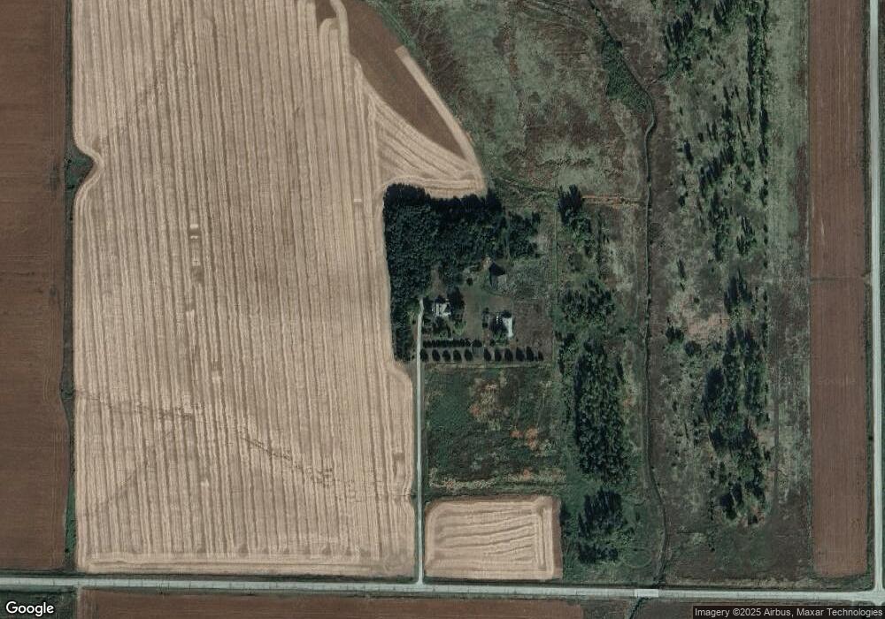
1974 N Rd West Point, NE 68788
Estimated Value: $128,000 - $359,000
4
Beds
1
Bath
1,964
Sq Ft
$138/Sq Ft
Est. Value
About This Home
This home is located at 1974 N Rd, West Point, NE 68788 and is currently estimated at $270,490, approximately $137 per square foot. 1974 N Rd is a home located in Cuming County with nearby schools including West Point-Beemer Junior/Senior High School and Zion Lutheran School.
Ownership History
Date
Name
Owned For
Owner Type
Purchase Details
Closed on
Mar 10, 2020
Sold by
Tomasek Kimberly A
Bought by
Tomasek Steven P
Current Estimated Value
Home Financials for this Owner
Home Financials are based on the most recent Mortgage that was taken out on this home.
Original Mortgage
$120,000
Outstanding Balance
$105,819
Interest Rate
3.5%
Mortgage Type
Credit Line Revolving
Estimated Equity
$164,671
Create a Home Valuation Report for This Property
The Home Valuation Report is an in-depth analysis detailing your home's value as well as a comparison with similar homes in the area
Home Values in the Area
Average Home Value in this Area
Purchase History
| Date | Buyer | Sale Price | Title Company |
|---|---|---|---|
| Tomasek Steven P | $83,553 | None Available |
Source: Public Records
Mortgage History
| Date | Status | Borrower | Loan Amount |
|---|---|---|---|
| Open | Tomasek Steven P | $120,000 |
Source: Public Records
Tax History Compared to Growth
Tax History
| Year | Tax Paid | Tax Assessment Tax Assessment Total Assessment is a certain percentage of the fair market value that is determined by local assessors to be the total taxable value of land and additions on the property. | Land | Improvement |
|---|---|---|---|---|
| 2025 | $1,101 | $201,310 | $79,800 | $121,510 |
| 2024 | $1,101 | $185,840 | $78,355 | $107,485 |
| 2023 | $1,526 | $172,090 | $69,445 | $102,645 |
| 2022 | $1,392 | $142,290 | $53,545 | $88,745 |
| 2021 | $1,262 | $125,090 | $49,180 | $75,910 |
| 2020 | $1,114 | $110,890 | $48,630 | $62,260 |
| 2019 | $1,080 | $105,230 | $49,180 | $56,050 |
| 2018 | $1,086 | $106,685 | $50,635 | $56,050 |
| 2017 | $1,079 | $99,895 | $49,475 | $50,420 |
| 2016 | $1,085 | $97,355 | $51,015 | $46,340 |
| 2015 | $1,114 | $93,160 | $46,820 | $46,340 |
| 2014 | $1,089 | $85,475 | $42,010 | $43,465 |
| 2013 | $1,089 | $74,280 | $31,390 | $42,890 |
Source: Public Records
Map
Nearby Homes
