19745 Nestucca Dr Cloverdale, OR 97112
Estimated Value: $487,987 - $561,000
3
Beds
2
Baths
1,664
Sq Ft
$316/Sq Ft
Est. Value
About This Home
This home is located at 19745 Nestucca Dr, Cloverdale, OR 97112 and is currently estimated at $525,747, approximately $315 per square foot. 19745 Nestucca Dr is a home located in Tillamook County with nearby schools including Nestucca K-8 School and Nestucca High School.
Ownership History
Date
Name
Owned For
Owner Type
Purchase Details
Closed on
Oct 24, 2024
Sold by
Mcmellon Karla A
Bought by
Mcmellon Family Revocable Living Trust and Mcmellon
Current Estimated Value
Purchase Details
Closed on
Aug 28, 2017
Sold by
Mcmellon Randy L
Bought by
Mcmellon Randy L and Crase Melody Lynn
Create a Home Valuation Report for This Property
The Home Valuation Report is an in-depth analysis detailing your home's value as well as a comparison with similar homes in the area
Home Values in the Area
Average Home Value in this Area
Purchase History
| Date | Buyer | Sale Price | Title Company |
|---|---|---|---|
| Mcmellon Family Revocable Living Trust | -- | None Listed On Document | |
| Mcmellon Karla A | -- | None Listed On Document | |
| Mcmellon Randy L | -- | None Available |
Source: Public Records
Tax History Compared to Growth
Tax History
| Year | Tax Paid | Tax Assessment Tax Assessment Total Assessment is a certain percentage of the fair market value that is determined by local assessors to be the total taxable value of land and additions on the property. | Land | Improvement |
|---|---|---|---|---|
| 2024 | $2,919 | $256,510 | $41,760 | $214,750 |
| 2023 | $2,898 | $249,040 | $40,540 | $208,500 |
| 2022 | $2,791 | $241,790 | $39,360 | $202,430 |
| 2021 | $2,711 | $234,750 | $38,220 | $196,530 |
| 2020 | $2,646 | $227,920 | $37,100 | $190,820 |
| 2019 | $2,588 | $221,290 | $36,020 | $185,270 |
| 2018 | $2,374 | $214,850 | $34,970 | $179,880 |
| 2017 | $2,119 | $208,600 | $33,950 | $174,650 |
| 2016 | $2,059 | $202,530 | $32,960 | $169,570 |
| 2015 | $2,018 | $196,640 | $32,000 | $164,640 |
| 2014 | $1,970 | $190,920 | $31,070 | $159,850 |
| 2013 | -- | $185,360 | $30,160 | $155,200 |
Source: Public Records
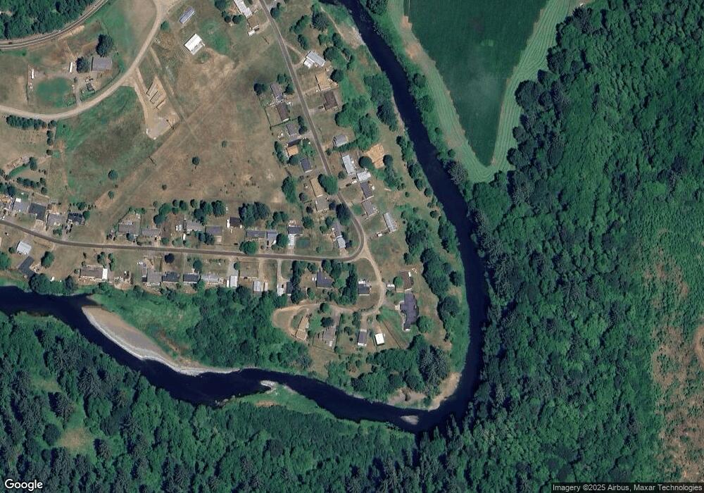
Map
Nearby Homes
- 24275 Bunn Creek Rd
- 25855 Chinook St
- 18999 Nestucca Dr
- 18600 Nestucca Dr
- 18485 Salmon Dr
- 18595 Nestucca Dr
- 22600 Blaine Rd
- 0 Farmer Creek Rd Unit 1000 111923028
- 1000,1100 & 1200 Farmer Creek Rd
- 17805 Highway 101 S
- 31165 Oregon 22
- 31165 Highway 22
- 14840 Condor Rd
- TL 600 Oregon 22
- TL 500 Sandlake Rd
- 500 Sandlake Rd
- 0 Sandlake Rd Unit 25-541
- 0 Sandlake Rd Unit 1207
- TL 2004 Derrick Rd
- 0 Vl Galloway Rd
- 19695 W Creek Loop
- 19695 Nestucca Dr
- 19725 Nestucca Dr
- 19625 W Creek Loop
- 19775 W Creek Loop
- 1800 Nestucca Dr
- 19775 Nestucca Dr
- 19545 Nestucca Dr
- 19530 W Creek Loop
- 19530 Nestucca Dr
- V/L W Creek Loop
- 19820 W Creek Loop
- 19820 W Creek Loop Unit 2 & 3
- 19535 Nestucca Dr
- 24747 U S 101 S
- 24675 U S 101 S
- 24735 Highway 101 S
- 24747 Highway 101 S
- 19855 Blaine Rd
- 24805 Highway 101 S