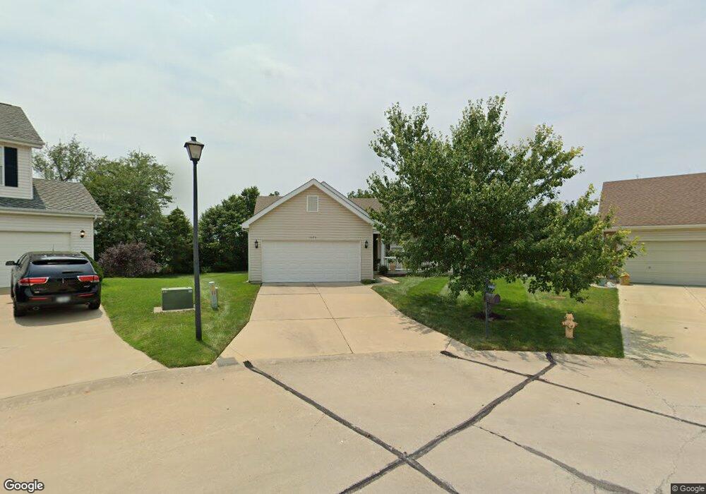
1975 Briarfield Dr Lake Saint Louis, MO 63367
Estimated Value: $346,000 - $404,000
3
Beds
2
Baths
1,573
Sq Ft
$235/Sq Ft
Est. Value
About This Home
This home is located at 1975 Briarfield Dr, Lake Saint Louis, MO 63367 and is currently estimated at $369,121, approximately $234 per square foot. 1975 Briarfield Dr is a home located in St. Charles County with nearby schools including Discovery Ridge Elementary School, Frontier Middle School, and Liberty High School.
Ownership History
Date
Name
Owned For
Owner Type
Purchase Details
Closed on
Aug 30, 2005
Sold by
Ayers Patricia A and Meehan Katherine
Bought by
Ayers Patricia and Meehan Katherine
Current Estimated Value
Home Financials for this Owner
Home Financials are based on the most recent Mortgage that was taken out on this home.
Original Mortgage
$140,000
Outstanding Balance
$74,665
Interest Rate
5.8%
Mortgage Type
Fannie Mae Freddie Mac
Estimated Equity
$294,456
Create a Home Valuation Report for This Property
The Home Valuation Report is an in-depth analysis detailing your home's value as well as a comparison with similar homes in the area
Home Values in the Area
Average Home Value in this Area
Purchase History
| Date | Buyer | Sale Price | Title Company |
|---|---|---|---|
| Ayers Patricia | -- | Sec | |
| Ayers Patricia | $200,108 | Sec |
Source: Public Records
Mortgage History
| Date | Status | Borrower | Loan Amount |
|---|---|---|---|
| Open | Ayers Patricia | $140,000 |
Source: Public Records
Tax History Compared to Growth
Tax History
| Year | Tax Paid | Tax Assessment Tax Assessment Total Assessment is a certain percentage of the fair market value that is determined by local assessors to be the total taxable value of land and additions on the property. | Land | Improvement |
|---|---|---|---|---|
| 2025 | $4,053 | $62,736 | -- | -- |
| 2023 | $4,056 | $59,158 | $0 | $0 |
| 2022 | $3,449 | $46,840 | $0 | $0 |
| 2021 | $3,456 | $46,840 | $0 | $0 |
| 2020 | $3,180 | $41,415 | $0 | $0 |
| 2019 | $2,985 | $41,415 | $0 | $0 |
| 2018 | $2,833 | $37,387 | $0 | $0 |
| 2017 | $2,808 | $37,387 | $0 | $0 |
| 2016 | $2,581 | $32,960 | $0 | $0 |
| 2015 | $2,543 | $32,960 | $0 | $0 |
| 2014 | $2,227 | $30,956 | $0 | $0 |
Source: Public Records
Map
Nearby Homes
- 507 Country Chase Dr
- 1832 English Oak Dr
- 104 Long Pass Ct
- 316 Country Orchard Dr
- 2021 Lynwood Ridge Dr
- 2022 Lynwood Ridge Dr
- 650 Country Village Dr
- 125 Far Meadow Dr
- 1800 English Oak Dr
- 2829 Preston Woods Trail
- 142 Countryshire Dr
- 341 Pointe Loma Blvd
- 31 Briscoe Glen Ct
- 523 Long Creek Dr
- 522 Long Creek Dr
- 126 Far Meadow Dr
- 618 Country Heights Dr
- 236 Randlin Dr
- 320 Briarchase Cir
- 506 Country Landing Dr
- 1973 Briarfield Dr
- 1977 Briarfield Dr
- 2121 Preston Woods Pkwy
- 2548 Amber Willow Ct
- 2123 Preston Woods Pkwy
- 2546 Amber Willow Ct
- 2119 Preston Woods Pkwy
- 1971 Briarfield Dr
- 2125 Preston Woods Pkwy
- 2550 Amber Willow Ct
- 2544 Amber Willow Ct
- 1976 Briarfield Dr
- 2117 Preston Woods Pkwy
- 1969 Briarfield Dr
- 2127 Preston Woods Pkwy
- 1974 Briarfield Dr
- 2542 Amber Willow Ct
- 1972 Briarfield Dr
- 1967 Briarfield Dr
- 2552 Amber Willow Ct