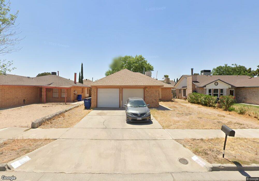
1975 Dana Bree Dr El Paso, TX 79936
O'Shea Keleher NeighborhoodEstimated Value: $201,000 - $218,000
--
Bed
2
Baths
1,294
Sq Ft
$160/Sq Ft
Est. Value
About This Home
This home is located at 1975 Dana Bree Dr, El Paso, TX 79936 and is currently estimated at $206,497, approximately $159 per square foot. 1975 Dana Bree Dr is a home located in El Paso County with nearby schools including O'shea Keleher Elementary School, William D Slider Middle School, and Montwood High School.
Ownership History
Date
Name
Owned For
Owner Type
Purchase Details
Closed on
Sep 15, 2005
Sold by
Rodriguez David
Bought by
Lara Gabriel U
Current Estimated Value
Home Financials for this Owner
Home Financials are based on the most recent Mortgage that was taken out on this home.
Original Mortgage
$63,648
Outstanding Balance
$33,945
Interest Rate
5.8%
Mortgage Type
Seller Take Back
Estimated Equity
$172,552
Purchase Details
Closed on
Sep 30, 1998
Sold by
Va
Bought by
Rodriguez David
Home Financials for this Owner
Home Financials are based on the most recent Mortgage that was taken out on this home.
Original Mortgage
$63,648
Interest Rate
6.92%
Mortgage Type
VA
Purchase Details
Closed on
May 12, 1998
Sold by
Fleet Mtg Corp
Bought by
Va
Purchase Details
Closed on
Feb 3, 1998
Sold by
Pena Crispin and Pena Juana
Bought by
Fleet Mtg Corp
Create a Home Valuation Report for This Property
The Home Valuation Report is an in-depth analysis detailing your home's value as well as a comparison with similar homes in the area
Home Values in the Area
Average Home Value in this Area
Purchase History
| Date | Buyer | Sale Price | Title Company |
|---|---|---|---|
| Lara Gabriel U | -- | -- | |
| Rodriguez David | -- | -- | |
| Va | -- | -- | |
| Fleet Mtg Corp | -- | -- |
Source: Public Records
Mortgage History
| Date | Status | Borrower | Loan Amount |
|---|---|---|---|
| Open | Lara Gabriel U | $63,648 | |
| Previous Owner | Rodriguez David | $63,648 |
Source: Public Records
Tax History Compared to Growth
Tax History
| Year | Tax Paid | Tax Assessment Tax Assessment Total Assessment is a certain percentage of the fair market value that is determined by local assessors to be the total taxable value of land and additions on the property. | Land | Improvement |
|---|---|---|---|---|
| 2025 | $4,833 | $187,776 | $20,459 | $167,317 |
| 2024 | $4,833 | $187,776 | $20,459 | $167,317 |
| 2023 | $4,947 | $171,841 | $20,459 | $151,382 |
| 2022 | $4,446 | $153,512 | $20,459 | $133,053 |
| 2021 | $4,267 | $135,583 | $20,459 | $115,124 |
| 2020 | $3,625 | $114,208 | $16,519 | $97,689 |
| 2018 | $3,314 | $113,307 | $16,519 | $96,788 |
| 2017 | $3,100 | $108,514 | $16,519 | $91,995 |
| 2016 | $3,016 | $105,578 | $16,519 | $89,059 |
| 2015 | $2,915 | $105,578 | $16,519 | $89,059 |
| 2014 | $2,915 | $105,018 | $16,519 | $88,499 |
Source: Public Records
Map
Nearby Homes
- 11663 Clear Lake Way
- 1935 Bay City Place
- 11539 Clear Lake Way
- 2029 Greenlee Dr
- 1733 Karl Wyler Dr
- 2078 Gus Moran St
- TBD 001 Montwood Dr
- TBD 006 Montwood Dr
- TBD 003 Montwood Dr
- TBD 004 Montwood Dr
- TBD 005 Montwood Dr
- TBD 002 Montwood Dr
- 1904 Ralph Janes Place
- 11654 Bob Mitchell Dr
- 1690 Leroy Bonse Dr
- 11709 Ronald McNair Dr
- 11648 Lake Erie Dr
- 3655 George Dieter Dr
- 2258 Bill Horn Way
- 11506 James Grant Dr
- 1973 Dana Bree Dr
- 1977 Dana Bree Dr
- 1971 Dana Bree Dr
- 1979 Dana Bree Dr
- 1838 Chris Scott Dr
- 1900 Chris Scott Dr
- 1834 Chris Scott Dr
- 1902 Chris Scott Dr
- 1969 Dana Bree Dr
- 1981 Dana Bree Dr
- 1974 Dana Bree Dr
- 1972 Dana Bree Dr
- 1976 Dana Bree Dr
- 1832 Chris Scott Dr
- 1904 Chris Scott Dr
- 1970 Dana Bree Dr
- 1978 Dana Bree Dr
- 1967 Dana Bree Dr
- 1983 Dana Bree Dr
- 1968 Dana Bree Dr