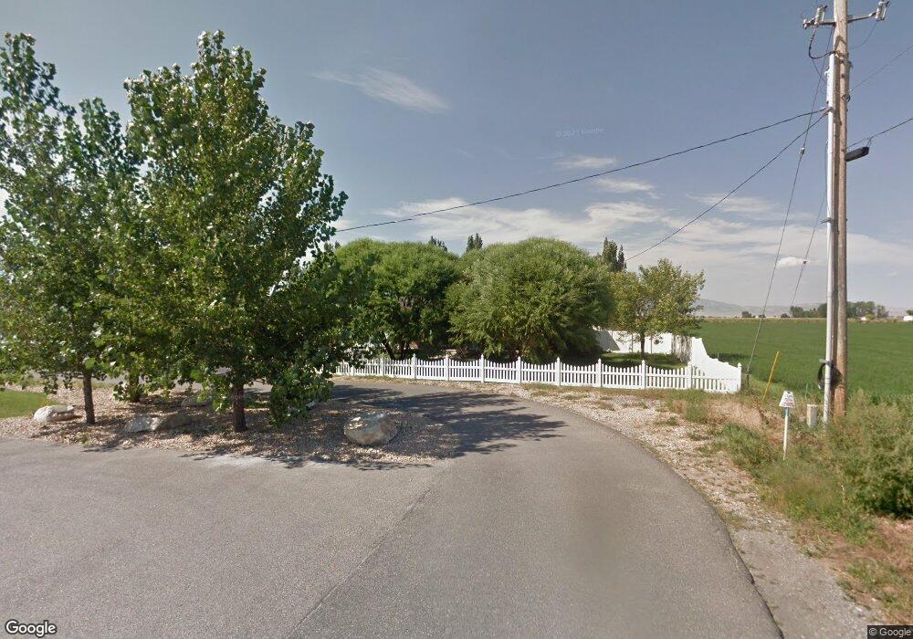
1975 E Main St Tremonton, UT 84337
Estimated Value: $433,000 - $622,000
4
Beds
2
Baths
2,193
Sq Ft
$228/Sq Ft
Est. Value
About This Home
This home is located at 1975 E Main St, Tremonton, UT 84337 and is currently estimated at $501,050, approximately $228 per square foot. 1975 E Main St is a home located in Box Elder County with nearby schools including North Park School, Bear River Middle School, and Alice C. Harris Intermediate School.
Ownership History
Date
Name
Owned For
Owner Type
Purchase Details
Closed on
May 18, 2011
Sold by
Barnett Woodrow S and Barnett Kristi Jo
Bought by
Vaca Paul F and Vacova Anna
Current Estimated Value
Home Financials for this Owner
Home Financials are based on the most recent Mortgage that was taken out on this home.
Original Mortgage
$140,000
Outstanding Balance
$96,618
Interest Rate
4.73%
Mortgage Type
New Conventional
Estimated Equity
$404,432
Purchase Details
Closed on
Feb 1, 2008
Sold by
Bills Bryan J and Bills Diane C
Bought by
Barnett Woodrow S and Barnett Kristi Jo
Home Financials for this Owner
Home Financials are based on the most recent Mortgage that was taken out on this home.
Original Mortgage
$173,548
Interest Rate
6.04%
Mortgage Type
FHA
Create a Home Valuation Report for This Property
The Home Valuation Report is an in-depth analysis detailing your home's value as well as a comparison with similar homes in the area
Home Values in the Area
Average Home Value in this Area
Purchase History
| Date | Buyer | Sale Price | Title Company |
|---|---|---|---|
| Vaca Paul F | -- | American Secure Title | |
| Barnett Woodrow S | -- | -- |
Source: Public Records
Mortgage History
| Date | Status | Borrower | Loan Amount |
|---|---|---|---|
| Open | Vaca Paul F | $140,000 | |
| Previous Owner | Barnett Woodrow S | $173,548 |
Source: Public Records
Tax History Compared to Growth
Tax History
| Year | Tax Paid | Tax Assessment Tax Assessment Total Assessment is a certain percentage of the fair market value that is determined by local assessors to be the total taxable value of land and additions on the property. | Land | Improvement |
|---|---|---|---|---|
| 2025 | $2,298 | $397,388 | $105,000 | $292,388 |
| 2024 | $2,298 | $397,947 | $105,000 | $292,947 |
| 2023 | $2,366 | $402,293 | $100,000 | $302,293 |
| 2022 | $1,988 | $192,778 | $16,500 | $176,278 |
| 2021 | $1,794 | $251,901 | $30,000 | $221,901 |
| 2020 | $1,635 | $251,901 | $30,000 | $221,901 |
| 2019 | $1,515 | $124,505 | $16,500 | $108,005 |
| 2018 | $1,249 | $93,688 | $18,673 | $75,015 |
| 2017 | $1,290 | $170,341 | $18,673 | $136,391 |
| 2016 | $1,270 | $90,116 | $18,673 | $71,443 |
| 2015 | $1,160 | $83,621 | $18,673 | $64,948 |
| 2014 | $1,160 | $80,528 | $18,673 | $61,855 |
| 2013 | -- | $80,528 | $18,673 | $61,855 |
Source: Public Records
Map
Nearby Homes
- 234 N 870 W Unit 19
- 4979 W 12000 N
- 137 N 870 W Unit 28
- Auburn Plan at River's Edge - Tremonton
- Aberdeen Plan at River's Edge - Tremonton
- Glendale Plan at River's Edge - Tremonton
- Lyndhurst Plan at River's Edge - Tremonton
- Sumac Plan at River's Edge - Tremonton
- Redwood Plan at River's Edge - Tremonton
- Summerlyn Plan at River's Edge - Tremonton
- Fairview Plan at River's Edge - Tremonton
- 408 N 775 E
- 1286 E 240 N Unit 15
- 11990 N 4800 W
- 635 E 240 N Unit 9
- 635 E 240 N
- 1183 S 1335 E Unit 76
- 1118 E 1310 S
- 518 E 40 S
- 760 N 680 E
- 1975 E Main St Unit 2
- 1971 E Main St
- 1979 E Main St
- 1969 E Main St
- 1983 E Main St
- 1945 E Main St
- 1945 E Main St
- 1955 E Main St
- 1993 E Main St
- 1987 E Main St
- 1844 E Main St
- 1930 E Main St
- 1845 E Main St
- 2000 E Main St
- 2111 E Main St
- 2165 E Main St
- 1960 E Main St Unit LOG
- 1920 E Main St
- 1785 E Main St
- 2139 E Main St