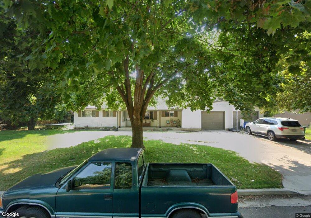
1975 N 950 E North Logan, UT 84341
Estimated Value: $497,000 - $583,000
4
Beds
3
Baths
3,168
Sq Ft
$168/Sq Ft
Est. Value
About This Home
This home is located at 1975 N 950 E, North Logan, UT 84341 and is currently estimated at $533,194, approximately $168 per square foot. 1975 N 950 E is a home located in Cache County with nearby schools including Greenville School, Cedar Ridge School, and North Cache Middle School.
Ownership History
Date
Name
Owned For
Owner Type
Purchase Details
Closed on
Sep 27, 2021
Sold by
Wilson Michael C and Wilson Estee F
Bought by
Christensen Brett Andre and Christensen Melanie Ann
Current Estimated Value
Home Financials for this Owner
Home Financials are based on the most recent Mortgage that was taken out on this home.
Original Mortgage
$420,000
Outstanding Balance
$352,211
Interest Rate
2.8%
Mortgage Type
Credit Line Revolving
Estimated Equity
$180,983
Purchase Details
Closed on
Oct 3, 2018
Sold by
Forbush Brady H and Wilson Michael C
Bought by
Wilson Michael C and Wilson Estee F
Home Financials for this Owner
Home Financials are based on the most recent Mortgage that was taken out on this home.
Original Mortgage
$212,000
Interest Rate
4.5%
Mortgage Type
New Conventional
Purchase Details
Closed on
May 7, 2010
Sold by
Forbush Janet
Bought by
Forbush Brady H and Wilson Michael C
Home Financials for this Owner
Home Financials are based on the most recent Mortgage that was taken out on this home.
Original Mortgage
$157,102
Interest Rate
5.25%
Mortgage Type
FHA
Create a Home Valuation Report for This Property
The Home Valuation Report is an in-depth analysis detailing your home's value as well as a comparison with similar homes in the area
Home Values in the Area
Average Home Value in this Area
Purchase History
| Date | Buyer | Sale Price | Title Company |
|---|---|---|---|
| Christensen Brett Andre | -- | American Secure Title Logan | |
| Wilson Michael C | -- | Hickman Land Title Company | |
| Forbush Brady H | -- | Hickman Land Title Company |
Source: Public Records
Mortgage History
| Date | Status | Borrower | Loan Amount |
|---|---|---|---|
| Open | Christensen Brett Andre | $420,000 | |
| Previous Owner | Wilson Michael C | $212,000 | |
| Previous Owner | Forbush Brady H | $157,102 |
Source: Public Records
Tax History
| Year | Tax Paid | Tax Assessment Tax Assessment Total Assessment is a certain percentage of the fair market value that is determined by local assessors to be the total taxable value of land and additions on the property. | Land | Improvement |
|---|---|---|---|---|
| 2025 | $2,120 | $296,785 | $0 | $0 |
| 2024 | $2,264 | $294,885 | $0 | $0 |
| 2023 | $2,306 | $281,105 | $0 | $0 |
| 2022 | $2,092 | $243,650 | $0 | $0 |
| 2021 | $1,892 | $341,650 | $61,500 | $280,150 |
| 2020 | $1,636 | $277,000 | $61,500 | $215,500 |
| 2019 | $1,713 | $277,000 | $61,500 | $215,500 |
| 2018 | $1,196 | $187,500 | $61,500 | $126,000 |
| 2017 | $1,126 | $92,950 | $0 | $0 |
| 2016 | $1,144 | $92,950 | $0 | $0 |
| 2015 | $1,148 | $92,950 | $0 | $0 |
| 2014 | $1,121 | $92,950 | $0 | $0 |
| 2013 | -- | $77,700 | $0 | $0 |
Source: Public Records
Map
Nearby Homes
- 1100 E 1900 N Unit 10
- 1593 N 110 W Unit 201
- 1593 N 110 W Unit 202
- 1593 N 110 W Unit 204
- 1200 W 1400 N
- 2950 N Mahogony Valley Rd E Unit 7
- 1598 N Sharptail Cir
- 1000 W 2500 N
- 2168 N 750 E
- 710 E 2160 N
- 1872 N 515 W
- 741 E 2200 N
- 2284 N 740 E
- 1335 E 2300 N
- 2025 N 1550 E
- 2048 N 350 E
- 1495 E 2300 N
- 2469 N 620 E Unit 3
- 2477 N 620 E Unit 4
- 1185 E 2500 N
Your Personal Tour Guide
Ask me questions while you tour the home.