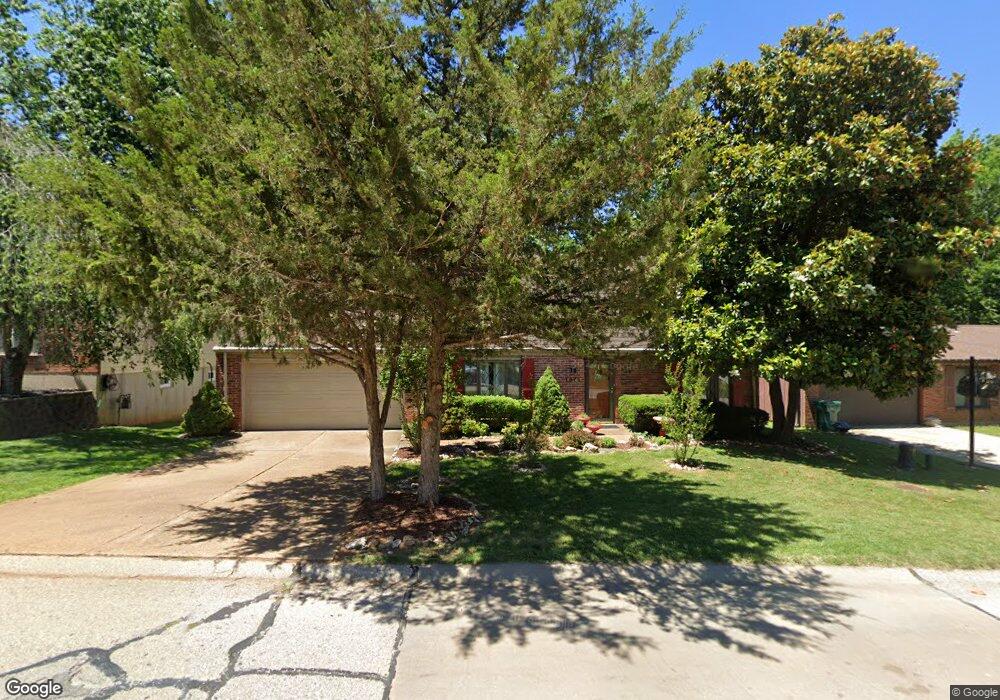
1975 Parkton Way Barnhart, MO 63012
Estimated Value: $243,000 - $272,000
--
Bed
--
Bath
1,008
Sq Ft
$253/Sq Ft
Est. Value
About This Home
This home is located at 1975 Parkton Way, Barnhart, MO 63012 and is currently estimated at $254,669, approximately $252 per square foot. 1975 Parkton Way is a home located in Jefferson County with nearby schools including Windsor High School and St. Joseph Catholic School.
Ownership History
Date
Name
Owned For
Owner Type
Purchase Details
Closed on
Oct 24, 2007
Sold by
Beare Mark R and Beare Cynthia M
Bought by
Riley Stephen and Riley Carol
Current Estimated Value
Home Financials for this Owner
Home Financials are based on the most recent Mortgage that was taken out on this home.
Original Mortgage
$140,900
Outstanding Balance
$88,466
Interest Rate
6.32%
Mortgage Type
Purchase Money Mortgage
Estimated Equity
$166,203
Purchase Details
Closed on
Sep 26, 2002
Sold by
Beare Mary Louise
Bought by
Beare Mark R
Home Financials for this Owner
Home Financials are based on the most recent Mortgage that was taken out on this home.
Original Mortgage
$97,600
Interest Rate
6.26%
Purchase Details
Closed on
Mar 8, 2002
Sold by
Beare Mary Louise
Bought by
Beare Cynthia Marie and Beare Christopher Ronald
Create a Home Valuation Report for This Property
The Home Valuation Report is an in-depth analysis detailing your home's value as well as a comparison with similar homes in the area
Home Values in the Area
Average Home Value in this Area
Purchase History
| Date | Buyer | Sale Price | Title Company |
|---|---|---|---|
| Riley Stephen | -- | Investors Title Co | |
| Beare Mark R | -- | Commonwealth Title | |
| Beare Cynthia Marie | -- | -- |
Source: Public Records
Mortgage History
| Date | Status | Borrower | Loan Amount |
|---|---|---|---|
| Open | Riley Stephen | $140,900 | |
| Previous Owner | Beare Mark R | $97,600 |
Source: Public Records
Tax History Compared to Growth
Tax History
| Year | Tax Paid | Tax Assessment Tax Assessment Total Assessment is a certain percentage of the fair market value that is determined by local assessors to be the total taxable value of land and additions on the property. | Land | Improvement |
|---|---|---|---|---|
| 2025 | $1,832 | $26,700 | $4,800 | $21,900 |
| 2024 | $1,832 | $25,000 | $4,800 | $20,200 |
| 2023 | $1,832 | $25,000 | $4,800 | $20,200 |
| 2022 | $1,647 | $22,500 | $2,300 | $20,200 |
| 2021 | $1,647 | $22,500 | $2,300 | $20,200 |
| 2020 | $1,531 | $20,300 | $1,900 | $18,400 |
| 2019 | $1,529 | $20,300 | $1,900 | $18,400 |
| 2018 | $1,508 | $20,300 | $1,900 | $18,400 |
| 2017 | $1,451 | $20,300 | $1,900 | $18,400 |
| 2016 | $1,313 | $18,300 | $1,900 | $16,400 |
| 2015 | $1,309 | $18,300 | $1,900 | $16,400 |
| 2013 | -- | $17,900 | $1,900 | $16,000 |
Source: Public Records
Map
Nearby Homes
- 0 Hwy Mm Unit MAR24032005
- 7013 Wayles Dr
- 7009 Albermarle Ct
- 1675 Old State Road M
- 0 New Highway M Unit MAR25024234
- 7056 Albermarle Ct
- 7075 Metropolitan Blvd
- 7062 Tuckahoe Ct
- 6625 Dry Creek Rd
- 6788 Haven Hill Rd
- 1728 Fairfax Dr
- 7255 Meriwether Ct
- 2090 Birchwood Dr
- 0 Highland Terrace
- 7098 Ridge Dr
- 6 Huntleigh Woods
- 1670 Clover Ct
- 1022 Graystone Park
- 2320 Castlegate Dr
- 2354 Fountain Dr
- 1969 Parkton Way
- 1979 Parkton Way
- 1963 Parkton Way
- 1978 Parkton Way
- 1974 Parkton Way
- 1983 Parkton Way
- 1970 Parkton Way
- 1966 Parkton Way
- 1982 Parkton Way
- 1959 Parkton Way
- 1987 Parkton Way
- 1962 Parkton Way
- 1986 Parkton Way
- 1962 Donnell Dr
- 1958 Parkton Way
- 1958 Donnell Dr
- 1956 Donnell Dr
- 2003 Parkton Way
- 1955 Parkton Way
- 1959 Catlin Dr