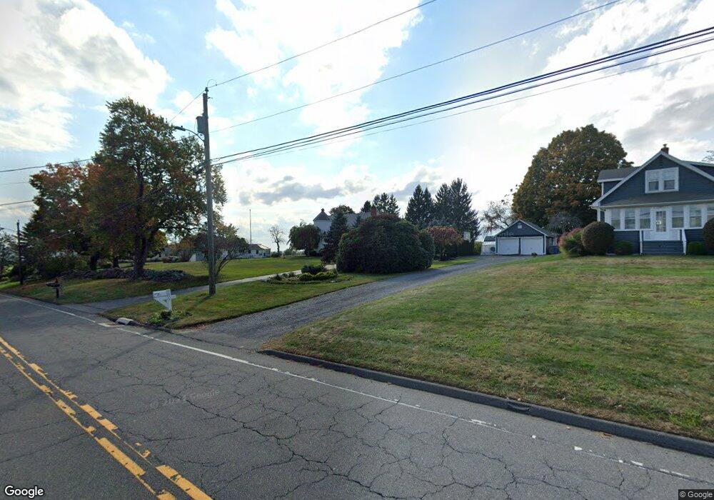
1975 Perkins St Bristol, CT 06010
North Bristol NeighborhoodEstimated Value: $502,000 - $629,000
3
Beds
4
Baths
2,618
Sq Ft
$221/Sq Ft
Est. Value
About This Home
This home is located at 1975 Perkins St, Bristol, CT 06010 and is currently estimated at $577,946, approximately $220 per square foot. 1975 Perkins St is a home located in Hartford County with nearby schools including Edgewood School, Chippens Hill Middle School, and Bristol Central High School.
Ownership History
Date
Name
Owned For
Owner Type
Purchase Details
Closed on
Aug 27, 2007
Sold by
Kallenbach Kristian J and Kallenbach Michelle C
Bought by
Morin Jeffrey J and Morin Donna M
Current Estimated Value
Home Financials for this Owner
Home Financials are based on the most recent Mortgage that was taken out on this home.
Original Mortgage
$210,000
Interest Rate
6.78%
Purchase Details
Closed on
Jul 15, 2004
Sold by
T Co Of Ct and Barnes Thomas O
Bought by
Kallenback Kristian J and Kallenback Michelle C
Purchase Details
Closed on
Oct 17, 1994
Sold by
Drisdelle Bldrs Inc
Bought by
Messina Daniel J and Messina Marie S
Purchase Details
Closed on
Mar 21, 1994
Sold by
Drisdelle Bldrs Inc
Bought by
Hallisey Denise A
Purchase Details
Closed on
Nov 16, 1992
Sold by
Clements Eleanor
Bought by
Littlefield Martha
Create a Home Valuation Report for This Property
The Home Valuation Report is an in-depth analysis detailing your home's value as well as a comparison with similar homes in the area
Home Values in the Area
Average Home Value in this Area
Purchase History
| Date | Buyer | Sale Price | Title Company |
|---|---|---|---|
| Morin Jeffrey J | $369,000 | -- | |
| Kallenback Kristian J | $330,000 | -- | |
| Messina Daniel J | $437,000 | -- | |
| Hallisey Denise A | $125,000 | -- | |
| Littlefield Martha | $116,000 | -- |
Source: Public Records
Mortgage History
| Date | Status | Borrower | Loan Amount |
|---|---|---|---|
| Open | Littlefield Martha | $212,000 | |
| Closed | Littlefield Martha | $210,000 | |
| Previous Owner | Littlefield Martha | $33,000 |
Source: Public Records
Tax History Compared to Growth
Tax History
| Year | Tax Paid | Tax Assessment Tax Assessment Total Assessment is a certain percentage of the fair market value that is determined by local assessors to be the total taxable value of land and additions on the property. | Land | Improvement |
|---|---|---|---|---|
| 2025 | $10,487 | $310,730 | $62,230 | $248,500 |
| 2024 | $9,897 | $310,730 | $62,230 | $248,500 |
| 2023 | $9,424 | $310,520 | $62,230 | $248,290 |
| 2022 | $8,467 | $220,780 | $48,580 | $172,200 |
| 2021 | $8,467 | $220,780 | $48,580 | $172,200 |
| 2020 | $8,467 | $220,780 | $48,580 | $172,200 |
| 2019 | $8,401 | $220,780 | $48,580 | $172,200 |
| 2018 | $8,142 | $220,780 | $48,580 | $172,200 |
| 2017 | $7,667 | $212,800 | $66,150 | $146,650 |
| 2016 | $7,667 | $212,800 | $66,150 | $146,650 |
| 2015 | $7,365 | $212,800 | $66,150 | $146,650 |
| 2014 | $7,365 | $212,800 | $66,150 | $146,650 |
Source: Public Records
Map
Nearby Homes
- 116 Larkspur Ln
- 126 Harvard Place
- 276 Hart St
- 1970 Perkins St
- 62 (Lot 13-1) James P Casey Rd
- 68 Hart St
- 0 Hart St Unit 170255530
- 114 El Toro Dr
- 90 Battle St
- 8 Briar Cliff
- 35 James P Casey Rd
- 439 James P Casey Rd
- 335 Pennwood Place
- 6 El Toro Dr
- 15 Bittersweet Ln
- 454 Maple Ave
- 48 Boivin St
- 66 Intervale Rd
- 117 W Chippen Hill Rd
- 58 W Chippen Hill Rd
- 1977 Perkins St
- 1939 Perkins St
- 1985 Perkins St
- 1960 Perkins St
- 1987 Perkins St
- 2001 Perkins St
- 2010 Perkins St
- 2020 Perkins St
- 2015 Perkins St
- 2030 Perkins St
- 164 Southdown Dr
- 2023 Perkins St
- 2044 Perkins St
- 1930 Perkins St
- 148 Southdown Dr
- 2033 Perkins St
- 153 Southdown Dr
- 165 Southdown Dr
- 136 Aldbourne Dr
- 134 Southdown Dr