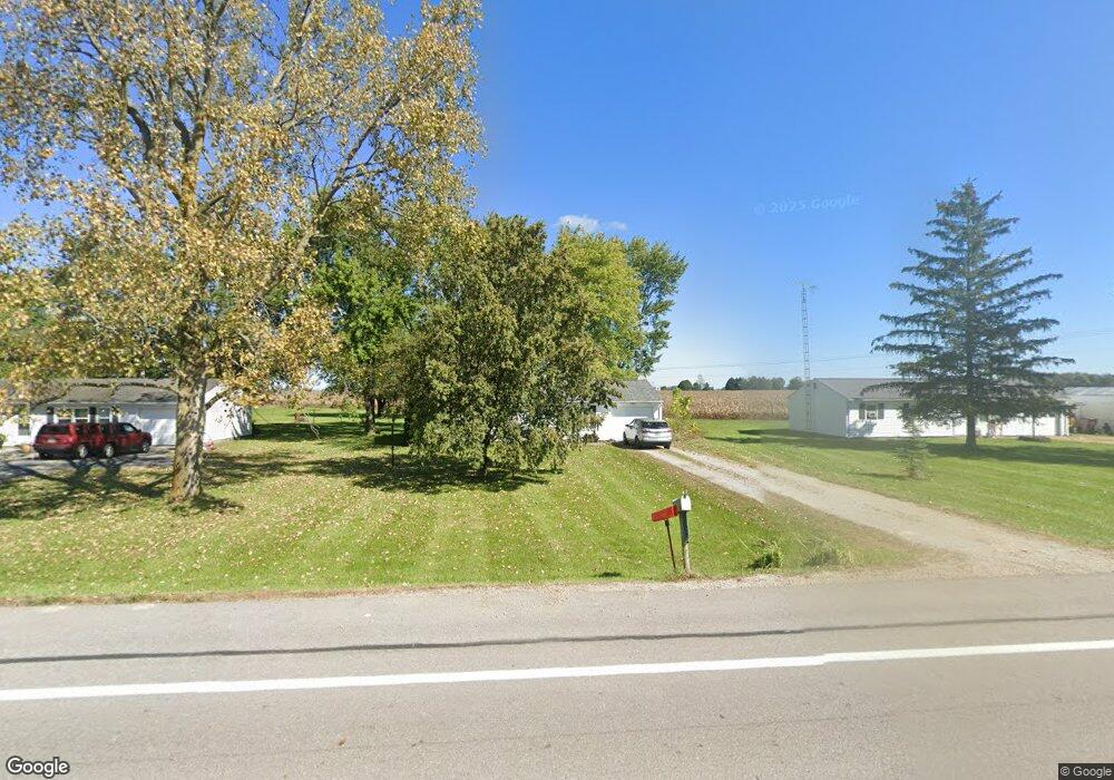
1975 State Route 503 Arcanum, OH 45304
Estimated Value: $115,000 - $157,000
2
Beds
1
Bath
960
Sq Ft
$146/Sq Ft
Est. Value
About This Home
This home is located at 1975 State Route 503, Arcanum, OH 45304 and is currently estimated at $139,932, approximately $145 per square foot. 1975 State Route 503 is a home located in Darke County with nearby schools including Arcanum Elementary School, Butler Middle School, and Arcanum High School.
Ownership History
Date
Name
Owned For
Owner Type
Purchase Details
Closed on
Mar 22, 2000
Sold by
Carey Wanda
Bought by
Ray Terry L and Ray Mary E
Current Estimated Value
Home Financials for this Owner
Home Financials are based on the most recent Mortgage that was taken out on this home.
Original Mortgage
$54,800
Outstanding Balance
$19,519
Interest Rate
9%
Mortgage Type
New Conventional
Estimated Equity
$120,413
Purchase Details
Closed on
Oct 8, 1991
Bought by
Ray Terry L and Ray Mary E
Purchase Details
Closed on
Jul 1, 1988
Bought by
Ray Terry L and Ray Mary E
Create a Home Valuation Report for This Property
The Home Valuation Report is an in-depth analysis detailing your home's value as well as a comparison with similar homes in the area
Home Values in the Area
Average Home Value in this Area
Purchase History
| Date | Buyer | Sale Price | Title Company |
|---|---|---|---|
| Ray Terry L | $64,500 | -- | |
| Ray Terry L | $46,500 | -- | |
| Ray Terry L | $34,900 | -- |
Source: Public Records
Mortgage History
| Date | Status | Borrower | Loan Amount |
|---|---|---|---|
| Open | Ray Terry L | $54,800 |
Source: Public Records
Tax History Compared to Growth
Tax History
| Year | Tax Paid | Tax Assessment Tax Assessment Total Assessment is a certain percentage of the fair market value that is determined by local assessors to be the total taxable value of land and additions on the property. | Land | Improvement |
|---|---|---|---|---|
| 2024 | $862 | $30,050 | $7,400 | $22,650 |
| 2023 | $737 | $30,050 | $7,400 | $22,650 |
| 2022 | $758 | $24,170 | $6,230 | $17,940 |
| 2021 | $763 | $24,170 | $6,230 | $17,940 |
| 2020 | $597 | $24,170 | $6,230 | $17,940 |
| 2019 | $648 | $22,250 | $6,230 | $16,020 |
| 2018 | $522 | $22,250 | $6,230 | $16,020 |
| 2017 | $545 | $22,250 | $6,230 | $16,020 |
| 2016 | $417 | $20,450 | $6,270 | $14,180 |
| 2015 | $417 | $20,450 | $6,270 | $14,180 |
| 2014 | $422 | $20,450 | $6,270 | $14,180 |
| 2013 | $478 | $21,190 | $6,270 | $14,920 |
Source: Public Records
Map
Nearby Homes
- 20 Wheatland Dr
- 21 Wheatland Dr
- 3 Harvest Dr
- 8 Harvest Dr
- 9 Harvest Dr
- 604 W North St
- 406 W South St
- Oh-722
- 6254 State Route 722
- 22 Greenmoor Dr
- 9 Seminole Ln
- 8 Meadowlawn Dr
- 6977 Alternate State Route 49
- 8 Parkdale Dr
- 246 N Main St
- 2 Edgewood Dr
- Alt St Rt 49 Alt State Route 49
- 693 Friday Rd
- 0 Ohio 722 Unit 10051560
- 0 Ohio 722 Unit 10 Acres 1040185
- 1981 State Route 503
- 1971 State Route 503
- 1987 State Route 503
- 1991 St Rt 503
- 1991 Ohio 503
- 1997 State Route 503
- 5571 Dull Rd
- 5563 Dull Rd
- 5553 Dull Rd
- 5545 Dull Rd
- 5515 Dull Rd
- 1854 Frazers Rd
- 5691 Dull Rd
- 2104 Ohio 503
- 2104 State Route 503
- 2164 State Route 503
- 5805 Dull Rd
- 5172 Hursch Rd
- 5067 Hursch Rd
- 1726 State Route 503