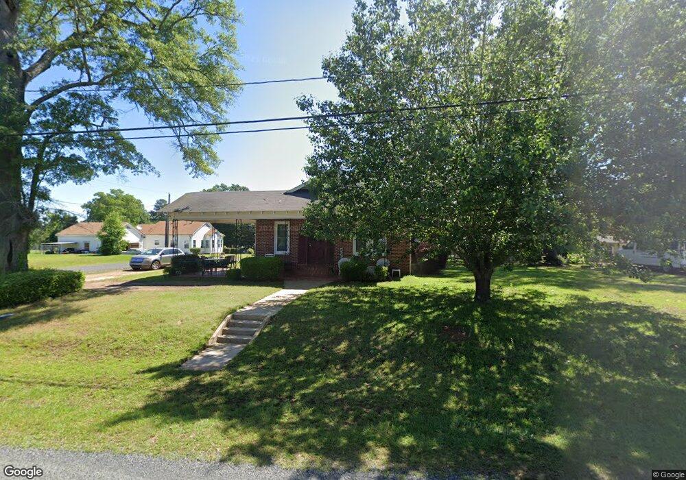
1976 Gibbs St Gibsland, LA 71028
Estimated Value: $69,000 - $147,000
3
Beds
2
Baths
2,714
Sq Ft
$41/Sq Ft
Est. Value
About This Home
This home is located at 1976 Gibbs St, Gibsland, LA 71028 and is currently estimated at $110,286, approximately $40 per square foot. 1976 Gibbs St is a home located in Bienville Parish with nearby schools including Gibsland-Coleman High School.
Create a Home Valuation Report for This Property
The Home Valuation Report is an in-depth analysis detailing your home's value as well as a comparison with similar homes in the area
Home Values in the Area
Average Home Value in this Area
Tax History Compared to Growth
Tax History
| Year | Tax Paid | Tax Assessment Tax Assessment Total Assessment is a certain percentage of the fair market value that is determined by local assessors to be the total taxable value of land and additions on the property. | Land | Improvement |
|---|---|---|---|---|
| 2024 | $63 | $7,040 | $175 | $6,865 |
| 2023 | $46 | $4,013 | $113 | $3,900 |
| 2022 | $501 | $4,013 | $113 | $3,900 |
| 2021 | $566 | $4,013 | $113 | $3,900 |
| 2020 | $534 | $4,013 | $113 | $3,900 |
| 2019 | $520 | $3,950 | $300 | $3,650 |
| 2018 | $518 | $3,950 | $300 | $3,650 |
| 2017 | $546 | $3,950 | $300 | $3,650 |
| 2016 | $381 | $2,760 | $220 | $2,540 |
| 2015 | $362 | $2,760 | $220 | $2,540 |
| 2014 | $301 | $0 | $0 | $0 |
| 2013 | $342 | $0 | $0 | $0 |
Source: Public Records
Map
Nearby Homes
- 1910 Main St
- 1432 Louisiana 795
- 12801 Highway 154
- Cato Rd
- 0 Oscar Kilpatrick Rd
- Penal Farm Road Lot Unit Wp001
- 2539 Corley St
- 780 Barnes Rd
- 15520 Highway 9
- 0 Rural Unit 21124258
- 2184 2nd St
- 1977 S Railroad Ave
- 1646 Sycamore St
- 2070 Hazel St
- 2114 Laurel St
- 3936 College St
- 0 Hazel St
- 0 Hazel St Unit 2530676
- 1618 Hazel St
- 279 Highway 805