1976 Highway 19 N Dahlonega, GA 30533
--
Bed
--
Bath
13,800
Sq Ft
4.38
Acres
About This Home
This home is located at 1976 Highway 19 N, Dahlonega, GA 30533. 1976 Highway 19 N is a home located in Lumpkin County with nearby schools including Clay County Middle School and Lumpkin County High School.
Ownership History
Date
Name
Owned For
Owner Type
Purchase Details
Closed on
Feb 7, 2025
Sold by
Dahlonega City
Bought by
Reynolds Alfred
Purchase Details
Closed on
Aug 27, 2024
Sold by
Wlw Investments Llc
Bought by
Dahlonega City
Purchase Details
Closed on
Jun 10, 2011
Sold by
Head Don L
Bought by
Head Donald L
Purchase Details
Closed on
Sep 10, 2008
Sold by
Walden Wyman
Bought by
Wlw Investments Llc
Purchase Details
Closed on
Aug 19, 2005
Sold by
Walden James Wyman
Bought by
Wlw Investments Llc
Purchase Details
Closed on
Jul 28, 1992
Sold by
C & W Ace Hardware
Bought by
C & W Ace Hardware
Purchase Details
Closed on
Sep 1, 1986
Sold by
Lunceford V C
Bought by
C & W Ace Hardware
Purchase Details
Closed on
Mar 1, 1968
Bought by
Lunceford V C
Create a Home Valuation Report for This Property
The Home Valuation Report is an in-depth analysis detailing your home's value as well as a comparison with similar homes in the area
Home Values in the Area
Average Home Value in this Area
Purchase History
| Date | Buyer | Sale Price | Title Company |
|---|---|---|---|
| Reynolds Alfred | $2,500 | -- | |
| Dahlonega City | $620,000 | -- | |
| Head Donald L | -- | -- | |
| Wlw Investments Llc | -- | -- | |
| Wlw Investments Llc | -- | -- | |
| C & W Ace Hardware | $125,000 | -- | |
| C & W Ace Hardware | -- | -- | |
| Lunceford V C | -- | -- |
Source: Public Records
Tax History Compared to Growth
Tax History
| Year | Tax Paid | Tax Assessment Tax Assessment Total Assessment is a certain percentage of the fair market value that is determined by local assessors to be the total taxable value of land and additions on the property. | Land | Improvement |
|---|---|---|---|---|
| 2024 | $7,722 | $271,787 | $262,800 | $8,987 |
| 2023 | $7,834 | $271,787 | $262,800 | $8,987 |
| 2022 | $8,303 | $271,787 | $262,800 | $8,987 |
| 2021 | $8,938 | $273,961 | $262,800 | $11,161 |
| 2020 | $9,285 | $273,961 | $262,800 | $11,161 |
| 2017 | $19,389 | $523,850 | $262,800 | $261,050 |
| 2016 | $19,818 | $523,850 | $262,800 | $261,050 |
| 2015 | $17,062 | $523,850 | $262,800 | $261,050 |
| 2014 | $17,062 | $527,149 | $262,800 | $264,349 |
| 2013 | -- | $530,614 | $262,800 | $267,814 |
Source: Public Records
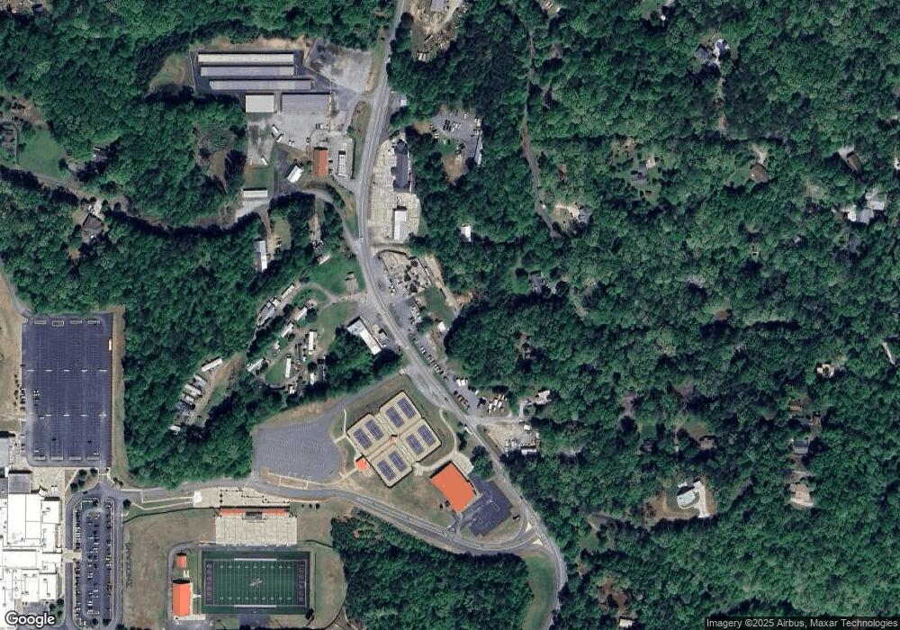
Map
Nearby Homes
- 0 Camp Wahsega Rd Unit 7600956
- 0 Camp Wahsega Rd Unit 10547292
- 181 Gilreath Way
- 357 Camp Wahsega Rd
- 77 Old River Rd
- 22 Deer Ridge Rd
- 149 Highland Rd S
- 97 Beaumont Dr
- 159 Misty Way
- 122 Tritt Rd
- 70 Avery Trail
- 65 Golden Autumn Dr
- LOT 6 Sky Country Rd
- 955 Camp Wahsega Rd
- 94 Mountain View Dr
- 1202 Oak Grove Rd
- 238 Grand View St
- 490 N Hall Rd
- 216 Hidden Valley Trail N Unit A & B
- 216 Hidden Valley Trail N
- 268 Hidden Valley Trail N
- 1959 Highway 19 N
- 29 Clyde Barrett Rd
- 15 Owl Ct
- 0 Camp Glisson Rd Unit 8146963
- 0 Camp Glisson Rd Unit 7342878
- 10 Owl Ct
- 1 Clyde Barrett Rd Unit B
- 1BAC Clyde Barrett Rd
- 1A1AC Clyde Barrett Rd
- 2030 Highway 19 N
- 0 Clyde Barrett Rd Unit 7498012
- 0 Clyde Barrett Rd Unit 7212714
- 0 Clyde Barrett Rd Unit 8002888
- 35 Clyde Barrett Rd
- 1882 Highway 19 N
- 330 Hidden Valley Trail N
- 2068 Highway 19 N