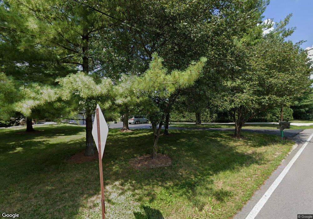
1976 Klondike Rd Delaware, OH 43015
Estimated Value: $271,000 - $435,000
3
Beds
3
Baths
1,344
Sq Ft
$275/Sq Ft
Est. Value
About This Home
This home is located at 1976 Klondike Rd, Delaware, OH 43015 and is currently estimated at $369,240, approximately $274 per square foot. 1976 Klondike Rd is a home located in Delaware County with nearby schools including Buckeye Valley High School, Grace Community School, and Grace Community Elementary School.
Ownership History
Date
Name
Owned For
Owner Type
Purchase Details
Closed on
Nov 16, 1999
Sold by
Est Francis E Richmond
Bought by
J O A T/M O N Inc
Current Estimated Value
Home Financials for this Owner
Home Financials are based on the most recent Mortgage that was taken out on this home.
Original Mortgage
$67,500
Outstanding Balance
$21,001
Interest Rate
8%
Mortgage Type
New Conventional
Estimated Equity
$348,239
Create a Home Valuation Report for This Property
The Home Valuation Report is an in-depth analysis detailing your home's value as well as a comparison with similar homes in the area
Home Values in the Area
Average Home Value in this Area
Purchase History
| Date | Buyer | Sale Price | Title Company |
|---|---|---|---|
| J O A T/M O N Inc | $90,000 | -- |
Source: Public Records
Mortgage History
| Date | Status | Borrower | Loan Amount |
|---|---|---|---|
| Open | J O A T/M O N Inc | $67,500 |
Source: Public Records
Tax History Compared to Growth
Tax History
| Year | Tax Paid | Tax Assessment Tax Assessment Total Assessment is a certain percentage of the fair market value that is determined by local assessors to be the total taxable value of land and additions on the property. | Land | Improvement |
|---|---|---|---|---|
| 2024 | $2,461 | $90,930 | $42,770 | $48,160 |
| 2023 | $2,461 | $90,930 | $42,770 | $48,160 |
| 2022 | $2,204 | $80,120 | $39,660 | $40,460 |
| 2021 | $2,149 | $80,120 | $39,660 | $40,460 |
| 2020 | $2,162 | $80,120 | $39,660 | $40,460 |
| 2019 | $1,890 | $61,880 | $30,030 | $31,850 |
| 2018 | $1,924 | $61,880 | $30,030 | $31,850 |
| 2017 | $1,821 | $56,880 | $25,100 | $31,780 |
| 2016 | $1,767 | $56,880 | $25,100 | $31,780 |
| 2015 | $1,864 | $56,880 | $25,100 | $31,780 |
| 2014 | $1,755 | $56,880 | $25,100 | $31,780 |
| 2013 | $1,740 | $56,880 | $25,100 | $31,780 |
Source: Public Records
Map
Nearby Homes
- 5778 Robin Hood Ln
- 1131 Ohio 257
- 1723 S Section Line Rd
- Crisfield Plan at Limestone Ridge
- Aspire Plan at Limestone Ridge
- Oakdale Plan at Limestone Ridge
- Fairview Plan at Limestone Ridge
- Hampton Plan at Limestone Ridge
- Mitchell Plan at Limestone Ridge
- 412 Penwell Dr Unit Lot 13862
- 430 Penwell Dr Unit Lot 13859
- 490 Penwell Dr Unit Lot 13901
- 502 Penwell Dr Unit Lot 13900
- 165 Schellinger St
- 526 Penwell Dr Unit Lot 13896
- 687 Penwell Dr
- 0 S Houk Rd
- 203 Springer Woods Blvd
- 268 Aaron Dr
- 173 Simon St Unit 95
- 2000 Klondike Rd
- 1961 Warren Rd
- 1959 Klondike Rd
- 2022 Klondike Rd
- 2027 Klondike Rd
- 1939 Warren Rd
- 1940 Warren Rd
- 2058 Klondike Rd
- 4766 Marysville Rd
- 4820 Marysville Rd
- 1901 Warren Rd
- 4719 Marysville Rd
- 4750 Marysville Rd
- 2086 Klondike Rd
- 2070 Klondike Rd
- 2083 Klondike Rd
- 1890 Warren Rd
- 1835 Warren Rd
- 4651 Marysville Rd
- 4710 Marysville Rd
