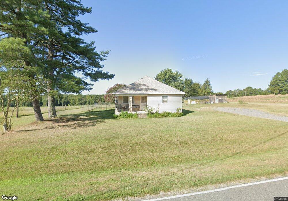
1976 Leonhardt Rd Cherryville, NC 28021
Estimated Value: $144,000 - $192,684
3
Beds
1
Bath
1,120
Sq Ft
$152/Sq Ft
Est. Value
About This Home
This home is located at 1976 Leonhardt Rd, Cherryville, NC 28021 and is currently estimated at $169,921, approximately $151 per square foot. 1976 Leonhardt Rd is a home located in Lincoln County with nearby schools including North Brook Elementary School, West Lincoln Middle, and West Lincoln High School.
Ownership History
Date
Name
Owned For
Owner Type
Purchase Details
Closed on
Jun 6, 2017
Sold by
Thomas W Baxter
Bought by
Brown David and Brown Carlene
Current Estimated Value
Home Financials for this Owner
Home Financials are based on the most recent Mortgage that was taken out on this home.
Original Mortgage
$63,000
Outstanding Balance
$52,288
Interest Rate
3.94%
Estimated Equity
$117,633
Purchase Details
Closed on
Oct 31, 2005
Sold by
Randall Glenard W and Randall Margaret
Bought by
Brown David K and Brown Carlene D
Home Financials for this Owner
Home Financials are based on the most recent Mortgage that was taken out on this home.
Original Mortgage
$50,000
Interest Rate
5.76%
Mortgage Type
New Conventional
Create a Home Valuation Report for This Property
The Home Valuation Report is an in-depth analysis detailing your home's value as well as a comparison with similar homes in the area
Home Values in the Area
Average Home Value in this Area
Purchase History
| Date | Buyer | Sale Price | Title Company |
|---|---|---|---|
| Brown David | -- | -- | |
| Brown David K | $50,000 | None Available |
Source: Public Records
Mortgage History
| Date | Status | Borrower | Loan Amount |
|---|---|---|---|
| Open | Brown David | $63,000 | |
| Closed | Brown David | -- | |
| Previous Owner | Brown David K | $50,000 |
Source: Public Records
Tax History Compared to Growth
Tax History
| Year | Tax Paid | Tax Assessment Tax Assessment Total Assessment is a certain percentage of the fair market value that is determined by local assessors to be the total taxable value of land and additions on the property. | Land | Improvement |
|---|---|---|---|---|
| 2025 | $953 | $136,915 | $30,561 | $106,354 |
| 2024 | $933 | $136,915 | $30,561 | $106,354 |
| 2023 | $928 | $136,915 | $30,561 | $106,354 |
| 2022 | $685 | $79,208 | $21,351 | $57,857 |
| 2021 | $685 | $79,208 | $21,351 | $57,857 |
| 2020 | $554 | $79,208 | $21,351 | $57,857 |
| 2019 | $554 | $79,208 | $21,351 | $57,857 |
| 2018 | $574 | $66,507 | $19,843 | $46,664 |
| 2017 | $574 | $46,664 | $0 | $46,664 |
| 2016 | $473 | $66,485 | $19,821 | $46,664 |
| 2015 | $549 | $66,485 | $19,821 | $46,664 |
| 2014 | $534 | $68,529 | $21,865 | $46,664 |
Source: Public Records
Map
Nearby Homes
- 6203 Flay Rd
- 5790 Summer Ln
- 2449 Leonhardt Rd
- 00 Hill Gates Trail Unit 32
- 00 Hill Gates Trail Unit 33
- 00 Hill Gates Trail Unit 37
- 00 Hill Gates Trail Unit 38
- 00 Hill Gates Trail Unit 31
- 00 Star Ln Unit 1
- 6316 Hill Gates Trail
- 5199 Helms End of Trail
- 2491 Highway 274
- 5118 Flay Rd
- 00 N Carolina 182
- 4850 Gideon Dr
- 4832 Gideon Dr
- 00 Flay Rd
- 00 McCurry Farm Ln Unit F1 & F2
- 7430 Houser Farm Rd
- 508 Shoal Rd