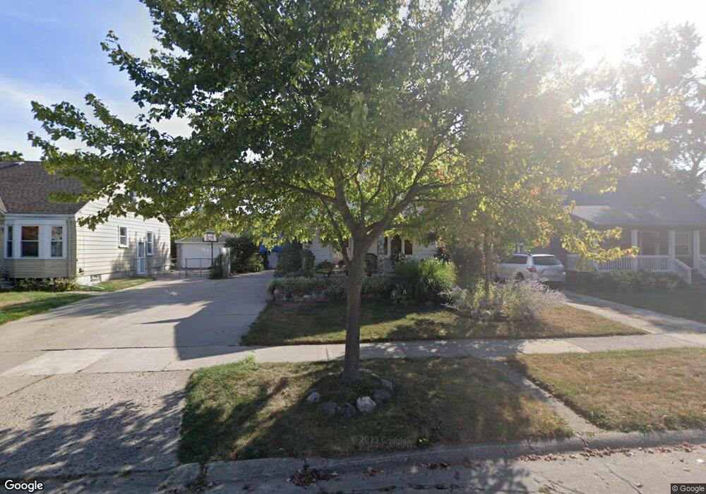
1976 Royal Ave Berkley, MI 48072
Estimated Value: $282,385 - $351,000
3
Beds
1
Bath
1,042
Sq Ft
$316/Sq Ft
Est. Value
About This Home
This home is located at 1976 Royal Ave, Berkley, MI 48072 and is currently estimated at $328,846, approximately $315 per square foot. 1976 Royal Ave is a home located in Oakland County with nearby schools including Angell Elementary School, Anderson Middle School, and Berkley High School.
Ownership History
Date
Name
Owned For
Owner Type
Purchase Details
Closed on
Oct 20, 1995
Sold by
Slaght Mary L
Bought by
Morrissey Sean P
Current Estimated Value
Home Financials for this Owner
Home Financials are based on the most recent Mortgage that was taken out on this home.
Original Mortgage
$83,700
Interest Rate
7.65%
Create a Home Valuation Report for This Property
The Home Valuation Report is an in-depth analysis detailing your home's value as well as a comparison with similar homes in the area
Home Values in the Area
Average Home Value in this Area
Purchase History
| Date | Buyer | Sale Price | Title Company |
|---|---|---|---|
| Morrissey Sean P | $93,000 | -- |
Source: Public Records
Mortgage History
| Date | Status | Borrower | Loan Amount |
|---|---|---|---|
| Closed | Morrissey Sean P | $83,700 |
Source: Public Records
Tax History
| Year | Tax Paid | Tax Assessment Tax Assessment Total Assessment is a certain percentage of the fair market value that is determined by local assessors to be the total taxable value of land and additions on the property. | Land | Improvement |
|---|---|---|---|---|
| 2025 | $2,911 | $132,390 | $0 | $0 |
| 2024 | $2,761 | $122,790 | $0 | $0 |
| 2023 | $2,489 | $111,890 | $0 | $0 |
| 2022 | $2,487 | $102,820 | $0 | $0 |
| 2021 | $2,432 | $97,350 | $0 | $0 |
| 2020 | $2,326 | $91,640 | $0 | $0 |
| 2019 | $2,443 | $86,890 | $0 | $0 |
| 2018 | $2,336 | $82,450 | $0 | $0 |
| 2017 | $2,306 | $78,750 | $0 | $0 |
| 2016 | $2,328 | $73,790 | $0 | $0 |
| 2015 | -- | $67,570 | $0 | $0 |
| 2014 | -- | $61,050 | $0 | $0 |
| 2011 | -- | $57,700 | $0 | $0 |
Source: Public Records
Map
Nearby Homes
- 1799 Phillips Ave
- 1888 Griffith Ave
- 14421 Labelle St
- 2893 Harvard Rd
- 2076 Thomas Ave
- 2266 Robina Ave
- 2863 Columbia Rd
- 1975 Kipling Ave
- 14670 Talbot St
- 2654 Royal Ave
- 2683 Harvard Rd
- 14710 Loretta Place
- 3050 Catalpa Dr
- 2679 Oxford Rd
- 26040 Marlowe Place
- 2795 Robina Ave
- 13680 Borgman St
- 26010 Marlowe Place
- 2828 Robina Ave
- 2438 Columbia Rd
- 1960 Royal Ave
- 1992 Royal Ave
- 1944 Royal Ave
- 1975 Buckingham Ave
- 1951 Buckingham Ave
- 1991 Buckingham Ave Unit Bldg-Unit
- 1928 Royal Ave
- 1943 Buckingham Ave
- 2012 Royal Ave
- 1927 Buckingham Ave
- 1912 Royal Ave
- 2011 Buckingham Ave
- 2028 Royal Ave
- 1975 Royal Ave
- 2011 Royal Ave
- 1943 Royal Ave
- 1991 Royal Ave
- 1911 Buckingham Ave
- 1882 Royal Ave
- 2027 Royal Ave
Your Personal Tour Guide
Ask me questions while you tour the home.