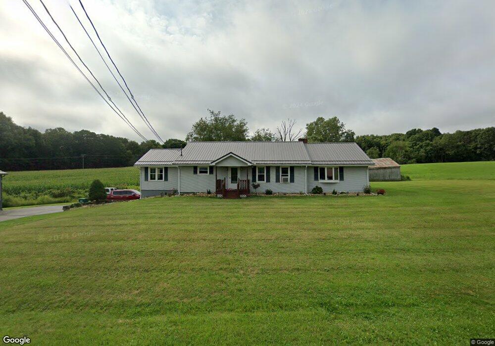
19763 Highway 285 Cochranton, PA 16314
Estimated Value: $211,000 - $260,000
--
Bed
--
Bath
--
Sq Ft
1
Acres
About This Home
This home is located at 19763 Highway 285, Cochranton, PA 16314 and is currently estimated at $230,729. 19763 Highway 285 is a home located in Crawford County with nearby schools including Cochranton Elementary School and Cochranton Junior/Senior High School.
Ownership History
Date
Name
Owned For
Owner Type
Purchase Details
Closed on
May 16, 2019
Sold by
Crosley Louise W
Bought by
Foulk Robert A
Current Estimated Value
Home Financials for this Owner
Home Financials are based on the most recent Mortgage that was taken out on this home.
Original Mortgage
$128,250
Outstanding Balance
$112,758
Interest Rate
4.2%
Mortgage Type
New Conventional
Estimated Equity
$117,971
Purchase Details
Closed on
Sep 2, 2015
Sold by
Webb Timothy and Webb Timothy L
Bought by
Grosley Louise W
Create a Home Valuation Report for This Property
The Home Valuation Report is an in-depth analysis detailing your home's value as well as a comparison with similar homes in the area
Home Values in the Area
Average Home Value in this Area
Purchase History
| Date | Buyer | Sale Price | Title Company |
|---|---|---|---|
| Foulk Robert A | $135,000 | Realty Settlement Inc | |
| Grosley Louise W | $69,143 | None Available |
Source: Public Records
Mortgage History
| Date | Status | Borrower | Loan Amount |
|---|---|---|---|
| Open | Foulk Robert A | $128,250 |
Source: Public Records
Tax History Compared to Growth
Tax History
| Year | Tax Paid | Tax Assessment Tax Assessment Total Assessment is a certain percentage of the fair market value that is determined by local assessors to be the total taxable value of land and additions on the property. | Land | Improvement |
|---|---|---|---|---|
| 2025 | $977 | $40,500 | $1,350 | $39,150 |
| 2024 | $1,503 | $40,500 | $1,350 | $39,150 |
| 2023 | $1,503 | $40,500 | $1,350 | $39,150 |
| 2022 | $3,163 | $40,500 | $1,350 | $39,150 |
| 2021 | $3,087 | $40,500 | $1,350 | $39,150 |
| 2020 | $3,087 | $40,500 | $1,350 | $39,150 |
| 2019 | $3,087 | $40,500 | $1,350 | $39,150 |
| 2018 | $2,935 | $40,500 | $1,350 | $39,150 |
| 2017 | $2,903 | $40,500 | $1,350 | $39,150 |
| 2016 | $855 | $40,500 | $1,350 | $39,150 |
| 2015 | $855 | $40,500 | $1,350 | $39,150 |
| 2014 | -- | $40,500 | $1,350 | $39,150 |
Source: Public Records
Map
Nearby Homes
- 2681 Mallory Rd
- 19168 Mule St
- 21412 Shick Dr
- 6528 Mccracken Rd
- 2925 U S 19
- 23078 Mallard Ln
- 7691 Mercer Pike
- 7013 Hawk Dr
- 840 Sunol Rd
- 0 Donation Hill Rd Unit 24033249
- 4 Acres Mattocks Rd
- 2 Acres Mattocks Rd
- 23755 State Highway 285
- 16070 Pennsylvania 285
- 119 W Pine St
- 214 Deer Creek Rd
- 179 S Franklin St
- 42 Sunol Rd
- 606 Georgetown Rd
- 21427 Phelps Rd
- 19763 Pennsylvania 285
- 19763 St Hwy 285
- 19646 Highway 285
- 19657 State Highway 285
- 20312 Pennsylvania 285
- 19594 Adamsville Rd
- 4242 Mallory Rd
- 19568 Highway 285
- 19528 Highway 285
- 19519 Adamsville Rd
- 20009 State Highway 285
- 20009 Pennsylvania 285
- 20009 Highway 285
- 19486 Adamsville Rd
- 19976 State Highway 285
- 19469 State Highway 285
- 20061 Highway 285
- 3949 Mallory Rd
- 19401 Highway 285
- 19415 Adamsville Rd