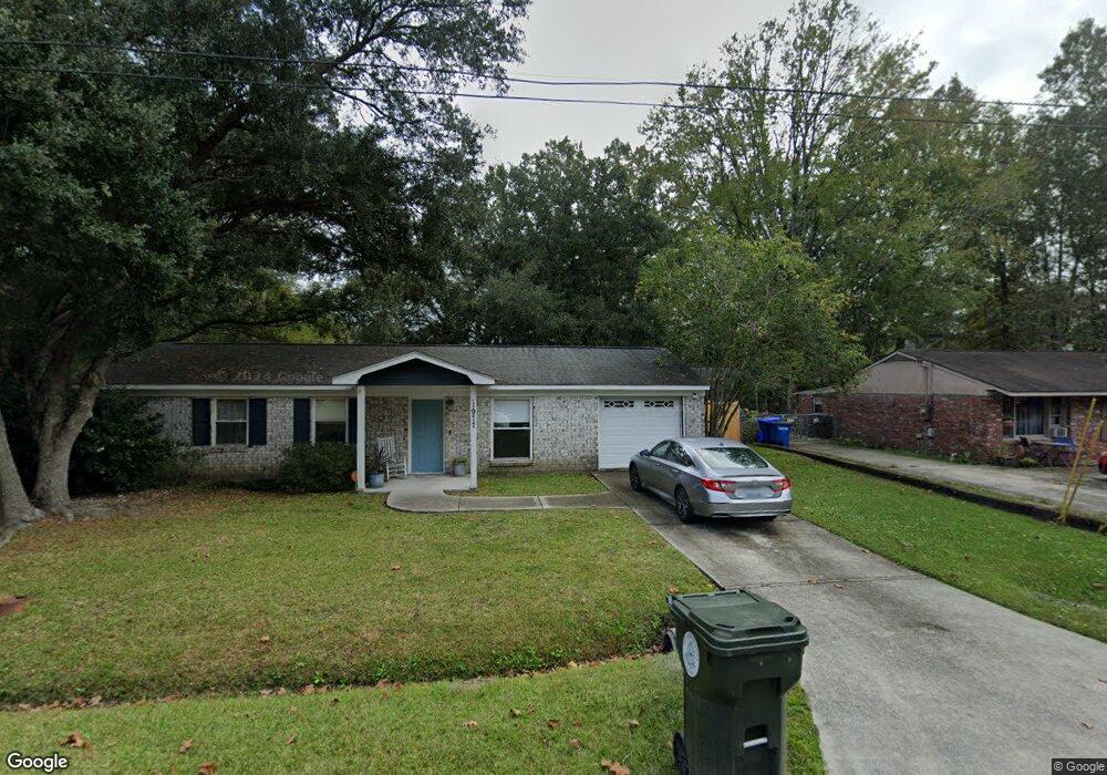
1977 Butternut St Charleston, SC 29414
Estimated Value: $282,000 - $378,000
3
Beds
1
Bath
1,008
Sq Ft
$333/Sq Ft
Est. Value
About This Home
This home is located at 1977 Butternut St, Charleston, SC 29414 and is currently estimated at $335,937, approximately $333 per square foot. 1977 Butternut St is a home located in Charleston County with nearby schools including Springfield Elementary School, West Ashley High School, and Addlestone Hebrew Academy.
Ownership History
Date
Name
Owned For
Owner Type
Purchase Details
Closed on
Feb 25, 2008
Sold by
Kenney Patrick Ryan
Bought by
Reeder Robin L
Current Estimated Value
Home Financials for this Owner
Home Financials are based on the most recent Mortgage that was taken out on this home.
Original Mortgage
$162,450
Outstanding Balance
$100,714
Interest Rate
5.65%
Mortgage Type
FHA
Estimated Equity
$235,223
Purchase Details
Closed on
Nov 30, 2006
Sold by
Reed Daisy M
Bought by
Kenney Patrick Ryan
Create a Home Valuation Report for This Property
The Home Valuation Report is an in-depth analysis detailing your home's value as well as a comparison with similar homes in the area
Home Values in the Area
Average Home Value in this Area
Purchase History
| Date | Buyer | Sale Price | Title Company |
|---|---|---|---|
| Reeder Robin L | $165,000 | Attorney | |
| Kenney Patrick Ryan | $100,000 | None Available |
Source: Public Records
Mortgage History
| Date | Status | Borrower | Loan Amount |
|---|---|---|---|
| Open | Reeder Robin L | $162,450 |
Source: Public Records
Tax History Compared to Growth
Tax History
| Year | Tax Paid | Tax Assessment Tax Assessment Total Assessment is a certain percentage of the fair market value that is determined by local assessors to be the total taxable value of land and additions on the property. | Land | Improvement |
|---|---|---|---|---|
| 2024 | $778 | $5,090 | $0 | $0 |
| 2023 | $778 | $5,090 | $0 | $0 |
| 2022 | $695 | $5,090 | $0 | $0 |
| 2021 | $726 | $5,090 | $0 | $0 |
| 2020 | $750 | $5,090 | $0 | $0 |
| 2019 | $676 | $4,430 | $0 | $0 |
| 2017 | $655 | $4,430 | $0 | $0 |
| 2016 | $630 | $4,430 | $0 | $0 |
| 2015 | $649 | $4,430 | $0 | $0 |
| 2014 | $828 | $0 | $0 | $0 |
| 2011 | -- | $0 | $0 | $0 |
Source: Public Records
Map
Nearby Homes
- 2165 Ashley Cooper Ln
- 1904 Treebark Dr
- 2045 Maybelles Ln
- 2120 Ashley Cooper Ln
- 2025 Maybelles Ln
- 2131 Forest Lakes Blvd
- 1854 Oleander Ct
- 1891 Beechwood Rd
- 1885 Woodland Rd
- 1922 Cedar Petal Ln
- 1784 Banbury Rd
- 406 Gravy Train St
- 211 Cache Ct
- 107 Aplomb Alley
- 2106 Mission Ave
- 1902 Old Parsonage Rd
- 1723 S Nicole Place
- 2136 Military Way
- 1978 Planters Dr
- 1647 Sulgrave Rd
- 1973 Butternut St
- 1981 Butternut St
- 1984 Dogwood Rd
- 1980 Dogwood Rd
- 1988 Dogwood Rd
- 1978 Butternut St
- 1985 Butternut St
- 1969 Butternut St
- 1982 Butternut St
- 1974 Butternut St
- 1992 Dogwood Rd
- 1909 Dogwood Rd
- 1986 Butternut St
- 1919 Sunnyvale Ave
- 1989 Butternut St
- 1966 Treebark Dr
- 1996 Dogwood Rd
- 1981 Beechnut St
- 1968 Treebark Dr
- 1964 Treebark Dr