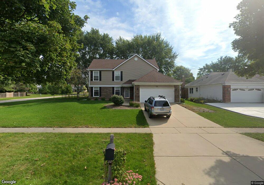
1977 Dorset Dr Unit 7 Wheaton, IL 60189
Stonehedge NeighborhoodEstimated Value: $739,000 - $817,000
4
Beds
3
Baths
2,572
Sq Ft
$299/Sq Ft
Est. Value
About This Home
This home is located at 1977 Dorset Dr Unit 7, Wheaton, IL 60189 and is currently estimated at $768,019, approximately $298 per square foot. 1977 Dorset Dr Unit 7 is a home located in DuPage County with nearby schools including Whittier Elementary School, Edison Middle School, and Wheaton Warrenville South High School.
Ownership History
Date
Name
Owned For
Owner Type
Purchase Details
Closed on
Sep 7, 2011
Sold by
Gilroy James F and Gilroy Maryann J
Bought by
Pagni Daniel E and Pagni Tara E
Current Estimated Value
Home Financials for this Owner
Home Financials are based on the most recent Mortgage that was taken out on this home.
Original Mortgage
$252,000
Outstanding Balance
$172,238
Interest Rate
4.22%
Mortgage Type
New Conventional
Estimated Equity
$595,781
Create a Home Valuation Report for This Property
The Home Valuation Report is an in-depth analysis detailing your home's value as well as a comparison with similar homes in the area
Home Values in the Area
Average Home Value in this Area
Purchase History
| Date | Buyer | Sale Price | Title Company |
|---|---|---|---|
| Pagni Daniel E | $378,000 | Baird & Warner Title Service |
Source: Public Records
Mortgage History
| Date | Status | Borrower | Loan Amount |
|---|---|---|---|
| Open | Pagni Daniel E | $252,000 |
Source: Public Records
Tax History Compared to Growth
Tax History
| Year | Tax Paid | Tax Assessment Tax Assessment Total Assessment is a certain percentage of the fair market value that is determined by local assessors to be the total taxable value of land and additions on the property. | Land | Improvement |
|---|---|---|---|---|
| 2024 | $12,847 | $207,329 | $51,778 | $155,551 |
| 2023 | $12,074 | $190,840 | $47,660 | $143,180 |
| 2022 | $11,786 | $180,360 | $45,040 | $135,320 |
| 2021 | $11,749 | $176,080 | $43,970 | $132,110 |
| 2020 | $11,713 | $174,440 | $43,560 | $130,880 |
| 2019 | $11,448 | $165,910 | $42,410 | $123,500 |
| 2018 | $11,817 | $169,150 | $39,960 | $129,190 |
| 2017 | $11,645 | $162,910 | $38,490 | $124,420 |
| 2016 | $11,496 | $156,400 | $36,950 | $119,450 |
| 2015 | $11,414 | $149,210 | $35,250 | $113,960 |
| 2014 | $9,246 | $120,030 | $34,730 | $85,300 |
| 2013 | $9,008 | $120,390 | $34,830 | $85,560 |
Source: Public Records
Map
Nearby Homes
- 44 Marywood Trail
- 212 Hamilton Ln
- 141 Loretto Ct
- 26W281 Menomini Dr
- 25W451 Plamondon Rd
- 1645 Burning Trail Ct
- 51 Mitchell Cir
- 1601 W Wiesbrook Rd
- 2412 W Lucent Ln
- 1562 Burning Trail
- 1771 Lucky Debonair Ct
- 821 Plamondon Rd
- 1473 Creekside Dr
- 1028 Lodalia Ct
- 1S550 Hawthorne Ln
- 187 E Thompson Dr
- 1477 S County Farm Rd Unit 23F
- 2230 Weatherbee Ln
- 1219 Golf Ln
- 1440 Stonebridge Cir Unit J10
- 1985 Dorset Dr
- 1312 Colonial Square
- 1969 Dorset Dr
- 1976 Berkshire Place
- 1993 Dorset Dr
- 1378 Colonial Square
- 1307 Colonial Square
- 1984 Dorset Dr Unit 7
- 1961 Dorset Dr
- 2001 Dorset Dr
- 1968 Dorset Dr
- 1992 Dorset Dr
- 1946 Berkshire Place
- 2002 Berkshire Place
- 1960 Dorset Dr
- 1953 Dorset Dr
- 2000 Dorset Dr
- 2007 Dorset Dr
- 1971 Berkshire Place
- 1963 Berkshire Place