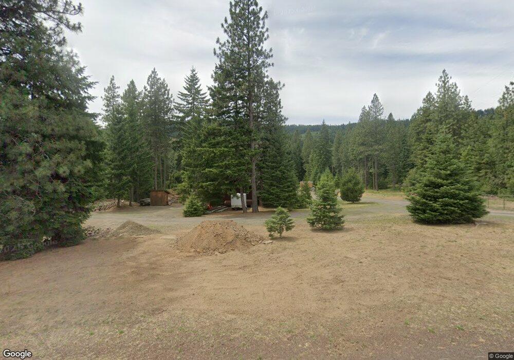
1977 Highway 141 Trout Lake, WA 98650
Estimated Value: $815,000 - $1,174,000
3
Beds
2
Baths
2,166
Sq Ft
$425/Sq Ft
Est. Value
About This Home
This home is located at 1977 Highway 141, Trout Lake, WA 98650 and is currently estimated at $921,139, approximately $425 per square foot. 1977 Highway 141 is a home located in Klickitat County with nearby schools including Trout Lake Elementary School and Trout Lake High School.
Ownership History
Date
Name
Owned For
Owner Type
Purchase Details
Closed on
Aug 15, 2017
Sold by
Schmid Sarah and Schmid Jeremy
Bought by
Macioroski Jason E and Macioroski Bobbi J
Current Estimated Value
Home Financials for this Owner
Home Financials are based on the most recent Mortgage that was taken out on this home.
Original Mortgage
$406,000
Outstanding Balance
$338,042
Interest Rate
3.88%
Mortgage Type
New Conventional
Estimated Equity
$583,097
Purchase Details
Closed on
Aug 22, 2012
Sold by
Tipton Sarah Beth
Bought by
Tipton Sarah and Schmid Jeremy
Purchase Details
Closed on
Sep 7, 2011
Sold by
Tipton David L and Tipton Darley S
Bought by
Tipton Sarah Beth
Create a Home Valuation Report for This Property
The Home Valuation Report is an in-depth analysis detailing your home's value as well as a comparison with similar homes in the area
Home Values in the Area
Average Home Value in this Area
Purchase History
| Date | Buyer | Sale Price | Title Company |
|---|---|---|---|
| Macioroski Jason E | $499,934 | None Available | |
| Tipton Sarah | -- | Columbia Title Agency | |
| Tipton Sarah Beth | -- | Amerititle |
Source: Public Records
Mortgage History
| Date | Status | Borrower | Loan Amount |
|---|---|---|---|
| Open | Macioroski Jason E | $406,000 |
Source: Public Records
Tax History Compared to Growth
Tax History
| Year | Tax Paid | Tax Assessment Tax Assessment Total Assessment is a certain percentage of the fair market value that is determined by local assessors to be the total taxable value of land and additions on the property. | Land | Improvement |
|---|---|---|---|---|
| 2025 | $5,724 | $690,350 | $184,050 | $506,300 |
| 2023 | $5,724 | $618,400 | $196,200 | $422,200 |
| 2022 | $4,147 | $418,900 | $156,200 | $262,700 |
| 2021 | $3,622 | $423,850 | $160,250 | $263,600 |
| 2020 | $3,622 | $391,590 | $127,990 | $263,600 |
| 2018 | $3,124 | $398,990 | $127,990 | $271,000 |
| 2017 | $2,799 | $310,740 | $103,940 | $206,800 |
| 2016 | $2,803 | $302,190 | $95,390 | $206,800 |
| 2015 | $988 | $300,190 | $93,390 | $206,800 |
| 2013 | $988 | $261,720 | $102,520 | $159,200 |
Source: Public Records
Map
Nearby Homes
- 26 Mountain View Ln
- 146 Stadelman Dr
- 230 Jennings Rd
- 248 Jennings Rd
- 60 Jennings Rd
- 10 Emma Ln
- 267 86th Rd
- 0 Trout Lake Park Rd Unit 2
- 23 Trout Lake Park Rd
- 18 Greenwood Rd
- 0 Bz Glenwood Hwy Unit 2 24488599
- 4 Conboy Heights Unit 4
- 0 Oak Ridge Rd
- 0 Bear Spring Rd Unit 23407652
- 971 Highway 141
- 0 Concorde Ln Unit Lot 2 23149391
- 1684 Bz Glenwood Hwy
- 1782 Bz Glenwood Hwy
- 308 Main St
- 0 Main St Unit 546234167
- 1977 Highway 141
- 1981 Highway 141
- 1980 Hwy 141
- 1980 Highway 141
- 1980 Highway 141
- 1980 Highway 141
- 1987 Hwy 141
- 1987 Highway 141
- 1987 Highway 141
- 1987 Highway 141
- 1987 Highway 141
- 1987 Washington 141
- 1990 Highway 141
- 1953 Highway 141
- 1989 Highway 141
- 1994 Hwy 141
- 1994 Highway 141
- 1994 Highway 141
- 1994 Highway 141
- 1996 Highway 141