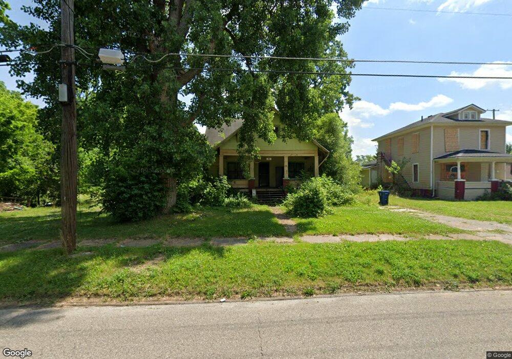
1977 Howard Ave Flint, MI 48503
South Parks NeighborhoodEstimated Value: $104,000 - $151,000
5
Beds
1
Bath
2,194
Sq Ft
$56/Sq Ft
Est. Value
About This Home
This home is located at 1977 Howard Ave, Flint, MI 48503 and is currently estimated at $121,936, approximately $55 per square foot. 1977 Howard Ave is a home located in Genesee County with nearby schools including Freeman Elementary School, Flint Southwestern Classical Academy, and International Academy of Flint (K-12).
Ownership History
Date
Name
Owned For
Owner Type
Purchase Details
Closed on
Mar 7, 2019
Sold by
Genesee County Land Bank Authority
Bought by
Buggs Jeremiah
Current Estimated Value
Purchase Details
Closed on
Jul 12, 2013
Sold by
Streby John A
Bought by
Taylotr Roy A
Create a Home Valuation Report for This Property
The Home Valuation Report is an in-depth analysis detailing your home's value as well as a comparison with similar homes in the area
Home Values in the Area
Average Home Value in this Area
Purchase History
| Date | Buyer | Sale Price | Title Company |
|---|---|---|---|
| Buggs Jeremiah | $12,000 | None Available | |
| Taylotr Roy A | -- | None Available |
Source: Public Records
Mortgage History
| Date | Status | Borrower | Loan Amount |
|---|---|---|---|
| Closed | Buggs Jeremiah | $0 |
Source: Public Records
Tax History Compared to Growth
Tax History
| Year | Tax Paid | Tax Assessment Tax Assessment Total Assessment is a certain percentage of the fair market value that is determined by local assessors to be the total taxable value of land and additions on the property. | Land | Improvement |
|---|---|---|---|---|
| 2025 | $2,023 | $39,700 | $0 | $0 |
| 2024 | $1,854 | $34,100 | $0 | $0 |
| 2023 | $1,796 | $28,800 | $0 | $0 |
| 2022 | $0 | $24,800 | $0 | $0 |
| 2021 | $1,831 | $22,500 | $0 | $0 |
| 2020 | $1,664 | $21,300 | $0 | $0 |
| 2019 | $648 | $0 | $0 | $0 |
| 2018 | $221 | $0 | $0 | $0 |
| 2017 | $3,388 | $0 | $0 | $0 |
| 2016 | $648 | $0 | $0 | $0 |
| 2015 | -- | $0 | $0 | $0 |
| 2014 | -- | $0 | $0 | $0 |
| 2012 | -- | $11,400 | $0 | $0 |
Source: Public Records
Map
Nearby Homes
- 1110 Pingree Ave
- 2029 Aitken Ave
- 2010 Crocker Ave
- 1601 Wayne St
- 2121 Dwight Ave
- 2050 Ferris Ave
- 2221 Howard Ave
- 2224 Crocker Ave
- 420 Pingree Ave
- 1628 Broad Ct
- 1917 Whittlesey St
- 1937 Chelan St
- 1840 Mcphail St
- 1510 S Franklin Ave
- 1409 S Franklin Ave
- 930 Belmont Ave
- 9211 Owen St
- 2618 Pinetree Dr
- 841 E 8th St
- 133 E Oakley St
- 1101 Pingree Ave
- 1971 Howard Ave
- 1019 Pingree Ave
- 1015 Pingree Ave
- 1109 Pingree Ave
- 1989 Howard Ave
- 1117 Pingree Ave
- 2000 Aitken Ave
- 1114 Pingree Ave
- 2006 Aitken Ave
- 2001 Howard Ave
- 2005 Aitken Ave
- 1118 Pingree Ave
- 2006 Winans Ave
- 2005 Howard Ave
- 2010 Aitken Ave
- 2009 Aitken Ave
- 1974 Howard Ave
- 1966 Howard Ave
- 1978 Howard Ave