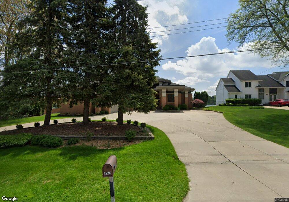
1977 Long Pointe Dr Bloomfield Hills, MI 48302
Estimated Value: $743,000 - $3,594,000
3
Beds
4
Baths
4,829
Sq Ft
$404/Sq Ft
Est. Value
About This Home
This home is located at 1977 Long Pointe Dr, Bloomfield Hills, MI 48302 and is currently estimated at $1,953,117, approximately $404 per square foot. 1977 Long Pointe Dr is a home located in Oakland County with nearby schools including Walt Whitman Elementary School, Pontiac Middle School, and Pontiac High School.
Ownership History
Date
Name
Owned For
Owner Type
Purchase Details
Closed on
Jan 5, 2018
Sold by
Pai Balakrishna and Pai Indumathi
Bought by
Pai Balakrishna and Pai Indumathi
Current Estimated Value
Purchase Details
Closed on
Jul 17, 1996
Sold by
Kern Paul A
Bought by
Pai Balakrishna
Create a Home Valuation Report for This Property
The Home Valuation Report is an in-depth analysis detailing your home's value as well as a comparison with similar homes in the area
Home Values in the Area
Average Home Value in this Area
Purchase History
| Date | Buyer | Sale Price | Title Company |
|---|---|---|---|
| Pai Balakrishna | -- | None Available | |
| Pai Balakrishna | -- | -- |
Source: Public Records
Tax History Compared to Growth
Tax History
| Year | Tax Paid | Tax Assessment Tax Assessment Total Assessment is a certain percentage of the fair market value that is determined by local assessors to be the total taxable value of land and additions on the property. | Land | Improvement |
|---|---|---|---|---|
| 2024 | $11,140 | $1,202,230 | $0 | $0 |
| 2023 | $10,629 | $1,050,500 | $0 | $0 |
| 2022 | $18,143 | $842,670 | $0 | $0 |
| 2021 | $17,724 | $816,170 | $0 | $0 |
| 2020 | $9,783 | $803,770 | $0 | $0 |
| 2019 | $17,371 | $778,340 | $0 | $0 |
| 2018 | $17,062 | $729,680 | $0 | $0 |
| 2017 | $16,777 | $721,040 | $0 | $0 |
| 2016 | $16,771 | $676,700 | $0 | $0 |
| 2015 | -- | $649,570 | $0 | $0 |
| 2014 | -- | $590,030 | $0 | $0 |
| 2011 | -- | $485,020 | $0 | $0 |
Source: Public Records
Map
Nearby Homes
- 2121 Uplong St
- 1831 Long Pointe Dr
- 2665 Middlebelt Rd
- 2954 Long Ridge Ct
- 2300 Pine Lake Rd
- 2360 Pineview
- 2779 Turtle Lake Dr
- 2372 Pine Lake Rd
- 2759 Turtle Ridge Dr
- 3668 Bayou Dr
- 2785 Turtle Lake Dr
- 2622 Pine Ridge Rd
- 1772 Heron Ridge Dr
- 1853 W Bend Dr
- 2756 Turtle Bluff Dr
- 2276 Shore Hill Dr
- 1744 Heron Ridge Dr
- 2707 Turtle Lake Dr
- 1887 Harvest Ln
- 2230 Middlebelt Rd
- 1969 Long Pointe Dr
- 1985 Long Pointe Dr
- 1961 Long Pointe Dr
- 1993 Long Pointe Dr
- 1974 Long Pointe Dr
- 1953 Long Pointe Dr
- 2700 Robindale Ln
- 1990 Long Pointe Dr
- 1958 Long Pointe Dr
- 1945 Long Pointe Dr
- 2688 Robindale Ln
- 1946 Long Pointe Dr
- 2191 Uplong St
- 2675 Robindale Ln
- 1929 Long Pointe Dr
- 2660 Robindale Ln
- 2674 Marie Cir
- 2200 Uplong St
- 2247 Oakway Dr
- 2645 Robindale Ln