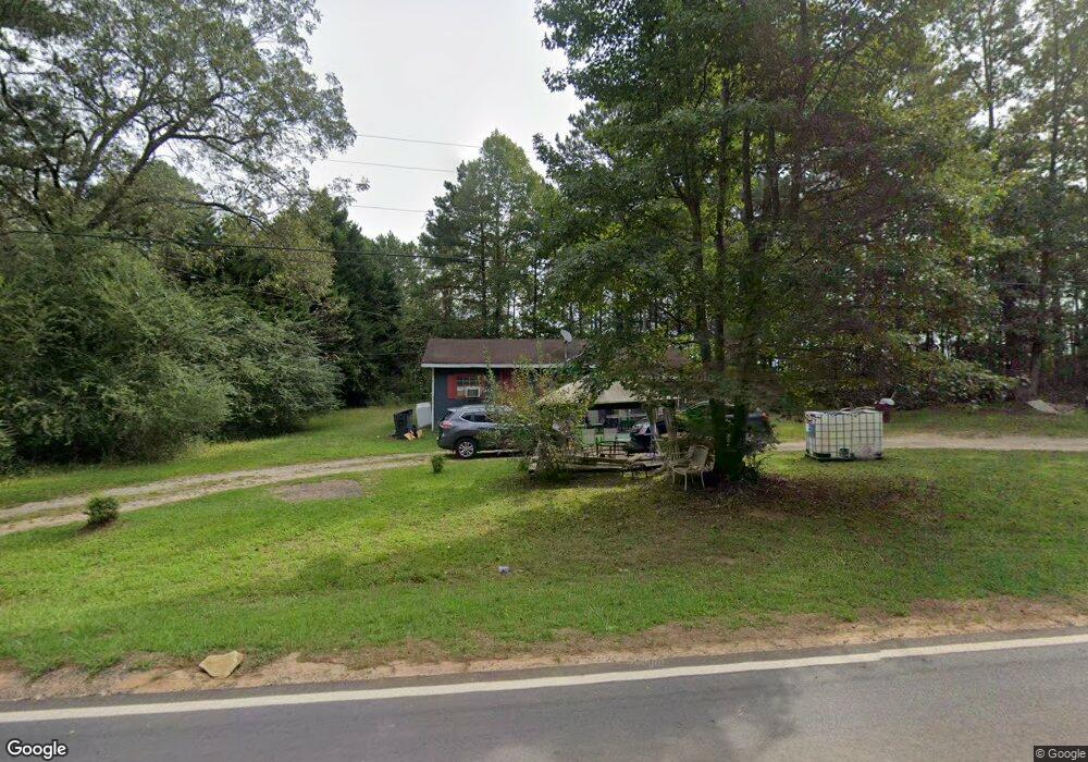
1977 Luthersville Rd Luthersville, GA 30251
Estimated Value: $54,723 - $317,000
1
Bed
1
Bath
508
Sq Ft
$379/Sq Ft
Est. Value
About This Home
This home is located at 1977 Luthersville Rd, Luthersville, GA 30251 and is currently estimated at $192,681, approximately $379 per square foot. 1977 Luthersville Rd is a home located in Meriwether County with nearby schools including Unity Elementary School.
Ownership History
Date
Name
Owned For
Owner Type
Purchase Details
Closed on
May 4, 2012
Sold by
Brown Sid
Bought by
Slaton Johnny C
Current Estimated Value
Purchase Details
Closed on
Jun 1, 2004
Sold by
Brown Sid
Bought by
Wright Timothy J
Purchase Details
Closed on
Nov 24, 1989
Sold by
Jewell Willie C
Bought by
Brown Sid
Purchase Details
Closed on
Jun 1, 1977
Sold by
Bellamy Mary Ella
Bought by
Jewell Willie C
Purchase Details
Closed on
Jan 1, 1947
Sold by
Dodds Mrs M and Dodds H
Bought by
Bellamy Mary Ella
Create a Home Valuation Report for This Property
The Home Valuation Report is an in-depth analysis detailing your home's value as well as a comparison with similar homes in the area
Home Values in the Area
Average Home Value in this Area
Purchase History
| Date | Buyer | Sale Price | Title Company |
|---|---|---|---|
| Slaton Johnny C | -- | -- | |
| Wright Timothy J | $600 | -- | |
| Brown Sid | -- | -- | |
| Jewell Willie C | -- | -- | |
| Bellamy Mary Ella | -- | -- |
Source: Public Records
Tax History Compared to Growth
Tax History
| Year | Tax Paid | Tax Assessment Tax Assessment Total Assessment is a certain percentage of the fair market value that is determined by local assessors to be the total taxable value of land and additions on the property. | Land | Improvement |
|---|---|---|---|---|
| 2024 | $185 | $5,560 | $2,600 | $2,960 |
| 2023 | $192 | $5,560 | $2,600 | $2,960 |
| 2022 | $192 | $5,560 | $2,600 | $2,960 |
| 2021 | $195 | $5,560 | $2,600 | $2,960 |
| 2020 | $196 | $5,560 | $2,600 | $2,960 |
| 2019 | $197 | $5,560 | $2,600 | $2,960 |
| 2018 | $199 | $5,560 | $2,600 | $2,960 |
| 2017 | $201 | $5,560 | $2,600 | $2,960 |
| 2016 | $183 | $5,560 | $2,600 | $2,960 |
| 2015 | $183 | $5,560 | $2,600 | $2,960 |
| 2014 | $183 | $5,560 | $2,600 | $2,960 |
| 2013 | -- | $5,560 | $2,600 | $2,960 |
Source: Public Records
Map
Nearby Homes
- 1086 Hunter Welch Pkwy
- 1419 Hunter Welch Pkwy
- 1888 Hunter Welch Pkwy
- 341 Hunter Welch Pkwy
- 944 Hunter Welch Pkwy
- 810 Hunter Welch Pkwy
- 532 Hunter Welch Pkwy
- 285 R L Parker Dr
- 229 Kelly Farms Dr
- 76 E Oak St
- 255 Wilson Rd
- 0 Main South St Unit 10622031
- 5 W Oak St
- 25 W 1st St
- 2515 Bethel Church Rd
- 286 Opal St
- 0 Cheryl St Unit 41, 42 & 43
- 00 Bethel Church Rd
- 1750 Bishop Rd
- 833 Hines Rd
- 1945 Luthersville Rd
- 100 Hwy 66
- 89 Greenhaven Dr
- 1891 Luthersville Rd
- 2150 Luthersville Rd
- 1799 Luthersville Rd
- 2001 Luthersville Rd
- 1896 Luthersville Rd
- 2220 Luthersville Rd
- 1764 Luthersville Rd
- 2240 Luthersville Rd
- 1700 Luthersville Rd
- 2221 Luthersville Rd
- 2320 Luthersville Rd
- 1599 Luthersville Rd
- 662 Strickland Town Rd
- 516 Strickland Town Rd
- 292 Strickland Town Rd
- 12 Parker Ct
- 1443 Hunter Welch Pkwy