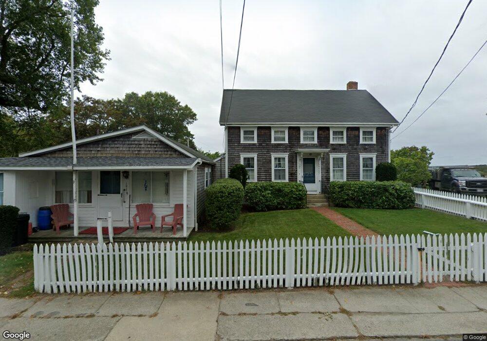
1977 Main Rd Westport Point, MA 02791
Westport Point NeighborhoodEstimated Value: $1,500,585
4
Beds
2
Baths
2,744
Sq Ft
$547/Sq Ft
Est. Value
About This Home
This home is located at 1977 Main Rd, Westport Point, MA 02791 and is currently estimated at $1,500,585, approximately $546 per square foot. 1977 Main Rd is a home located in Bristol County with nearby schools including Alice A. Macomber Primary School, Westport Elementary School, and Westport Middle-High School.
Ownership History
Date
Name
Owned For
Owner Type
Purchase Details
Closed on
Jan 16, 2024
Sold by
Wilkinson Kristin R
Bought by
Sunset Cue Llc
Current Estimated Value
Purchase Details
Closed on
Feb 2, 2023
Sold by
Carolyn C Cody 2015 Ret and Szklany
Bought by
Wlkinson Kristin R
Purchase Details
Closed on
May 14, 2018
Sold by
Cody Carolyn C
Bought by
Carolyn Columbia Cody and Columbia-Cody
Purchase Details
Closed on
Mar 14, 1977
Bought by
Cody Carolyn C
Create a Home Valuation Report for This Property
The Home Valuation Report is an in-depth analysis detailing your home's value as well as a comparison with similar homes in the area
Home Values in the Area
Average Home Value in this Area
Purchase History
| Date | Buyer | Sale Price | Title Company |
|---|---|---|---|
| Sunset Cue Llc | -- | None Available | |
| Wlkinson Kristin R | -- | None Available | |
| Carolyn Columbia Cody | -- | -- | |
| Cody Carolyn C | -- | -- |
Source: Public Records
Tax History Compared to Growth
Tax History
| Year | Tax Paid | Tax Assessment Tax Assessment Total Assessment is a certain percentage of the fair market value that is determined by local assessors to be the total taxable value of land and additions on the property. | Land | Improvement |
|---|---|---|---|---|
| 2025 | $8,645 | $1,160,400 | $688,800 | $471,600 |
| 2024 | $7,827 | $1,012,600 | $638,200 | $374,400 |
| 2023 | $7,187 | $880,700 | $519,400 | $361,300 |
| 2022 | $6,227 | $734,300 | $442,000 | $292,300 |
| 2021 | $5,480 | $635,700 | $375,100 | $260,600 |
| 2020 | $5,066 | $600,900 | $360,100 | $240,800 |
| 2019 | $4,945 | $597,900 | $360,100 | $237,800 |
| 2018 | $6,002 | $734,700 | $512,200 | $222,500 |
| 2017 | $5,785 | $725,900 | $508,500 | $217,400 |
| 2016 | $6,684 | $845,000 | $635,600 | $209,400 |
| 2015 | $5,992 | $755,600 | $576,800 | $178,800 |
Source: Public Records
Map
Nearby Homes
- 1881 Main Rd
- 1749 Main Rd
- 1702J Drift Rd
- 1702 Drift Rd
- 1580 Main Rd
- 19 Seabury Ln
- 1346 Main Rd Unit B
- 99 Sylvia Ln
- 238-242 E Beach Rd
- 189 Brayton Point Rd
- 304 Brayton Point Rd
- 255 John Dyer Rd
- Lot 2 Horseneck Rd
- 245 John Dyer Rd
- 225 Hixbridge Rd
- 920 Drift Rd
- 17 Quail Trail
- 101 Adamsville Rd
- Lot 2E Horseneck Rd
- 837 Main Rd
- 1977 Main Road U: Weekly
- 1973 Main Rd
- 1970 Main Rd
- 1982 Main Rd
- 1974 Main Rd Unit 1976
- 1976 Main Rd
- 1968 Main Rd
- 1991 Main Rd Unit WINTER
- 1991 Main Rd Unit VAC RENTAL
- 1980A/B Main Rd
- 1971 Main Rd
- 1972 Main Rd
- 1978 Main Rd
- 1980 Main Rd
- 1967 Main Rd
- 1991B Main Rd
- 1991B Main Rd Unit VAC RENTAL
- 1991B Main Rd Unit WEEKLY
- 1991B Main Rd Unit WINTER
- 1991C Main Rd