1977 Murray Rd Springtown, TX 76082
Estimated Value: $592,000 - $2,351,424
3
Beds
3
Baths
2,941
Sq Ft
$500/Sq Ft
Est. Value
About This Home
This home is located at 1977 Murray Rd, Springtown, TX 76082 and is currently estimated at $1,471,712, approximately $500 per square foot. 1977 Murray Rd is a home located in Parker County with nearby schools including Crockett Elementary School, Tison Middle School, and Weatherford High School.
Ownership History
Date
Name
Owned For
Owner Type
Purchase Details
Closed on
Oct 21, 2013
Sold by
Ford William E and Ford Danielle D
Bought by
Baird James G
Current Estimated Value
Home Financials for this Owner
Home Financials are based on the most recent Mortgage that was taken out on this home.
Original Mortgage
$888,000
Outstanding Balance
$224,240
Interest Rate
3.66%
Mortgage Type
New Conventional
Estimated Equity
$1,247,472
Purchase Details
Closed on
Nov 19, 1998
Bought by
Baird James G
Purchase Details
Closed on
Jan 1, 1901
Bought by
Baird James G
Create a Home Valuation Report for This Property
The Home Valuation Report is an in-depth analysis detailing your home's value as well as a comparison with similar homes in the area
Home Values in the Area
Average Home Value in this Area
Purchase History
| Date | Buyer | Sale Price | Title Company |
|---|---|---|---|
| Baird James G | -- | None Available | |
| Baird James G | -- | -- | |
| Baird James G | -- | -- |
Source: Public Records
Mortgage History
| Date | Status | Borrower | Loan Amount |
|---|---|---|---|
| Open | Baird James G | $888,000 |
Source: Public Records
Tax History Compared to Growth
Tax History
| Year | Tax Paid | Tax Assessment Tax Assessment Total Assessment is a certain percentage of the fair market value that is determined by local assessors to be the total taxable value of land and additions on the property. | Land | Improvement |
|---|---|---|---|---|
| 2025 | $5,655 | $736,116 | -- | -- |
| 2024 | $5,655 | $669,196 | -- | -- |
| 2023 | $5,655 | $608,360 | $0 | $0 |
| 2022 | $10,297 | $553,060 | $36,000 | $517,060 |
| 2021 | $11,140 | $553,060 | $36,000 | $517,060 |
| 2020 | $10,240 | $504,840 | $36,000 | $468,840 |
| 2019 | $10,921 | $504,840 | $36,000 | $468,840 |
| 2018 | $9,980 | $458,830 | $36,000 | $422,830 |
| 2017 | $9,624 | $434,830 | $12,000 | $422,830 |
| 2016 | $8,749 | $394,180 | $12,000 | $382,180 |
| 2015 | $7,707 | $394,180 | $12,000 | $382,180 |
| 2014 | $7,661 | $379,540 | $5,850 | $373,690 |
Source: Public Records
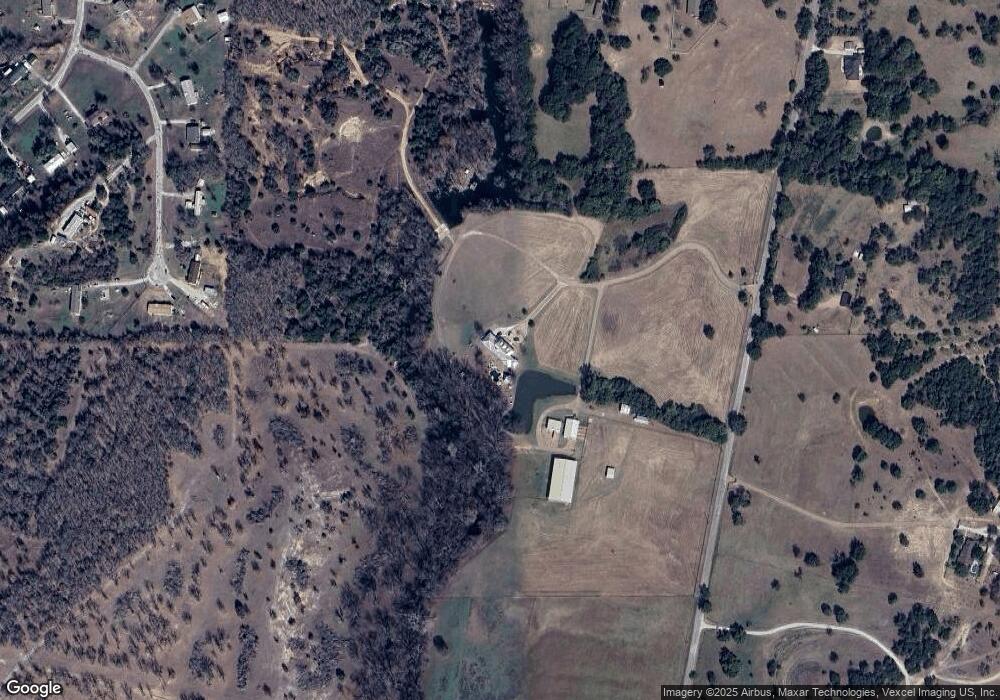
Map
Nearby Homes
- 151 Kriston Ln
- 514 Blue Sky Ct
- 113 Draper Dr
- 134 Blue Valley Ct
- TBD Murray Rd
- 178 Valley Lake Ln
- 122 Blue Moon Ct
- 1835 Carter Rd
- 6371 Prather Rd
- 1933 Carter Rd
- 143 Carter Hills Ln
- 332 Water View Ln
- 342 Rising View Ct
- 1040 Ray's Way
- Lot 8 Carter Rd
- 1024 Sunny Ct
- 265 Dill Rd
- 245 Lelon Ln
- 7553 Hutcheson Hill Rd
- 108 Grant Alan Ct
- 127 Kriston Ln
- 139 Kriston Ln
- 143 Kriston Ln
- 115 Kriston Ln
- 121 Lone Hill Ct
- 117 Lone Hill Ct
- 1950 Murray Rd
- 134 Lone Hill Ct
- 2101 Murray Rd
- 109 Lone Hill Ct
- 128 Lone Hill Ct
- 110 Lone Hill Ct
- 2066 Murray Rd
- 213 Blue Sky Ln
- 219 Blue Sky Ln
- 1800 Murray Rd
- 1696 Murray Rd
- 207 Blue Sky Ln
- 225 Blue Sky Ln
- 671 Carter Rd