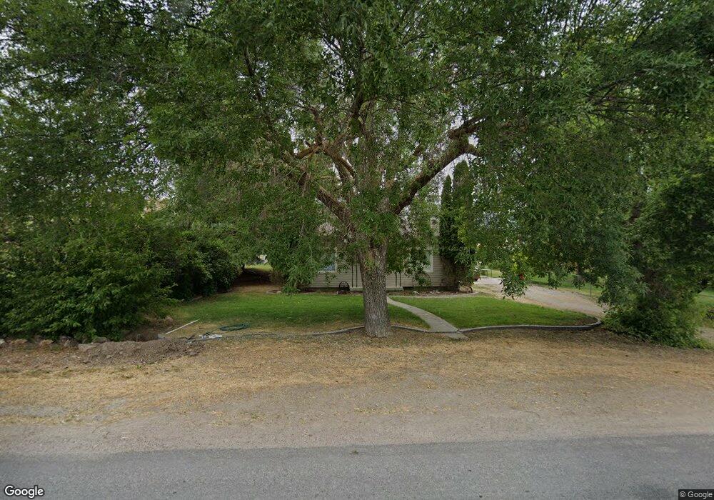
1977 S 2400 E Preston, ID 83263
Estimated Value: $302,000 - $514,000
4
Beds
1
Bath
1,600
Sq Ft
$252/Sq Ft
Est. Value
About This Home
This home is located at 1977 S 2400 E, Preston, ID 83263 and is currently estimated at $402,797, approximately $251 per square foot. 1977 S 2400 E is a home located in Franklin County with nearby schools including Oakwood Elementary School, Pioneer Elementary School, and Preston Junior High School.
Ownership History
Date
Name
Owned For
Owner Type
Purchase Details
Closed on
May 13, 2020
Sold by
Alder Derik and Bodily Amber
Bought by
Alder Amber and Alder Derik B
Current Estimated Value
Home Financials for this Owner
Home Financials are based on the most recent Mortgage that was taken out on this home.
Original Mortgage
$117,900
Outstanding Balance
$81,864
Interest Rate
3.3%
Mortgage Type
New Conventional
Estimated Equity
$320,933
Purchase Details
Closed on
May 1, 2015
Sold by
Cole Jaydee and Cole Beverly H
Bought by
Alder Derik and Alder Amber
Purchase Details
Closed on
Jun 30, 2011
Sold by
Andersen Jonathan and Andersen Andrea
Bought by
Alder Derik and Bodily Amber
Home Financials for this Owner
Home Financials are based on the most recent Mortgage that was taken out on this home.
Original Mortgage
$126,704
Interest Rate
3.5%
Mortgage Type
FHA
Create a Home Valuation Report for This Property
The Home Valuation Report is an in-depth analysis detailing your home's value as well as a comparison with similar homes in the area
Purchase History
| Date | Buyer | Sale Price | Title Company |
|---|---|---|---|
| Alder Amber | -- | Northern Title Company Of Id | |
| Alder Derik | -- | None Available | |
| Alder Derik | -- | -- |
Source: Public Records
Mortgage History
| Date | Status | Borrower | Loan Amount |
|---|---|---|---|
| Open | Alder Amber | $117,900 | |
| Previous Owner | Alder Derik | $126,704 |
Source: Public Records
Tax History
| Year | Tax Paid | Tax Assessment Tax Assessment Total Assessment is a certain percentage of the fair market value that is determined by local assessors to be the total taxable value of land and additions on the property. | Land | Improvement |
|---|---|---|---|---|
| 2025 | $1,021 | $277,175 | $93,300 | $183,875 |
| 2024 | $916 | $231,746 | $93,300 | $138,446 |
| 2023 | $889 | $231,746 | $93,300 | $138,446 |
| 2022 | $958 | $192,655 | $52,452 | $140,203 |
| 2021 | $921 | $177,015 | $52,452 | $124,563 |
| 2019 | $851 | $125,450 | $52,452 | $72,998 |
| 2018 | $794 | $112,565 | $36,200 | $76,365 |
| 2017 | $823 | $112,985 | $36,200 | $76,785 |
| 2016 | $777 | $97,720 | $36,200 | $61,520 |
| 2015 | $733 | $97,720 | $36,200 | $61,520 |
| 2014 | $13,324 | $98,460 | $32,800 | $65,660 |
| 2013 | $11,797 | $98,460 | $32,800 | $65,660 |
Source: Public Records
Map
Nearby Homes
Your Personal Tour Guide
Ask me questions while you tour the home.