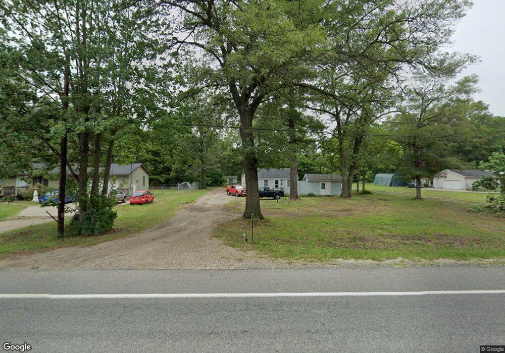
1977 S Mill Iron Rd Muskegon, MI 49442
Estimated Value: $202,000 - $251,000
--
Bed
3
Baths
625
Sq Ft
$356/Sq Ft
Est. Value
About This Home
This home is located at 1977 S Mill Iron Rd, Muskegon, MI 49442 and is currently estimated at $222,456, approximately $355 per square foot. 1977 S Mill Iron Rd is a home located in Muskegon County with nearby schools including Orchard View Early Elementary School, Cardinal Elementary School, and Orchard View Middle School.
Ownership History
Date
Name
Owned For
Owner Type
Purchase Details
Closed on
Jun 22, 2017
Sold by
Exit Strategy December 13 Llc
Bought by
Braxtyn Builders Llc
Current Estimated Value
Purchase Details
Closed on
Aug 25, 2015
Sold by
Right Buy Properties Holdings Llc
Bought by
Exit Strategy Llc
Purchase Details
Closed on
Mar 6, 2014
Sold by
Right Buy Properties Llc
Bought by
Exit Strategy December 13 Llc
Purchase Details
Closed on
Jan 20, 2014
Sold by
Right Buy Properties Llc
Bought by
Right Buy Properties Holdings Llc
Purchase Details
Closed on
Jan 17, 2014
Sold by
Singleton Joyce M
Bought by
Right Buy Properties Llc
Create a Home Valuation Report for This Property
The Home Valuation Report is an in-depth analysis detailing your home's value as well as a comparison with similar homes in the area
Home Values in the Area
Average Home Value in this Area
Purchase History
| Date | Buyer | Sale Price | Title Company |
|---|---|---|---|
| Braxtyn Builders Llc | -- | None Available | |
| Exit Strategy December 13 Llc | -- | None Available | |
| Exit Strategy Llc | -- | Chicago Title | |
| Exit Strategy December 13 Llc | -- | Multiple | |
| Right Buy Properties Holdings Llc | -- | Commercial Title Service | |
| Right Buy Properties Llc | $627,906 | Rei |
Source: Public Records
Tax History Compared to Growth
Tax History
| Year | Tax Paid | Tax Assessment Tax Assessment Total Assessment is a certain percentage of the fair market value that is determined by local assessors to be the total taxable value of land and additions on the property. | Land | Improvement |
|---|---|---|---|---|
| 2025 | $3,230 | $116,200 | $0 | $0 |
| 2024 | $657 | $107,200 | $0 | $0 |
| 2023 | $628 | $88,500 | $0 | $0 |
| 2022 | $2,944 | $70,500 | $0 | $0 |
| 2021 | $2,866 | $61,400 | $0 | $0 |
| 2020 | $2,835 | $56,600 | $0 | $0 |
| 2019 | $2,790 | $52,600 | $0 | $0 |
| 2018 | $2,670 | $46,700 | $0 | $0 |
| 2017 | $3,153 | $46,300 | $0 | $0 |
| 2016 | $486 | $42,900 | $0 | $0 |
| 2015 | -- | $40,300 | $0 | $0 |
| 2014 | -- | $38,400 | $0 | $0 |
| 2013 | -- | $35,000 | $0 | $0 |
Source: Public Records
Map
Nearby Homes
- 3626 E Laketon Ave
- 3878 E Laketon Ave
- 1907 S Brooks Rd
- 2054 Ironwood Ct W
- 1946 Spyglass Trail
- 1978 Colonial Ln
- 1832 Pepperwood Trail S
- 2362 Debaker Rd
- 4210 Tasal Trail
- 1441 S Brooks Rd
- 4242 Doral Dr
- 1440 S Brooks Rd
- 0 E Laketon Ave Unit 25000141
- 1476 Frost St
- 2852 Devowe St
- 3186 E Apple Ave
- 3884 E Apple Ave
- VL Olthoff Dr
- 2449 E Laketon Ave
- 2576 Vine Ave
- 2011 S Mill Iron Rd
- 1991 S Mill Iron Rd
- 1949 S Mill Iron Rd
- 1959 S Mill Iron Rd
- 1933 S Mill Iron Rd
- 1990 S Mill Iron Rd
- 16341636 S Mill Iron Rd
- VL S Mill Iron Rd
- 2139 S Mill Iron Rd
- 2031 S Mill Iron Rd
- 2043 S Mill Iron Rd
- 2004 S Mill Iron Rd
- 1940 S Mill Iron Rd
- 2020 S Mill Iron Rd
- 1920 S Mill Iron Rd
- 1960 S Mill Iron Rd
- 1952 S Mill Iron Rd
- 2063 S Mill Iron Rd
- 1891 S Mill Iron Rd
- 2048 S Mill Iron Rd