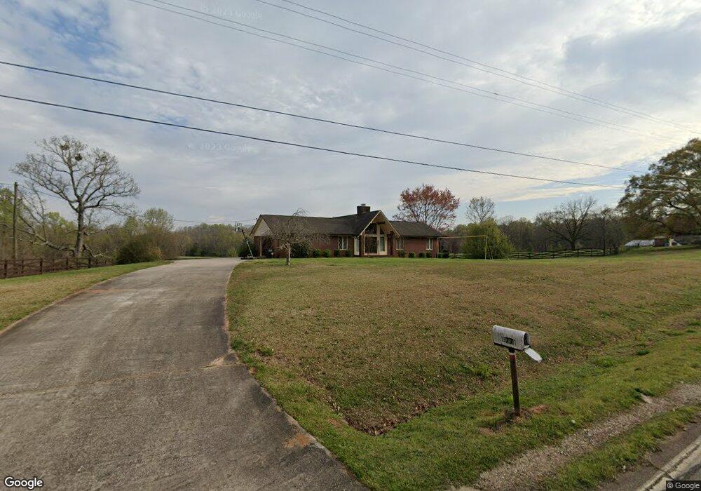
19771 Highway 59 Carnesville, GA 30521
Estimated Value: $216,000 - $288,075
2
Beds
2
Baths
1,008
Sq Ft
$255/Sq Ft
Est. Value
About This Home
This home is located at 19771 Highway 59, Carnesville, GA 30521 and is currently estimated at $256,692, approximately $254 per square foot. 19771 Highway 59 is a home located in Franklin County with nearby schools including Franklin County High School.
Ownership History
Date
Name
Owned For
Owner Type
Purchase Details
Closed on
Apr 29, 2020
Sold by
Wells Tiffany
Bought by
Stansell Rosemarie W and Stansell Raymond D
Current Estimated Value
Purchase Details
Closed on
Jan 19, 2018
Sold by
Duffell Retha B
Bought by
Wells Tiffany D and Seguin Christy D
Purchase Details
Closed on
Oct 20, 2014
Sold by
Duffell T Allen
Bought by
Duffell Retha Geraldine
Purchase Details
Closed on
Mar 1, 1996
Bought by
Duffle Retha B
Create a Home Valuation Report for This Property
The Home Valuation Report is an in-depth analysis detailing your home's value as well as a comparison with similar homes in the area
Home Values in the Area
Average Home Value in this Area
Purchase History
| Date | Buyer | Sale Price | Title Company |
|---|---|---|---|
| Stansell Rosemarie W | $188,000 | -- | |
| Wells Tiffany D | -- | -- | |
| Duffell Retha Geraldine | -- | -- | |
| Duffle Retha B | -- | -- |
Source: Public Records
Tax History Compared to Growth
Tax History
| Year | Tax Paid | Tax Assessment Tax Assessment Total Assessment is a certain percentage of the fair market value that is determined by local assessors to be the total taxable value of land and additions on the property. | Land | Improvement |
|---|---|---|---|---|
| 2024 | $356 | $77,540 | $75,539 | $2,001 |
| 2023 | $377 | $70,675 | $68,674 | $2,001 |
| 2022 | $367 | $55,287 | $53,286 | $2,001 |
| 2021 | $382 | $55,287 | $53,286 | $2,001 |
| 2020 | $382 | $47,168 | $45,167 | $2,001 |
| 2019 | $360 | $47,168 | $45,167 | $2,001 |
| 2018 | $352 | $49,989 | $47,989 | $2,000 |
| 2017 | $357 | $49,989 | $47,989 | $2,000 |
| 2016 | $364 | $49,989 | $47,989 | $2,000 |
| 2015 | -- | $49,989 | $47,989 | $2,000 |
| 2014 | -- | $49,989 | $47,989 | $2,000 |
| 2013 | -- | $49,989 | $47,989 | $2,000 |
Source: Public Records
Map
Nearby Homes
- 0 Old Federal Rd Unit 6931372
- HWY 51 Owl Hollow Rd
- 0 Morris Trail Unit 10394631
- 8188 Sandy Cross Rd
- 18010 Georgia 59
- 0 Georgia 198
- 1079 Hardeman Farm Rd
- 0 Falcon Ln Unit 1024877
- 0 Falcon Ln Unit 10495019
- 6343 Georgia 198
- 5821 Georgia 320
- 0 Highway 320 Unit 10523383
- 95 Farmers Academy Rd
- 173 Crestview Dr
- 2046 Westbrook Rd
- 1845 Old Stagecoach Rd
- 210 Nora Moss Ln
- 150 Garrison Rd
- 262 Garrison Rd
- 711 Shackelford Rd
- 19874 Georgia 59
- 19935 Highway 59
- 19935 Georgia 59
- 19655 Highway 59
- 20000 Highway 59
- 19470 Highway 59
- 0 Jr Bond and Highway 51 Unit 8748575
- 19266 Highway 59
- 20330 Highway 59
- 0 Highway 59 Unit 8241058
- 0 Highway 59 Unit 3189504
- 0 Highway 59 Unit 8056008
- 0 Highway 59 Unit 3107138
- 0 Highway 59 Unit 7274481
- 0 Highway 59 Unit 7284672
- 0 Hwy 59 Unit 8234735
- 0 Hwy 59 Unit 7470989
- 0 Hwy 59 Unit 112359
- 0 Hwy 59 Unit 20117838
- 0 Hwy 59 Unit 20075594