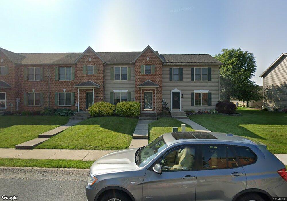
1978 Ashley Dr Chambersburg, PA 17201
Estimated Value: $131,060 - $282,000
--
Bed
1
Bath
1,448
Sq Ft
$153/Sq Ft
Est. Value
About This Home
This home is located at 1978 Ashley Dr, Chambersburg, PA 17201 and is currently estimated at $221,765, approximately $153 per square foot. 1978 Ashley Dr is a home located in Franklin County with nearby schools including Chambersburg Area Middle School - North, Chambersburg Area Senior High School, and Cumberland Valley Christian School.
Ownership History
Date
Name
Owned For
Owner Type
Purchase Details
Closed on
Dec 10, 2014
Sold by
Burger Stephanie H and Murr Stephanie R
Bought by
Murr Randall S and Murr Stephanie R
Current Estimated Value
Home Financials for this Owner
Home Financials are based on the most recent Mortgage that was taken out on this home.
Original Mortgage
$131,000
Outstanding Balance
$100,567
Interest Rate
3.98%
Mortgage Type
New Conventional
Estimated Equity
$121,198
Purchase Details
Closed on
Jun 8, 2005
Sold by
Delos Devlopment Group Inc
Bought by
Burger Stephanie H
Home Financials for this Owner
Home Financials are based on the most recent Mortgage that was taken out on this home.
Original Mortgage
$157,000
Interest Rate
5.73%
Mortgage Type
New Conventional
Create a Home Valuation Report for This Property
The Home Valuation Report is an in-depth analysis detailing your home's value as well as a comparison with similar homes in the area
Home Values in the Area
Average Home Value in this Area
Purchase History
| Date | Buyer | Sale Price | Title Company |
|---|---|---|---|
| Murr Randall S | -- | None Available | |
| Burger Stephanie H | $167,000 | None Available |
Source: Public Records
Mortgage History
| Date | Status | Borrower | Loan Amount |
|---|---|---|---|
| Open | Murr Randall S | $131,000 | |
| Closed | Burger Stephanie H | $157,000 |
Source: Public Records
Tax History Compared to Growth
Tax History
| Year | Tax Paid | Tax Assessment Tax Assessment Total Assessment is a certain percentage of the fair market value that is determined by local assessors to be the total taxable value of land and additions on the property. | Land | Improvement |
|---|---|---|---|---|
| 2025 | $2,916 | $19,700 | $810 | $18,890 |
| 2024 | $3,749 | $19,700 | $810 | $18,890 |
| 2023 | $3,652 | $19,700 | $810 | $18,890 |
| 2022 | $3,552 | $19,700 | $810 | $18,890 |
| 2021 | $3,533 | $19,700 | $810 | $18,890 |
| 2020 | $3,456 | $19,700 | $810 | $18,890 |
| 2019 | $3,355 | $19,700 | $810 | $18,890 |
| 2018 | $3,252 | $19,700 | $810 | $18,890 |
| 2017 | $3,064 | $19,700 | $810 | $18,890 |
| 2016 | $564 | $19,700 | $810 | $18,890 |
| 2015 | $526 | $19,700 | $810 | $18,890 |
| 2014 | $526 | $19,700 | $810 | $18,890 |
Source: Public Records
Map
Nearby Homes
- 735 Bassett Dr
- 2242 Scotland Rd
- 547 Mentzer Ave
- 81 Laurel Ave
- 454 Winchester Dr
- 30 Laurel Ave
- 1621 Scotland Ave
- 1426 Alexander Ave
- 1648 Philadelphia Ave
- 128 Minnich Rd
- 1212 Scotland Ave
- 0 Philadelphia Ave Unit PAFL2026366
- 2367 Mccleary Dr
- 2420 Mccleary Dr
- 2353 Mccleary Dr
- 261 Justine Dr
- 1438 Nolts Rd
- 149 Matthew Dr
- 197 Parkwood Dr Unit 320
- 3576 Sycamore Grove Rd
- 1980 Ashley Dr
- 1982 Ashley Dr
- 1984 Ashley Dr
- 1984 Ashley Dr Unit 186
- 1976 Ashley Dr
- 1986 Ashley Dr
- 1968 Ashley Dr
- 1972 Ashley Dr
- 1992 Ashley Dr
- 1970 Ashley Dr
- 2019 Powell Dr
- 2015 Powell Dr
- 2015 Powell Dr Unit 218
- 1996 Ashley Dr
- 2017 Powell Dr
- 2021 Powell Dr
- 2023 Powell Dr
- 2025 Powell Dr
- 1979 Ashley Dr
- 1981 Ashley Dr