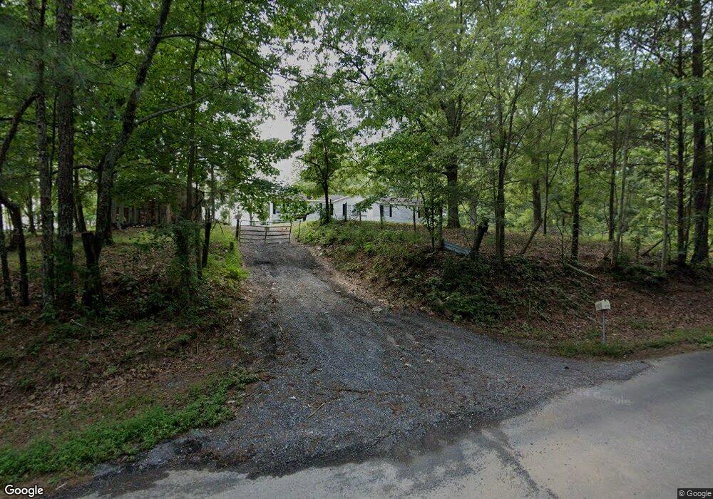
1978 Collins Rd SE Dalton, GA 30721
Estimated Value: $223,429 - $289,000
--
Bed
--
Bath
1,728
Sq Ft
$144/Sq Ft
Est. Value
About This Home
This home is located at 1978 Collins Rd SE, Dalton, GA 30721 and is currently estimated at $248,107, approximately $143 per square foot. 1978 Collins Rd SE is a home located in Whitfield County with nearby schools including Antioch Elementary School, Eastbrook Middle School, and Southeast Whitfield County High School.
Ownership History
Date
Name
Owned For
Owner Type
Purchase Details
Closed on
Oct 8, 2010
Sold by
Scott Billy James
Bought by
Gordon William Shawn
Current Estimated Value
Home Financials for this Owner
Home Financials are based on the most recent Mortgage that was taken out on this home.
Original Mortgage
$45,200
Outstanding Balance
$29,888
Interest Rate
4.39%
Mortgage Type
New Conventional
Estimated Equity
$218,219
Purchase Details
Closed on
May 1, 1996
Bought by
Scott Kelly Brian
Create a Home Valuation Report for This Property
The Home Valuation Report is an in-depth analysis detailing your home's value as well as a comparison with similar homes in the area
Home Values in the Area
Average Home Value in this Area
Purchase History
| Date | Buyer | Sale Price | Title Company |
|---|---|---|---|
| Gordon William Shawn | $56,500 | -- | |
| Scott Kelly Brian | -- | -- |
Source: Public Records
Mortgage History
| Date | Status | Borrower | Loan Amount |
|---|---|---|---|
| Open | Gordon William Shawn | $45,200 |
Source: Public Records
Tax History Compared to Growth
Tax History
| Year | Tax Paid | Tax Assessment Tax Assessment Total Assessment is a certain percentage of the fair market value that is determined by local assessors to be the total taxable value of land and additions on the property. | Land | Improvement |
|---|---|---|---|---|
| 2024 | $1,180 | $58,993 | $13,748 | $45,245 |
| 2023 | $1,180 | $39,323 | $8,799 | $30,524 |
| 2022 | $1,017 | $34,490 | $8,634 | $25,856 |
| 2021 | $1,018 | $34,490 | $8,634 | $25,856 |
| 2020 | $1,052 | $34,490 | $8,634 | $25,856 |
| 2019 | $1,069 | $34,490 | $8,634 | $25,856 |
| 2018 | $1,038 | $32,958 | $7,102 | $25,856 |
| 2017 | $1,039 | $32,958 | $7,102 | $25,856 |
| 2016 | $930 | $30,676 | $7,102 | $23,574 |
| 2014 | $882 | $32,767 | $9,193 | $23,574 |
| 2013 | -- | $32,766 | $9,192 | $23,574 |
Source: Public Records
Map
Nearby Homes
- 1271 Ridge Rd SE
- 241 Angus Rd
- 2200 Ridge Rd SE
- 1142 Ben Hill Rd SE
- 2132 Lawson Dr SE
- 296 Wagner Dr
- 215 Wagner Dr
- 1401 Eastbrook Dr SE
- 00 Hill Rd
- 1401 Eastbrook Rd SE
- 1712 Wendell St
- 171 Bear Den Ct
- 2091 Hummingbird Dr
- 2437 S Riverbend Rd
- Lot 3 Riverbend Rd
- Lot 2 Riverbend Rd
- 945 Riverbend Rd
- 6 Harrison Ln
- 5 Harrison Ln
- 4 Harrison Ln
- 1924 Collins Rd SE
- 137 Sage Way
- 137 Sage Way
- 2001 Collins Rd SE
- 1936 Collins Rd SE
- 227 Sage Way
- 1610 Bradley Dr SE
- 00 Bradley Dr
- 2019 Collins Rd SE
- 293 Sage Way
- 2008 Collins Rd SE
- 1927 Collins Rd SE
- 1615 Bradley Dr SE
- 1621 Bradley Dr SE
- 315 Sage Way
- 0 Bradley Dr
- 2032 Collins Rd SE
- 2030 Collins Rd SE
- 1144 Danielle Dr
- 1146 Danielle Dr