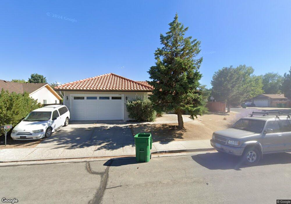
1978 Hamilton Ave Carson City, NV 89706
Northridge NeighborhoodEstimated Value: $468,329 - $496,000
4
Beds
2
Baths
1,692
Sq Ft
$286/Sq Ft
Est. Value
About This Home
This home is located at 1978 Hamilton Ave, Carson City, NV 89706 and is currently estimated at $484,332, approximately $286 per square foot. 1978 Hamilton Ave is a home located in Carson City with nearby schools including Mark Twain Elementary School, Carson Middle School, and Carson High School.
Ownership History
Date
Name
Owned For
Owner Type
Purchase Details
Closed on
Sep 1, 2009
Sold by
Mays Earl A and Mays Michelle M
Bought by
Carlquist Heather Marie
Current Estimated Value
Home Financials for this Owner
Home Financials are based on the most recent Mortgage that was taken out on this home.
Original Mortgage
$188,977
Outstanding Balance
$123,527
Interest Rate
5.18%
Mortgage Type
VA
Estimated Equity
$360,805
Create a Home Valuation Report for This Property
The Home Valuation Report is an in-depth analysis detailing your home's value as well as a comparison with similar homes in the area
Home Values in the Area
Average Home Value in this Area
Purchase History
| Date | Buyer | Sale Price | Title Company |
|---|---|---|---|
| Carlquist Heather Marie | $185,000 | Capital Title Co |
Source: Public Records
Mortgage History
| Date | Status | Borrower | Loan Amount |
|---|---|---|---|
| Open | Carlquist Heather Marie | $188,977 |
Source: Public Records
Tax History Compared to Growth
Tax History
| Year | Tax Paid | Tax Assessment Tax Assessment Total Assessment is a certain percentage of the fair market value that is determined by local assessors to be the total taxable value of land and additions on the property. | Land | Improvement |
|---|---|---|---|---|
| 2025 | $2,718 | $83,181 | $34,300 | $48,881 |
| 2024 | $2,538 | $84,449 | $34,300 | $50,149 |
| 2023 | $2,350 | $77,284 | $29,750 | $47,534 |
| 2022 | $2,177 | $67,031 | $23,800 | $43,231 |
| 2021 | $2,016 | $63,424 | $20,650 | $42,774 |
| 2019 | $1,875 | $59,022 | $16,800 | $42,222 |
| 2018 | $1,789 | $54,913 | $14,000 | $40,913 |
| 2017 | $1,717 | $53,514 | $12,600 | $40,914 |
| 2016 | $1,674 | $52,523 | $10,500 | $42,023 |
| 2015 | $1,670 | $50,852 | $8,750 | $42,102 |
| 2014 | $1,621 | $46,908 | $7,000 | $39,908 |
Source: Public Records
Map
Nearby Homes
- 1970 Hamilton Ave
- 1654 Spooner Dr
- 1381 Spooner Dr
- 2616 Carriage Crest Dr
- 2613 Pinion Pine Dr
- 2542 Ravenshorn Dr
- 2756 Table Rock Dr
- 2048 Poole Way
- 1902 Peters St
- 493 Hot Springs Rd Unit 1
- 493 Hot Springs Rd Unit 24
- 1955 F St
- 0 Research Way
- 2408 Bunch Way
- 1772 Hogan Peak St
- 5 Riley Cir
- 1321 Ashby Ct
- 2524 Sneddon Way
- 2610 E Nye Ln
- Cross Creek, Plan 6 at Cross Creek
- 1974 Hamilton Ave
- 1618 Karin Dr
- 1624 Karin Dr
- 1981 Hamilton Ave
- 2010 Hamilton Ave
- 1630 Karin Dr
- 1977 Hamilton Ave
- 1978 Carriage Crest Dr
- 2011 Hamilton Ave
- 1972 Carriage Crest Dr Unit 12B
- 1636 Karin Dr
- 1973 Hamilton Ave
- 1625 Karin Dr
- 1619 Karin Dr
- 1966 Hamilton Ave
- 2016 Hamilton Ave
- 1966 Carriage Crest Dr
- 1969 Hamilton Ave
- 1642 Karin Dr
- 2076 Carriage Crest Dr