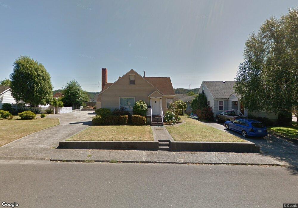
1978 Hawthorne Ave Reedsport, OR 97467
Estimated Value: $331,704 - $375,000
3
Beds
2
Baths
2,542
Sq Ft
$142/Sq Ft
Est. Value
About This Home
This home is located at 1978 Hawthorne Ave, Reedsport, OR 97467 and is currently estimated at $361,926, approximately $142 per square foot. 1978 Hawthorne Ave is a home located in Douglas County with nearby schools including Highland Elementary School and Reedsport Community Charter School.
Ownership History
Date
Name
Owned For
Owner Type
Purchase Details
Closed on
Aug 4, 2011
Sold by
Colangelo Vince
Bought by
Colangelo Morris and Colangelo Patricia
Current Estimated Value
Purchase Details
Closed on
Jan 26, 2010
Sold by
Wells Fargo Financial Oregon Inc
Bought by
Colangelo Vince
Purchase Details
Closed on
Nov 12, 2009
Sold by
Licon Beverly R
Bought by
Wells Fargo Financial Oregon Inc
Purchase Details
Closed on
Jun 28, 2006
Sold by
Licon Beverly R
Bought by
Licon Beverly R and Beverly R Licon Revocable Trust
Create a Home Valuation Report for This Property
The Home Valuation Report is an in-depth analysis detailing your home's value as well as a comparison with similar homes in the area
Home Values in the Area
Average Home Value in this Area
Purchase History
| Date | Buyer | Sale Price | Title Company |
|---|---|---|---|
| Colangelo Morris | $92,500 | Western Title & Escrow | |
| Colangelo Vince | $90,000 | First American Title Ins Co | |
| Wells Fargo Financial Oregon Inc | $108,500 | First American Title Ins Co | |
| Licon Beverly R | -- | None Available |
Source: Public Records
Tax History Compared to Growth
Tax History
| Year | Tax Paid | Tax Assessment Tax Assessment Total Assessment is a certain percentage of the fair market value that is determined by local assessors to be the total taxable value of land and additions on the property. | Land | Improvement |
|---|---|---|---|---|
| 2024 | $3,267 | $173,060 | -- | -- |
| 2023 | $3,176 | $168,020 | $0 | $0 |
| 2022 | $3,083 | $163,127 | $0 | $0 |
| 2021 | $2,563 | $158,376 | $0 | $0 |
| 2020 | $2,939 | $154,233 | $0 | $0 |
| 2019 | $2,818 | $149,741 | $0 | $0 |
| 2018 | $2,667 | $145,380 | $0 | $0 |
| 2017 | $2,337 | $141,146 | $0 | $0 |
| 2016 | $2,274 | $137,035 | $0 | $0 |
| 2015 | $2,191 | $133,044 | $0 | $0 |
| 2014 | $2,110 | $129,169 | $0 | $0 |
| 2013 | -- | $125,876 | $0 | $0 |
Source: Public Records
Map
Nearby Homes
- 460 N 20th St
- 8 Masters Way
- 2111 Greenwood Ave
- 241 N 21st St
- 2136 Greenwood Ave
- 800 Masters Ct
- 611 Hulton Way
- 856 Masters Ct
- 245 S 18th St
- 550 S 19th St
- 2795 Ridgeway Dr
- 2220 Arthur Dr
- 2950 Greenbriar St
- 3000 Frontage Rd
- 847 Vista Ct
- 2690 Gardens Ave
- 1144 Winchester Ave
- 1521 Ranch Rd
- 1125 Winchester Ave
- 920 Ranch Rd
- 1952 Hawthorne Ave
- 1969 Greenwood Ave
- 1989 Greenwood Ave
- 1951 Greenwood Ave
- 1932 Hawthorne Ave
- 1989 Hawthorne Ave
- 1957 Hawthorne Ave
- 1931 Greenwood Ave
- 360 N 20th St
- 1933 Hawthorne Ave
- 2011 Greenwood Ave
- 1912 Hawthorne Ave
- 1911 Greenwood Ave
- 2015 Greenwood Ave
- 424 N 20th St
- 1913 Hawthorne Ave
- 475 N 20th St
- 1974 Greenwood Ave
- 1990 Greenwood Ave
- 1950 Greenwood Ave