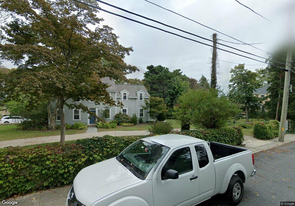
1978 Main Rd Westport, MA 02790
Westport Point NeighborhoodEstimated Value: $723,000 - $1,025,000
1
Bed
1
Bath
948
Sq Ft
$912/Sq Ft
Est. Value
About This Home
This home is located at 1978 Main Rd, Westport, MA 02790 and is currently estimated at $864,896, approximately $912 per square foot. 1978 Main Rd is a home located in Bristol County with nearby schools including Alice A. Macomber Primary School, Westport Elementary School, and Westport Middle-High School.
Ownership History
Date
Name
Owned For
Owner Type
Purchase Details
Closed on
Feb 11, 2022
Sold by
Black Bass 2 Llc
Bought by
Faelli Marina and Lent Anthony
Current Estimated Value
Purchase Details
Closed on
May 31, 2019
Sold by
Ferrari E Steven
Bought by
Black Bass 2 Llc
Create a Home Valuation Report for This Property
The Home Valuation Report is an in-depth analysis detailing your home's value as well as a comparison with similar homes in the area
Home Values in the Area
Average Home Value in this Area
Purchase History
| Date | Buyer | Sale Price | Title Company |
|---|---|---|---|
| Faelli Marina | $580,000 | None Available | |
| Black Bass 2 Llc | -- | -- | |
| Black Bass 2 Llc | -- | -- |
Source: Public Records
Tax History Compared to Growth
Tax History
| Year | Tax Paid | Tax Assessment Tax Assessment Total Assessment is a certain percentage of the fair market value that is determined by local assessors to be the total taxable value of land and additions on the property. | Land | Improvement |
|---|---|---|---|---|
| 2025 | $6,667 | $894,900 | $756,700 | $138,200 |
| 2024 | $6,172 | $798,500 | $666,300 | $132,200 |
| 2023 | $5,595 | $685,700 | $599,100 | $86,600 |
| 2022 | $5,219 | $615,400 | $536,000 | $79,400 |
| 2021 | $4,751 | $551,200 | $471,800 | $79,400 |
| 2020 | $4,509 | $534,900 | $455,500 | $79,400 |
| 2019 | $4,253 | $514,300 | $434,500 | $79,800 |
Source: Public Records
Map
Nearby Homes
- 1881 Main Rd
- 1749 Main Rd
- 1702J Drift Rd
- 1702 Drift Rd
- 1580 Main Rd
- 19 Seabury Ln
- 1346 Main Rd Unit B
- 99 Sylvia Ln
- 238-242 E Beach Rd
- 189 Brayton Point Rd
- 304 Brayton Point Rd
- 255 John Dyer Rd
- Lot 2 Horseneck Rd
- 245 John Dyer Rd
- 225 Hixbridge Rd
- 920 Drift Rd
- 17 Quail Trail
- 101 Adamsville Rd
- Lot 2E Horseneck Rd
- 837 Main Rd
- 1980A/B Main Rd
- 1980 Main Rd
- 1982 Main Rd
- 1974 Main Rd Unit 1976
- 1976 Main Rd
- 1968 Main Rd
- 1970 Main Rd
- 1972 Main Rd
- 1977 Main Road U: Weekly
- 1977 Main Rd
- 1973 Main Rd
- 1985D Main Rd
- 1991 Main Rd Unit WINTER
- 1991 Main Rd Unit VAC RENTAL
- 13 Cunningham Ln
- 1966 Main Hwy
- 1971 Main Rd
- 1982 Main Hwy
- 1990 Main Rd
- 1985-D Main Rd