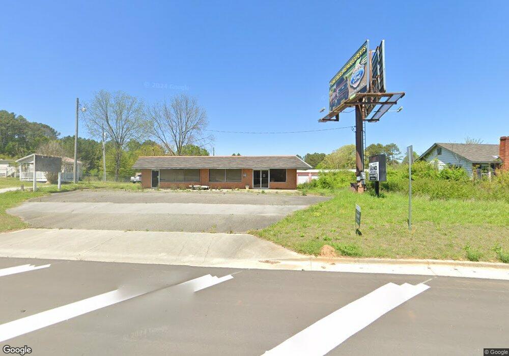
1978 Rockmart Hwy Cedartown, GA 30125
Estimated Value: $173,387
--
Bed
--
Bath
2,028
Sq Ft
$85/Sq Ft
Est. Value
About This Home
This home is located at 1978 Rockmart Hwy, Cedartown, GA 30125 and is currently estimated at $173,387, approximately $85 per square foot. 1978 Rockmart Hwy is a home located in Polk County with nearby schools including Cedar Christian School and Vineyard Harvester Christian Academy.
Ownership History
Date
Name
Owned For
Owner Type
Purchase Details
Closed on
Aug 7, 2024
Sold by
Sorrells Barbara
Bought by
Olajubu Peter Adeniyi
Current Estimated Value
Purchase Details
Closed on
Oct 7, 1999
Sold by
Parmer Erin M
Bought by
Sorrells Stephen and Sorrells Barbara
Purchase Details
Closed on
Feb 26, 1999
Sold by
Jackson Joel S Dvm
Bought by
Parmer Erin M Dvm
Purchase Details
Closed on
Jul 12, 1976
Sold by
King Ralph D
Bought by
Jackson Joel S
Purchase Details
Closed on
Mar 10, 1976
Sold by
Johnson Horace
Bought by
King Ralph D
Purchase Details
Closed on
Jan 16, 1975
Sold by
Grimes Graham
Bought by
Johnson Horace
Purchase Details
Closed on
Jul 31, 1974
Sold by
Tanner Elton
Bought by
Grimes Graham
Purchase Details
Closed on
Jan 19, 1973
Sold by
Brown Jessie F
Bought by
Tanner Elton
Purchase Details
Closed on
Jun 12, 1972
Bought by
Brown Jessie F
Create a Home Valuation Report for This Property
The Home Valuation Report is an in-depth analysis detailing your home's value as well as a comparison with similar homes in the area
Home Values in the Area
Average Home Value in this Area
Purchase History
| Date | Buyer | Sale Price | Title Company |
|---|---|---|---|
| Olajubu Peter Adeniyi | $154,000 | -- | |
| Sorrells Stephen | $54,000 | -- | |
| Parmer Erin M Dvm | $50,000 | -- | |
| Jackson Joel S | -- | -- | |
| King Ralph D | -- | -- | |
| Johnson Horace | -- | -- | |
| Grimes Graham | -- | -- | |
| Tanner Elton | -- | -- | |
| Brown Jessie F | -- | -- |
Source: Public Records
Tax History Compared to Growth
Tax History
| Year | Tax Paid | Tax Assessment Tax Assessment Total Assessment is a certain percentage of the fair market value that is determined by local assessors to be the total taxable value of land and additions on the property. | Land | Improvement |
|---|---|---|---|---|
| 2024 | $310 | $14,823 | $3,360 | $11,463 |
| 2023 | $300 | $12,638 | $1,688 | $10,950 |
| 2022 | $293 | $12,353 | $1,648 | $10,705 |
| 2021 | $289 | $12,024 | $1,600 | $10,424 |
| 2020 | $290 | $12,024 | $1,600 | $10,424 |
| 2019 | $323 | $12,024 | $1,600 | $10,424 |
| 2018 | $331 | $12,024 | $1,600 | $10,424 |
| 2017 | $327 | $12,024 | $1,600 | $10,424 |
| 2016 | $327 | $12,024 | $1,600 | $10,424 |
| 2015 | $328 | $12,024 | $1,600 | $10,424 |
| 2014 | $331 | $12,024 | $1,600 | $10,424 |
Source: Public Records
Map
Nearby Homes
- 256 Cuzzort Rd
- 387 Lindsey Chapel Rd
- 200 Kelly Rd
- 728 Hutto Rd
- 0 Blanche Rd Unit 10609468
- 0 Blanche Rd Unit 7652978
- 618 Valley Rd
- 1522 Collard Valley Rd
- 660 Valley Rd
- 645 Valley Rd
- 209 Ridgewood Rd
- 662 Hillside Dr
- 202 Ridgewood Rd
- 10 Woodglen Dr
- 12 Breckenridge Dr
- 94 Wimberly Hill Loop
- 77 Ben Dr W
- 362 Oakwood Dr
- 0 Coaling Rd Unit 9221-D 10352096
- 0 Coaling Rd Unit 9221-C 10352086
- 1981 Rockmart Hwy
- 0 Hutto Rd Unit 8255727
- 0 Hutto Rd Unit 5905810
- 0 Hutto Rd Unit 5889481
- 0 Hutto Rd Unit 3263360
- 0 Hutto Rd Unit 814 7190277
- 0 Hutto Rd
- 0 Hutto Rd Unit 10251883
- 0 Hutto Rd Unit 7336304
- 0 Hutto Rd Unit 8035588
- 0 Hutto Rd Unit 7192024
- 0 Hutto Rd Unit 7619690
- 0 Hutto Rd Unit 8060319
- 0 Hutto Rd Unit 8161024
- 0 Hutto Rd Unit 8161004
- 0 Hutto Rd Unit 8454464
- 1950 Rockmart Hwy
- 48 Hutto Rd
- 67 Lindsey Chapel Rd
- 56 Hutto Rd