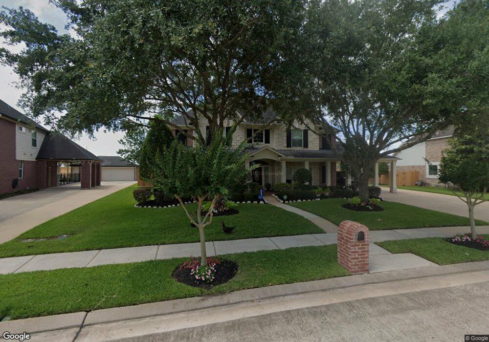
1978 Rolling Stone Dr Friendswood, TX 77546
Estimated Value: $593,676 - $716,000
--
Bed
4
Baths
3,420
Sq Ft
$188/Sq Ft
Est. Value
About This Home
This home is located at 1978 Rolling Stone Dr, Friendswood, TX 77546 and is currently estimated at $642,419, approximately $187 per square foot. 1978 Rolling Stone Dr is a home located in Galveston County with nearby schools including C.W. Cline Elementary School, Windsong Elementary School, and Friendswood Junior High School.
Ownership History
Date
Name
Owned For
Owner Type
Purchase Details
Closed on
Nov 15, 2012
Sold by
Ogden Keith and Ogden Kathleen
Bought by
Decuir Brian and Decuir Erin
Current Estimated Value
Home Financials for this Owner
Home Financials are based on the most recent Mortgage that was taken out on this home.
Original Mortgage
$135,200
Outstanding Balance
$59,339
Interest Rate
3.43%
Mortgage Type
New Conventional
Estimated Equity
$583,080
Purchase Details
Closed on
Feb 20, 2004
Sold by
Imperial Homes Texas Ltd
Bought by
Decuir Brian J and Decuir Erin K
Home Financials for this Owner
Home Financials are based on the most recent Mortgage that was taken out on this home.
Original Mortgage
$279,750
Interest Rate
5.67%
Mortgage Type
Purchase Money Mortgage
Create a Home Valuation Report for This Property
The Home Valuation Report is an in-depth analysis detailing your home's value as well as a comparison with similar homes in the area
Home Values in the Area
Average Home Value in this Area
Purchase History
| Date | Buyer | Sale Price | Title Company |
|---|---|---|---|
| Decuir Brian | -- | None Available | |
| Decuir Brian J | -- | First Southwestern Title Co |
Source: Public Records
Mortgage History
| Date | Status | Borrower | Loan Amount |
|---|---|---|---|
| Open | Decuir Brian | $135,200 | |
| Previous Owner | Decuir Brian J | $279,750 |
Source: Public Records
Tax History Compared to Growth
Tax History
| Year | Tax Paid | Tax Assessment Tax Assessment Total Assessment is a certain percentage of the fair market value that is determined by local assessors to be the total taxable value of land and additions on the property. | Land | Improvement |
|---|---|---|---|---|
| 2025 | $9,414 | $569,036 | $60,480 | $508,556 |
| 2024 | $9,414 | $574,714 | -- | -- |
| 2023 | $9,414 | $522,467 | $0 | $0 |
| 2022 | $10,461 | $474,970 | $60,480 | $414,490 |
| 2021 | $10,184 | $453,320 | $60,480 | $392,840 |
| 2020 | $9,549 | $396,370 | $60,480 | $335,890 |
| 2019 | $10,065 | $396,370 | $60,480 | $335,890 |
| 2018 | $10,124 | $396,370 | $60,480 | $335,890 |
| 2017 | $10,294 | $396,370 | $60,480 | $335,890 |
| 2016 | $10,110 | $396,370 | $60,480 | $335,890 |
| 2015 | $3,215 | $360,990 | $60,480 | $300,510 |
| 2014 | $2,926 | $310,950 | $52,120 | $258,830 |
Source: Public Records
Map
Nearby Homes
- 111 Dunbar Unit 501
- 1718 Avery Ln
- 1536 River Point Dr
- 1564 River Point Dr
- 1804 Anna Way
- 1572 River Point Dr
- 1568 River Point Dr
- 1588 River Point Dr
- 1556 River Point Dr
- 1532 River Point Dr
- 1305 Edgewater Dr
- 2124 Lila Sky Ln
- Jade Plan at Avalon at Friendswood - 60s
- Palladium Plan at Avalon at Friendswood - 70s
- Regatta Plan at Avalon at Friendswood - 60s
- Calypso Plan at Avalon at Friendswood - 70s
- Carnelian Plan at Avalon at Friendswood - 60s
- Larimar Plan at Avalon at Friendswood - 60s
- Palisade Plan at Avalon at Friendswood - 70s
- Bonita Plan at Avalon at Friendswood - 70s
- 1970 Rolling Stone Dr
- 1986 Rolling Stone Dr
- 1962 Rolling Stone Dr
- 1992 Rolling Stone Dr
- 1971 Rolling Stone Dr
- 1963 Rolling Stone Dr
- 1987 Rolling Stone Dr
- 1954 Rolling Stone Dr
- 1911 Silver Point Ct
- 111 Dunbar #703 Unit 703
- LOT 10 Estate Ln
- 111 Dunbar Unit 803
- 111 Dunbar #803 Unit 803
- 111 Dunbar Unit 402
- 111 Dunbar Unit 603
- 16732 Cr 127
- Bk4Lot6 Southfield Dr
- Bk3Lot6 Centerfield Dr
- Bk4Lot4 Southfield Dr