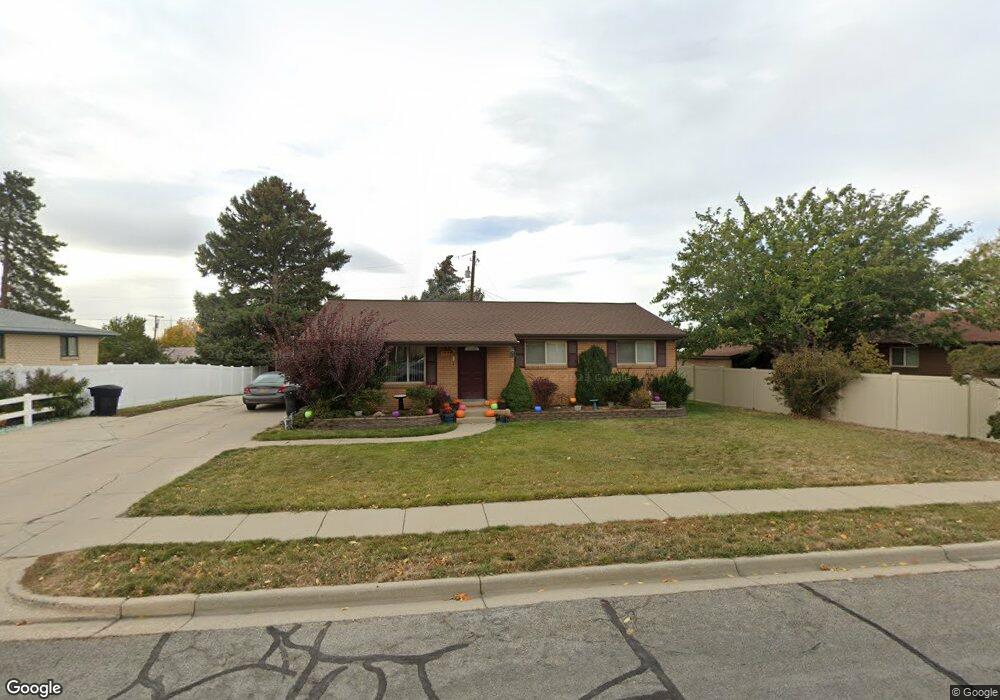
1978 S 700 W Woods Cross, UT 84087
Estimated Value: $454,000 - $482,483
5
Beds
2
Baths
2,492
Sq Ft
$189/Sq Ft
Est. Value
About This Home
This home is located at 1978 S 700 W, Woods Cross, UT 84087 and is currently estimated at $471,871, approximately $189 per square foot. 1978 S 700 W is a home located in Davis County with nearby schools including Woods Cross Elementary School, South Davis Junior High School, and Woods Cross High School.
Ownership History
Date
Name
Owned For
Owner Type
Purchase Details
Closed on
Nov 10, 2011
Sold by
Burningham Daniel T
Bought by
Burningham Dan T
Current Estimated Value
Home Financials for this Owner
Home Financials are based on the most recent Mortgage that was taken out on this home.
Original Mortgage
$146,454
Interest Rate
3.22%
Mortgage Type
New Conventional
Purchase Details
Closed on
Mar 21, 2008
Sold by
Burningham Daniel T
Bought by
Burningham Daniel T
Home Financials for this Owner
Home Financials are based on the most recent Mortgage that was taken out on this home.
Original Mortgage
$148,500
Interest Rate
5.72%
Mortgage Type
New Conventional
Purchase Details
Closed on
Jan 21, 1999
Sold by
Burningham Mary Lynn and Burningham Donald Troy
Bought by
Burningham Daniel T
Home Financials for this Owner
Home Financials are based on the most recent Mortgage that was taken out on this home.
Original Mortgage
$103,850
Interest Rate
6.63%
Create a Home Valuation Report for This Property
The Home Valuation Report is an in-depth analysis detailing your home's value as well as a comparison with similar homes in the area
Home Values in the Area
Average Home Value in this Area
Purchase History
| Date | Buyer | Sale Price | Title Company |
|---|---|---|---|
| Burningham Dan T | -- | Backman Title Servic | |
| Burningham Daniel T | -- | First American Title | |
| Burningham Daniel T | -- | Backman Stewart Title Servic |
Source: Public Records
Mortgage History
| Date | Status | Borrower | Loan Amount |
|---|---|---|---|
| Closed | Burningham Dan T | $146,454 | |
| Closed | Burningham Daniel T | $148,500 | |
| Closed | Burningham Daniel T | $103,850 |
Source: Public Records
Tax History Compared to Growth
Tax History
| Year | Tax Paid | Tax Assessment Tax Assessment Total Assessment is a certain percentage of the fair market value that is determined by local assessors to be the total taxable value of land and additions on the property. | Land | Improvement |
|---|---|---|---|---|
| 2025 | $2,571 | $215,600 | $112,540 | $103,060 |
| 2024 | $2,524 | $216,700 | $121,213 | $95,487 |
| 2023 | $2,467 | $394,000 | $160,874 | $233,126 |
| 2022 | $2,459 | $218,350 | $69,900 | $148,450 |
| 2021 | $2,151 | $302,000 | $102,699 | $199,301 |
| 2020 | $1,935 | $268,000 | $97,789 | $170,211 |
| 2019 | $1,931 | $264,000 | $91,108 | $172,892 |
| 2018 | $1,776 | $240,000 | $89,565 | $150,435 |
| 2016 | $1,462 | $107,800 | $38,596 | $69,204 |
| 2015 | $1,378 | $97,240 | $38,596 | $58,644 |
| 2014 | $1,365 | $98,707 | $38,596 | $60,111 |
| 2013 | -- | $90,956 | $21,811 | $69,145 |
Source: Public Records
Map
Nearby Homes