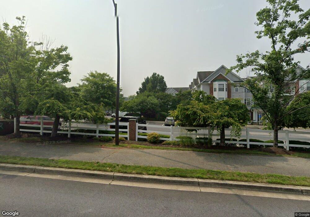
1978 Scotts Crossing Way Annapolis, MD 21401
Parole NeighborhoodEstimated Value: $336,099 - $353,000
--
Bed
2
Baths
1,104
Sq Ft
$312/Sq Ft
Est. Value
About This Home
This home is located at 1978 Scotts Crossing Way, Annapolis, MD 21401 and is currently estimated at $344,775, approximately $312 per square foot. 1978 Scotts Crossing Way is a home located in Anne Arundel County with nearby schools including Rolling Knolls Elementary School, Wiley H. Bates Middle School, and Annapolis High School.
Ownership History
Date
Name
Owned For
Owner Type
Purchase Details
Closed on
Apr 2, 2007
Sold by
Bisson John B
Bought by
Crouse John R and Crouse Joann J
Current Estimated Value
Purchase Details
Closed on
Mar 29, 2007
Sold by
Bisson John B
Bought by
Crouse John R and Crouse Joann J
Purchase Details
Closed on
Nov 8, 2002
Sold by
Tsamouras Daniel
Bought by
Bisson John B and Nisson John B
Purchase Details
Closed on
Feb 9, 2001
Sold by
Sturbridge Scott'S Crossing Llc
Bought by
Tsamouras Daniel and Tsamouras Joan
Create a Home Valuation Report for This Property
The Home Valuation Report is an in-depth analysis detailing your home's value as well as a comparison with similar homes in the area
Home Values in the Area
Average Home Value in this Area
Purchase History
| Date | Buyer | Sale Price | Title Company |
|---|---|---|---|
| Crouse John R | $280,000 | -- | |
| Crouse John R | $280,000 | -- | |
| Bisson John B | $167,100 | -- | |
| Tsamouras Daniel | $120,703 | -- |
Source: Public Records
Mortgage History
| Date | Status | Borrower | Loan Amount |
|---|---|---|---|
| Closed | Tsamouras Daniel | -- |
Source: Public Records
Tax History Compared to Growth
Tax History
| Year | Tax Paid | Tax Assessment Tax Assessment Total Assessment is a certain percentage of the fair market value that is determined by local assessors to be the total taxable value of land and additions on the property. | Land | Improvement |
|---|---|---|---|---|
| 2025 | $2,565 | $270,400 | $135,200 | $135,200 |
| 2024 | $2,565 | $253,867 | $0 | $0 |
| 2023 | $2,494 | $237,333 | $0 | $0 |
| 2022 | $2,307 | $220,800 | $110,400 | $110,400 |
| 2021 | $4,577 | $217,100 | $0 | $0 |
| 2020 | $2,253 | $213,400 | $0 | $0 |
| 2019 | $4,369 | $209,700 | $104,800 | $104,900 |
| 2018 | $2,126 | $209,700 | $104,800 | $104,900 |
| 2017 | $2,157 | $209,700 | $0 | $0 |
| 2016 | -- | $209,700 | $0 | $0 |
| 2015 | -- | $209,700 | $0 | $0 |
| 2014 | -- | $209,700 | $0 | $0 |
Source: Public Records
Map
Nearby Homes
- 2000 Monticello Dr
- 2075 Old Admiral Ct
- 2000 Phillips Terrace Unit 4
- 2026 Gov Thomas Bladen Way Unit 102
- 2026 Gov Thomas Bladen Way Unit 203
- 668 N Bestgate Rd
- 341 Dubois Rd
- 343 Dubois Rd
- 553 Choptank Cove Ct
- 27 Dorsey Ave
- 25 Dorsey Ave
- 14 A Dorsey Ave
- 8 Dorsey Ave
- 228 Dubois Rd
- 1915 Towne Centre Blvd Unit 606
- 1915 Towne Centre Blvd Unit 1001
- 1915 Towne Centre Blvd Unit 301
- 1915 Towne Centre Blvd Unit 502
- 1915 Towne Centre Blvd Unit 807
- 1915 Towne Centre Blvd Unit 707
- 1978 Scotts Crossing Way Unit 301
- 1978 Scotts Crossing Way Unit 103
- 1978 Scotts Crossing Way
- 1978 Scotts Crossing Way Unit 3
- 1978 Scotts Crossing Way
- 1978 Scotts Crossing Way Unit 304
- 1978 Scotts Crossing Way Unit 302
- 1978 Scotts Crossing Way
- 1978 Scotts Crossing Way Unit 202
- 1978 Scotts Crossing Way Unit 201
- 1978 Scotts Crossing Way
- 1978 Scotts Crossing Way
- 1978 Scotts Crossing Way
- 1978 Scotts Crossing Way
- 1978 Scotts Crossing Way
- 1978 Scotts Crossing Way Unit 302
- 1978 Scotts Crossing Way Unit 2
- 1978 Scotts Crossing Way Unit 202
- 1978 Scotts Crossing Way Unit 201
- 1980 Scotts Crossing Way Unit 204