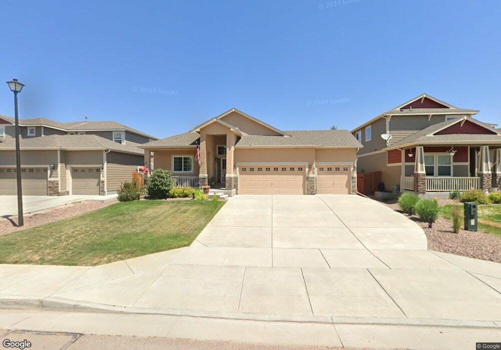
1978 Wagon Gap Trail Monument, CO 80132
Estimated Value: $592,000 - $647,189
5
Beds
3
Baths
3,204
Sq Ft
$194/Sq Ft
Est. Value
About This Home
This home is located at 1978 Wagon Gap Trail, Monument, CO 80132 and is currently estimated at $622,797, approximately $194 per square foot. 1978 Wagon Gap Trail is a home located in El Paso County with nearby schools including Bear Creek Elementary School, Lewis-Palmer Middle School, and Lewis-Palmer High School.
Ownership History
Date
Name
Owned For
Owner Type
Purchase Details
Closed on
Dec 2, 2015
Sold by
Aspen View Homes Llc
Bought by
Davis Keith R and Davis Marion L
Current Estimated Value
Home Financials for this Owner
Home Financials are based on the most recent Mortgage that was taken out on this home.
Original Mortgage
$334,161
Outstanding Balance
$263,734
Interest Rate
3.81%
Mortgage Type
New Conventional
Estimated Equity
$359,063
Create a Home Valuation Report for This Property
The Home Valuation Report is an in-depth analysis detailing your home's value as well as a comparison with similar homes in the area
Home Values in the Area
Average Home Value in this Area
Purchase History
| Date | Buyer | Sale Price | Title Company |
|---|---|---|---|
| Davis Keith R | $351,749 | Unified Title Co |
Source: Public Records
Mortgage History
| Date | Status | Borrower | Loan Amount |
|---|---|---|---|
| Open | Davis Keith R | $334,161 |
Source: Public Records
Tax History
| Year | Tax Paid | Tax Assessment Tax Assessment Total Assessment is a certain percentage of the fair market value that is determined by local assessors to be the total taxable value of land and additions on the property. | Land | Improvement |
|---|---|---|---|---|
| 2025 | $2,768 | $43,570 | -- | -- |
| 2024 | $2,185 | $42,970 | $6,700 | $36,270 |
| 2022 | $1,676 | $29,790 | $5,600 | $24,190 |
| 2021 | $1,733 | $30,640 | $5,760 | $24,880 |
| 2020 | $1,545 | $27,190 | $5,150 | $22,040 |
| 2019 | $1,538 | $27,190 | $5,150 | $22,040 |
| 2018 | $1,358 | $24,000 | $4,610 | $19,390 |
| 2017 | $1,487 | $24,000 | $4,610 | $19,390 |
| 2016 | $1,847 | $24,280 | $4,600 | $19,680 |
| 2015 | $700 | $9,210 | $9,210 | $0 |
| 2014 | $186 | $2,350 | $2,350 | $0 |
Source: Public Records
Map
Nearby Homes
- 16613 Elk Valley Trail
- 2064 Bobcat Valley Ct
- 1806 Peak Prairie Ln
- 16406 Hay Barn Heights
- 2058 Peak Prairie Ln
- 2185 Wagon Gap Trail
- 17215 Buffalo Valley Path
- 16269 Alpine Sorrel Dr
- 2149 Indian Balsam Dr
- 2159 Indian Balsam Dr
- 16487 Mountain Flax Dr
- 16478 Mountain Flax Dr
- 16015 Mountain Flax Dr
- 17231 Hulls Way
- 2266 Prairie Smoke Dr
- 16407 Mountain Flax Dr
- 2360 Indian Balsam Dr
- 17010 Mountain Lake Dr
- 2315 Coyote Mint Dr
- 16143 Mountain Flax Dr
- 1970 Wagon Gap Trail
- 1986 Wagon Gap Trail
- 1962 Wagon Gap Trail
- 16778 Buffalo Valley Path
- 1994 Wagon Gap Trail
- 2002 Wagon Gap Trail
- 16772 Buffalo Valley Path
- 16784 Buffalo Valley Path
- 1977 Wagon Gap Trail
- 1985 Wagon Gap Trail
- 16760 Buffalo Valley Path
- 1993 Wagon Gap Trail
- 1969 Wagon Gap Trail
- 2001 Wagon Gap Trail
- 1961 Wagon Gap Trail
- 16766 Buffalo Valley Path
- 16796 Buffalo Valley Path
- 2009 Wagon Gap Trail
- 1953 Wagon Gap Trail
- 16754 Buffalo Valley Path
Your Personal Tour Guide
Ask me questions while you tour the home.