19782 County Road D Archbold, OH 43502
Estimated Value: $328,000 - $465,000
5
Beds
2
Baths
1,404
Sq Ft
$275/Sq Ft
Est. Value
About This Home
This home is located at 19782 County Road D, Archbold, OH 43502 and is currently estimated at $386,527, approximately $275 per square foot. 19782 County Road D is a home located in Fulton County with nearby schools including Pettisville Elementary School and Pettisville High School.
Ownership History
Date
Name
Owned For
Owner Type
Purchase Details
Closed on
Jun 20, 2024
Sold by
Weber Isaac C and Weber Leslie A
Bought by
Sauder Daniel and Sauder Kathryn
Current Estimated Value
Purchase Details
Closed on
Jul 13, 2017
Sold by
Benfield Julia S and Benfield Robert
Bought by
Weber Isaac C and Weber Leslie A
Purchase Details
Closed on
May 5, 2005
Sold by
Yoder Eloise M
Bought by
Benfield Julia S
Home Financials for this Owner
Home Financials are based on the most recent Mortgage that was taken out on this home.
Original Mortgage
$177,175
Interest Rate
6.05%
Mortgage Type
FHA
Purchase Details
Closed on
Jan 1, 1990
Bought by
Miller Lamar L Trustee
Create a Home Valuation Report for This Property
The Home Valuation Report is an in-depth analysis detailing your home's value as well as a comparison with similar homes in the area
Purchase History
| Date | Buyer | Sale Price | Title Company |
|---|---|---|---|
| Sauder Daniel | $417,500 | None Listed On Document | |
| Weber Isaac C | $175,000 | Attorney | |
| Benfield Julia S | $186,500 | -- | |
| Miller Lamar L Trustee | -- | -- |
Source: Public Records
Mortgage History
| Date | Status | Borrower | Loan Amount |
|---|---|---|---|
| Previous Owner | Benfield Julia S | $177,175 |
Source: Public Records
Tax History
| Year | Tax Paid | Tax Assessment Tax Assessment Total Assessment is a certain percentage of the fair market value that is determined by local assessors to be the total taxable value of land and additions on the property. | Land | Improvement |
|---|---|---|---|---|
| 2024 | $3,617 | $78,200 | $22,720 | $55,480 |
| 2023 | $3,593 | $78,200 | $22,720 | $55,480 |
| 2022 | $3,035 | $61,610 | $18,940 | $42,670 |
| 2021 | $3,061 | $61,610 | $18,940 | $42,670 |
| 2020 | $2,914 | $61,610 | $18,940 | $42,670 |
| 2019 | $2,549 | $53,550 | $15,680 | $37,870 |
| 2018 | $2,239 | $53,550 | $15,680 | $37,870 |
| 2017 | $2,153 | $53,550 | $15,680 | $37,870 |
| 2016 | $2,141 | $49,950 | $15,680 | $34,270 |
| 2015 | $1,975 | $49,950 | $15,680 | $34,270 |
| 2014 | $1,981 | $49,950 | $15,680 | $34,270 |
| 2013 | $2,180 | $48,620 | $10,890 | $37,730 |
Source: Public Records
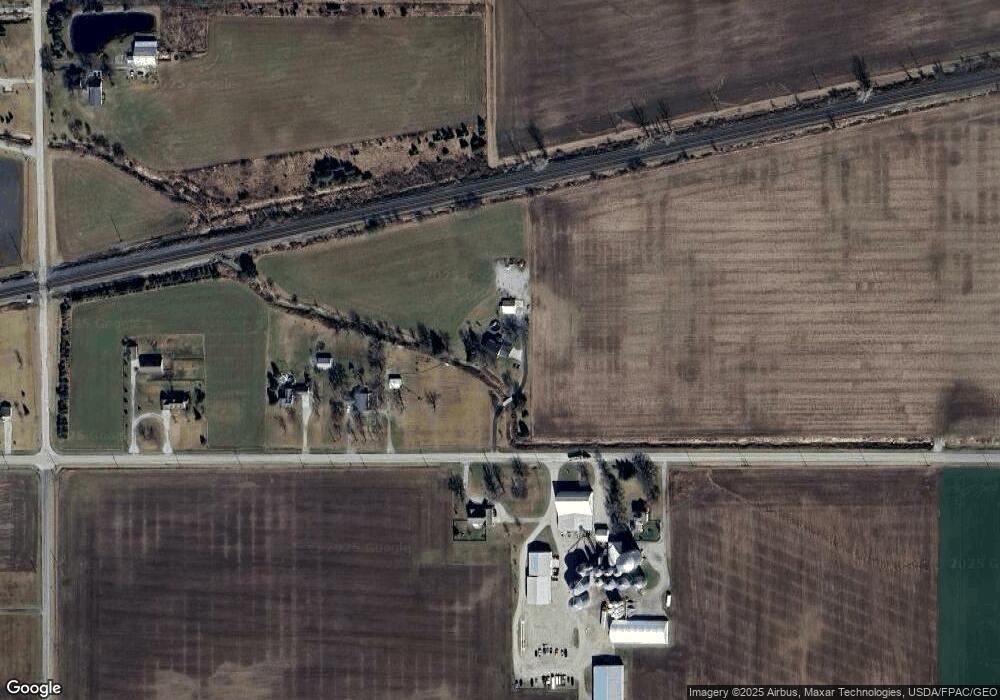
Map
Nearby Homes
- 4427 County Road 19
- 17830 County Road C
- 18857 U S 20a
- 408 Ditto St
- 808 West St
- 301 N Pointe Dr
- 21530 County Road A
- 433 Primrose Ln
- 226 Burke St
- 552 Quail Run
- 202 Short-Buehrer Rd
- 224 Hawthorn Dr
- 0 Lafayette St
- 940 Fairway Ln
- 744 Fairway Dr Unit 26
- 749 Parkside Dr
- 594 Douglas Dr
- 420 Clover Ln
- 263 W Chestnut St
- 252 W Chestnut St
- 19782 County Road D
- 19818 County Road D
- 19864 County Road D
- 19970 County Road D
- 4208 County Road 20
- 20020 County Road D
- 4201 County Road 20
- 20130 County Road D
- 3921 County Road 20
- 4360 County Road 20
- 4161 County Road 20
- 20147 County Road D
- 3735 County Road 20
- 3700 Township Road 411
- 4243 County Road 20
- 9000 County Road 20
- 8485 County Road 20
- 0 County Road 20
- 20221 County Road D
- 4518 County Road 20
Your Personal Tour Guide
Ask me questions while you tour the home.