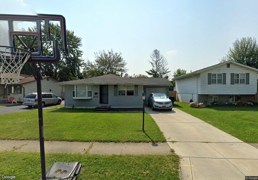
1979 Brimfield Ct Columbus, OH 43229
Forest Park East NeighborhoodEstimated Value: $197,000 - $282,000
3
Beds
1
Bath
896
Sq Ft
$248/Sq Ft
Est. Value
About This Home
This home is located at 1979 Brimfield Ct, Columbus, OH 43229 and is currently estimated at $222,627, approximately $248 per square foot. 1979 Brimfield Ct is a home located in Franklin County with nearby schools including Forest Park Elementary School, Woodward Park Middle School, and Northland High School.
Ownership History
Date
Name
Owned For
Owner Type
Purchase Details
Closed on
Dec 23, 2009
Sold by
Sage Realty Partners Ltd
Bought by
Red Zone Properties I Llc
Current Estimated Value
Purchase Details
Closed on
Aug 16, 2006
Sold by
Jpmorgan Chase Bank
Bought by
Sage Realty Partners Ltd
Purchase Details
Closed on
Jan 10, 2006
Sold by
Mcpherson Nancy A and Case #05Cve03 3339
Bought by
Chase Manhattan Bank and Imc Home Equity Loan Owner Trust 1998-7
Create a Home Valuation Report for This Property
The Home Valuation Report is an in-depth analysis detailing your home's value as well as a comparison with similar homes in the area
Home Values in the Area
Average Home Value in this Area
Purchase History
| Date | Buyer | Sale Price | Title Company |
|---|---|---|---|
| Red Zone Properties I Llc | -- | Title Co Lt | |
| Sage Realty Partners Ltd | $89,000 | Titlequest | |
| Chase Manhattan Bank | $75,000 | None Available |
Source: Public Records
Tax History Compared to Growth
Tax History
| Year | Tax Paid | Tax Assessment Tax Assessment Total Assessment is a certain percentage of the fair market value that is determined by local assessors to be the total taxable value of land and additions on the property. | Land | Improvement |
|---|---|---|---|---|
| 2025 | $2,716 | $59,260 | $16,240 | $43,020 |
| 2024 | $2,716 | $59,260 | $16,240 | $43,020 |
| 2023 | $2,682 | $59,255 | $16,240 | $43,015 |
| 2022 | $2,043 | $38,440 | $9,630 | $28,810 |
| 2021 | $2,349 | $38,440 | $9,630 | $28,810 |
| 2020 | $2,050 | $38,440 | $9,630 | $28,810 |
| 2019 | $1,811 | $29,120 | $7,140 | $21,980 |
| 2018 | $1,702 | $29,120 | $7,140 | $21,980 |
| 2017 | $1,708 | $29,120 | $7,140 | $21,980 |
| 2016 | $1,605 | $23,630 | $7,070 | $16,560 |
| 2015 | $1,462 | $23,630 | $7,070 | $16,560 |
| 2014 | $1,465 | $23,630 | $7,070 | $16,560 |
| 2013 | $820 | $26,810 | $7,070 | $19,740 |
Source: Public Records
Map
Nearby Homes
- 5726 Beechcroft Rd Unit J
- 5570 Maple Canyon Ave
- 5732 Beechcroft Rd Unit B
- 5458 Sumac Loop S
- 5399 Teakwood Ct
- 5396 Teakwood Ct
- 5485 Tamarack Blvd
- 1752 Pine Tree St S Unit H
- 5762 Pine Tree St W Unit D
- 5511 Parkshire Dr Unit 5511
- 5486 Pine Bluff Rd
- 5556 Parkshire Dr Unit 5556
- 5885 Beechcroft Rd Unit 116
- 1687 Brookfield Square S
- 2208 Pine Knoll Ave
- 2294 Teakwood Dr
- 1638 Arrowood Loop N
- 2470 Carolina Ave Unit 66
- 6035 Karl Rd
- 2259 Tuliptree Ave
- 1973 Brimfield Ct
- 1987 Brimfield Ct
- 1967 Brimfield Ct
- 1982 Brookfield Rd
- 1995 Brimfield Ct
- 1974 Brookfield Rd
- 1988 Brookfield Rd
- 1966 Brookfield Rd
- 1961 Brimfield Ct
- 1996 Brookfield Rd
- 1978 Brimfield Ct
- 1972 Brimfield Ct
- 1984 Brimfield Ct
- 1958 Brookfield Rd
- 1964 Brimfield Ct
- 1999 Brimfield Ct
- 1992 Brimfield Ct
- 1953 Brimfield Ct
- 2004 Brookfield Rd
- 1950 Brookfield Rd