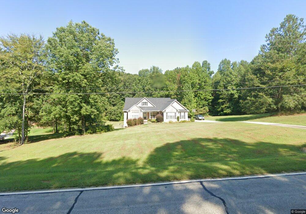
1979 Highway 59 Commerce, GA 30530
Estimated Value: $440,000 - $575,000
3
Beds
2
Baths
2,429
Sq Ft
$204/Sq Ft
Est. Value
About This Home
This home is located at 1979 Highway 59, Commerce, GA 30530 and is currently estimated at $495,214, approximately $203 per square foot. 1979 Highway 59 is a home located in Banks County with nearby schools including Banks County Primary School, Banks County Elementary School, and Banks County Middle School.
Ownership History
Date
Name
Owned For
Owner Type
Purchase Details
Closed on
Apr 16, 2008
Sold by
Kochy Barry
Bought by
Nichols Tim and Nichols Jennifer
Current Estimated Value
Create a Home Valuation Report for This Property
The Home Valuation Report is an in-depth analysis detailing your home's value as well as a comparison with similar homes in the area
Home Values in the Area
Average Home Value in this Area
Purchase History
| Date | Buyer | Sale Price | Title Company |
|---|---|---|---|
| Nichols Tim | $57,887 | -- |
Source: Public Records
Tax History
| Year | Tax Paid | Tax Assessment Tax Assessment Total Assessment is a certain percentage of the fair market value that is determined by local assessors to be the total taxable value of land and additions on the property. | Land | Improvement |
|---|---|---|---|---|
| 2025 | $3,408 | $188,289 | $22,004 | $166,285 |
| 2024 | $3,408 | $180,604 | $20,003 | $160,601 |
| 2023 | $3,519 | $155,744 | $17,620 | $138,124 |
| 2022 | $2,801 | $135,302 | $14,980 | $120,322 |
| 2021 | $2,650 | $120,593 | $11,275 | $109,318 |
| 2020 | $2,508 | $111,382 | $8,629 | $102,753 |
| 2019 | $2,521 | $111,382 | $8,629 | $102,753 |
| 2018 | $2,355 | $102,523 | $7,436 | $95,087 |
| 2017 | $2,329 | $97,307 | $6,466 | $90,841 |
| 2016 | $2,396 | $97,307 | $6,466 | $90,841 |
| 2015 | $2,731 | $97,307 | $6,466 | $90,841 |
| 2014 | $2,731 | $117,749 | $26,908 | $90,841 |
| 2013 | -- | $117,748 | $26,908 | $90,840 |
Source: Public Records
Map
Nearby Homes
- 2015 Highway 59
- 333 Sims Bridge Rd
- 119 Gordon Rd
- 0 Freedom Ln Unit 9B
- 0 Freedom Ln Unit 18C 10380663
- 0 Freedom Ln Unit 9D
- 0 Freedom Ln Unit 9C
- 0 Freedom Ln Unit 18B 10379747
- 0 Freedom Ln Unit 9E
- 144 Chestnut Trail
- 112 White Oak Trail
- 166 Freedom Ln
- 1183 Wilson Bridge Rd
- 224 Hebron Rd
- 150 Harden Bridge Rd
- 823 Highway 63
- 150 Buckeye Trails Dr
- 153 Buckeye Trails Dr
- 0 McDonald Cir Unit 7694829
- 731 Borders Rd
- 1971 Georgia 59
- 1680 Highway 164
- 1680 Ga Hwy 164
- 0 Sims Bridge Rd Unit 2771532
- 0 Sims Bridge Rd Unit CM913061
- 0 Sims Bridge Rd Unit 1 8164638
- 0 Sims Bridge Rd Unit 6581235
- 0 Sims Bridge Rd Unit 8617340
- 0 Sims Bridge Rd Unit 8494638
- 1680 Georgia 164
- 2004 Highway 59
- 1676 Highway 164
- 2010 Highway 59
- 130 Sims Bridge Rd
- 2015 Georgia 59
- 2015 Highway 59
- 127 Sims Bridge Rd
- 1857 Georgia 59
- 1626 Georgia 164
- 186 Sims Bridge Rd
Your Personal Tour Guide
Ask me questions while you tour the home.