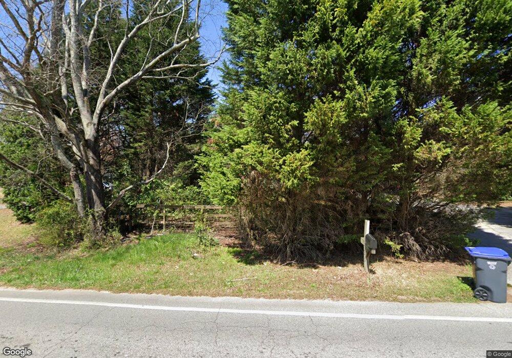
1979 Pinehurst Rd Snellville, GA 30078
Estimated Value: $281,000 - $322,000
3
Beds
1
Bath
1,376
Sq Ft
$216/Sq Ft
Est. Value
About This Home
This home is located at 1979 Pinehurst Rd, Snellville, GA 30078 and is currently estimated at $297,562, approximately $216 per square foot. 1979 Pinehurst Rd is a home located in Gwinnett County with nearby schools including Pharr Elementary School, Couch Middle School, and Grayson High School.
Ownership History
Date
Name
Owned For
Owner Type
Purchase Details
Closed on
Jan 21, 2022
Sold by
Luong Thanh Lan
Bought by
Pham Thanh Lan and Saccomanno Salvatore
Current Estimated Value
Purchase Details
Closed on
May 19, 2005
Sold by
Saccomanno Thanh L P
Bought by
Saccomanno Thanh L P and Saccomanno Salvatore
Home Financials for this Owner
Home Financials are based on the most recent Mortgage that was taken out on this home.
Original Mortgage
$150,000
Interest Rate
5.8%
Purchase Details
Closed on
Aug 10, 1998
Sold by
Tigner William L and Tigner Wm L
Bought by
Tigner Wm L and Wm Lee
Create a Home Valuation Report for This Property
The Home Valuation Report is an in-depth analysis detailing your home's value as well as a comparison with similar homes in the area
Home Values in the Area
Average Home Value in this Area
Purchase History
| Date | Buyer | Sale Price | Title Company |
|---|---|---|---|
| Pham Thanh Lan | -- | -- | |
| Saccomanno Thanh L P | $150,000 | -- | |
| Luong Thanh L P | $150,000 | -- | |
| Tigner Wm L | -- | -- | |
| Tigner William Lee | $97,000 | -- |
Source: Public Records
Mortgage History
| Date | Status | Borrower | Loan Amount |
|---|---|---|---|
| Previous Owner | Luong Thanh L P | $150,000 | |
| Closed | Tigner William Lee | -- |
Source: Public Records
Tax History Compared to Growth
Tax History
| Year | Tax Paid | Tax Assessment Tax Assessment Total Assessment is a certain percentage of the fair market value that is determined by local assessors to be the total taxable value of land and additions on the property. | Land | Improvement |
|---|---|---|---|---|
| 2024 | $1,963 | $82,120 | $22,200 | $59,920 |
| 2023 | $1,963 | $84,520 | $26,000 | $58,520 |
| 2022 | $1,695 | $68,760 | $21,600 | $47,160 |
| 2021 | $1,495 | $57,240 | $17,200 | $40,040 |
| 2020 | $1,659 | $50,160 | $14,400 | $35,760 |
| 2019 | $1,656 | $50,160 | $14,400 | $35,760 |
| 2018 | $1,657 | $49,960 | $12,400 | $37,560 |
| 2016 | $1,429 | $41,200 | $11,000 | $30,200 |
| 2015 | $1,284 | $37,840 | $11,000 | $26,840 |
| 2014 | $1,234 | $36,320 | $11,000 | $25,320 |
Source: Public Records
Map
Nearby Homes
- 2274 Amber Woods Dr
- 2256 Windsor Dr SW
- 2207 Windsor Dr Unit 2
- 2272 Kimberley Way Unit 1
- 2194 Meadow Dr
- 2435 Hickory Station Cir
- 1836 Autumn Ct
- 2560 Silver King Dr SW
- 2183 Chaparral Dr
- 2842 Ally Carol Place
- 2841 Ally Carol Place
- 3383 Thurgood Ct Unit 5
- 3385 Thurgood Ct Unit 4
- 3387 Thurgood Ct Unit 3
- 3389 Thurgood Ct Unit 2
- 3391 Thurgood Ct Unit 1
- 3383 Thurgood Ct
- 3385 Thurgood Ct
- 3387 Thurgood Ct
- 2268 Valley Creek Cir
- 1989 Pinehurst Rd
- 100 Pinehurst Rd
- 2280 Roxboro Dr
- 2264 Valley Creek Cir
- 2273 Valley Creek Cir
- 2269 Valley Creek Cir
- 2256 Pinehurst Rd
- 2246 Windsor Dr
- 2284 Amber Woods Dr
- 2285 Roxboro Dr
- 2290 Roxboro Dr
- 2265 Valley Creek Cir
- 2260 Valley Creek Cir
- 2236 Windsor Dr
- 2294 Amber Woods Dr
- 2305 Roxboro Dr
- 2236 Windsor Dr SW
- 2267 Amber Woods Dr
- 2300 Roxboro Dr
