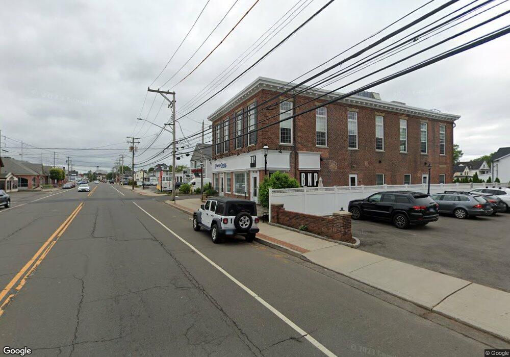
1979 Post Rd Fairfield, CT 06824
Fairfield Center NeighborhoodEstimated Value: $3,117,091
Studio
--
Bath
7,056
Sq Ft
$442/Sq Ft
Est. Value
About This Home
This home is located at 1979 Post Rd, Fairfield, CT 06824 and is currently estimated at $3,117,091, approximately $441 per square foot. 1979 Post Rd is a home located in Fairfield County with nearby schools including Riverfield Elementary School, Roger Ludlowe Middle School, and Fairfield Ludlowe High School.
Ownership History
Date
Name
Owned For
Owner Type
Purchase Details
Closed on
Mar 23, 1998
Sold by
Oracheff Robert
Bought by
Finkel David P and Finkel Katherine M
Current Estimated Value
Home Financials for this Owner
Home Financials are based on the most recent Mortgage that was taken out on this home.
Original Mortgage
$800,000
Outstanding Balance
$145,059
Interest Rate
6.92%
Mortgage Type
Commercial
Estimated Equity
$2,972,032
Create a Home Valuation Report for This Property
The Home Valuation Report is an in-depth analysis detailing your home's value as well as a comparison with similar homes in the area
Home Values in the Area
Average Home Value in this Area
Purchase History
| Date | Buyer | Sale Price | Title Company |
|---|---|---|---|
| Finkel David P | $1,000,000 | -- | |
| Finkel David P | $1,000,000 | -- |
Source: Public Records
Mortgage History
| Date | Status | Borrower | Loan Amount |
|---|---|---|---|
| Open | Finkel David P | $800,000 | |
| Closed | Finkel David P | $800,000 |
Source: Public Records
Tax History
| Year | Tax Paid | Tax Assessment Tax Assessment Total Assessment is a certain percentage of the fair market value that is determined by local assessors to be the total taxable value of land and additions on the property. | Land | Improvement |
|---|---|---|---|---|
| 2025 | $41,765 | $1,471,120 | $774,550 | $696,570 |
| 2024 | $41,044 | $1,471,120 | $774,550 | $696,570 |
| 2023 | $40,471 | $1,471,120 | $774,550 | $696,570 |
| 2022 | $40,073 | $1,471,120 | $774,550 | $696,570 |
| 2021 | $39,691 | $1,471,120 | $774,550 | $696,570 |
| 2020 | $28,720 | $1,072,050 | $570,780 | $501,270 |
| 2019 | $28,720 | $1,072,050 | $570,780 | $501,270 |
| 2018 | $28,259 | $1,072,050 | $570,780 | $501,270 |
| 2017 | $27,680 | $1,072,050 | $570,780 | $501,270 |
| 2016 | $27,284 | $1,072,050 | $570,780 | $501,270 |
| 2015 | $27,682 | $1,116,640 | $676,760 | $439,880 |
| 2014 | $27,246 | $1,116,640 | $676,760 | $439,880 |
Source: Public Records
Map
Nearby Homes
- 24 Bridget Ln
- 88 Overhill Rd
- 188 Henderson Rd
- 245 Unquowa Rd Unit 82
- 127 Paul Place
- 75 Spinning Wheel Rd
- 464 Ruane St
- 49 South St
- 78 Catherine Terrace
- 110 Alden St
- 110 Pratt St
- 647 Bronson Rd
- 570 Unquowa Rd
- 610 Unquowa Rd
- 187 Catherine Terrace
- 345 Reef Rd Unit B6
- 345 Reef Rd Unit C9
- 28 Michaela Cir
- 88 Veres St
- 510 Reef Rd
- 25 Beaumont St
- 27 Beaumont St
- 29 Beaumont St
- 1983 Post Rd
- 40 Beaumont St Unit 40
- 23 Beaumont St
- 38 Beaumont St
- 31 Beaumont St
- 41 Beaumont St
- 45 Beaumont St
- 33 Beaumont St
- 1949 Post Rd
- 58 Beaumont St
- 66 Beaumont St
- 65 Beaumont St
- 65 Beaumont St Unit 1
- 46 Granville St
- 63 Beaumont St
- 76 Beaumont St
- 58 Granville St
Your Personal Tour Guide
Ask me questions while you tour the home.