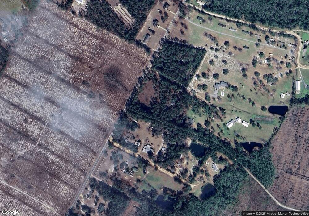
1979 Post Rd Hortense, GA 31543
Estimated Value: $152,000 - $266,000
--
Bed
2
Baths
1,338
Sq Ft
$153/Sq Ft
Est. Value
About This Home
This home is located at 1979 Post Rd, Hortense, GA 31543 and is currently estimated at $204,715, approximately $153 per square foot. 1979 Post Rd is a home located in Wayne County with nearby schools including Jesup Elementary School, Arthur Williams Middle School, and Wayne County High School.
Ownership History
Date
Name
Owned For
Owner Type
Purchase Details
Closed on
Jun 30, 2022
Sold by
Harper Steve R
Bought by
Nail Rafael Council and Nail Roberta Brown
Current Estimated Value
Home Financials for this Owner
Home Financials are based on the most recent Mortgage that was taken out on this home.
Original Mortgage
$180,000
Outstanding Balance
$171,249
Interest Rate
5.09%
Mortgage Type
New Conventional
Estimated Equity
$33,466
Purchase Details
Closed on
Apr 2, 2021
Sold by
Henderson Samuel L
Bought by
Harper Steve R and Harper Vivian E
Home Financials for this Owner
Home Financials are based on the most recent Mortgage that was taken out on this home.
Original Mortgage
$55,000
Interest Rate
3%
Mortgage Type
New Conventional
Purchase Details
Closed on
May 31, 2007
Sold by
Henderson Samuel L
Bought by
Henderson Samuel L and Henderson Brenda Lee
Purchase Details
Closed on
Jan 1, 1988
Bought by
Henderson Samuel L
Create a Home Valuation Report for This Property
The Home Valuation Report is an in-depth analysis detailing your home's value as well as a comparison with similar homes in the area
Home Values in the Area
Average Home Value in this Area
Purchase History
| Date | Buyer | Sale Price | Title Company |
|---|---|---|---|
| Nail Rafael Council | $110,000 | -- | |
| Harper Steve R | $110,000 | -- | |
| Henderson Samuel L | -- | -- | |
| Henderson Samuel L | $27,800 | -- |
Source: Public Records
Mortgage History
| Date | Status | Borrower | Loan Amount |
|---|---|---|---|
| Open | Nail Rafael Council | $180,000 | |
| Previous Owner | Harper Steve R | $55,000 |
Source: Public Records
Tax History Compared to Growth
Tax History
| Year | Tax Paid | Tax Assessment Tax Assessment Total Assessment is a certain percentage of the fair market value that is determined by local assessors to be the total taxable value of land and additions on the property. | Land | Improvement |
|---|---|---|---|---|
| 2024 | $1,308 | $49,385 | $4,836 | $44,549 |
| 2023 | $1,316 | $43,862 | $4,836 | $39,026 |
| 2022 | $1,114 | $35,369 | $4,836 | $30,533 |
| 2021 | $1,109 | $32,890 | $4,836 | $28,054 |
| 2020 | $1,249 | $35,796 | $7,742 | $28,054 |
| 2019 | $1,286 | $35,796 | $7,742 | $28,054 |
| 2018 | $1,286 | $35,796 | $7,742 | $28,054 |
| 2017 | $1,107 | $35,796 | $7,742 | $28,054 |
| 2016 | $1,071 | $35,796 | $7,742 | $28,054 |
| 2014 | $1,074 | $35,796 | $7,742 | $28,054 |
| 2013 | -- | $35,795 | $7,741 | $28,054 |
Source: Public Records
Map
Nearby Homes
- 17082 US Highway 341 S
- 11 Boardwalk Ave
- 00 Old Post Rd - 10 Acres Rd
- 6432 Mount Pleasant Rd
- 6406 Mount Pleasant Rd
- 0 Post Rd Unit 1648928
- 00 Hwy #32 Hwy #99 Tract 1
- 00 Hwy #32 Hwy #99 Tract 2
- Tbd Possum Point Rd
- Tbd Possum Point Rd
- 5406 Old Jesup Rd
- 5021 Ward St
- 43 Dutch Rd
- 5930 Cox Rd
- 288 Rattler Run
- 0 Rattler Run
- 277 Carl Burney Rd
- 5100 Flowers Branch Rd
- 235 Gibson Cir
- 647 Gibson Cir
