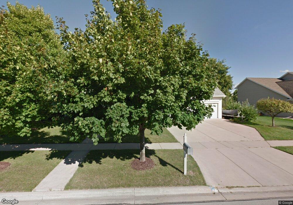
1979 Tyler Ln de Pere, WI 54115
Estimated Value: $521,000 - $665,000
4
Beds
4
Baths
2,740
Sq Ft
$214/Sq Ft
Est. Value
About This Home
This home is located at 1979 Tyler Ln, de Pere, WI 54115 and is currently estimated at $586,483, approximately $214 per square foot. 1979 Tyler Ln is a home located in Brown County with nearby schools including Dickinson Elementary School, De Pere Middle School, and Foxview Intermediate School.
Ownership History
Date
Name
Owned For
Owner Type
Purchase Details
Closed on
Apr 6, 2005
Sold by
Martin Thomas P M and Martin Ann
Bought by
Sladek David and Sladek Carolyn
Current Estimated Value
Home Financials for this Owner
Home Financials are based on the most recent Mortgage that was taken out on this home.
Original Mortgage
$150,000
Outstanding Balance
$77,054
Interest Rate
5.71%
Mortgage Type
Fannie Mae Freddie Mac
Estimated Equity
$509,429
Create a Home Valuation Report for This Property
The Home Valuation Report is an in-depth analysis detailing your home's value as well as a comparison with similar homes in the area
Home Values in the Area
Average Home Value in this Area
Purchase History
| Date | Buyer | Sale Price | Title Company |
|---|---|---|---|
| Sladek David | $290,000 | Lincoln Title Services Inc |
Source: Public Records
Mortgage History
| Date | Status | Borrower | Loan Amount |
|---|---|---|---|
| Open | Sladek David | $150,000 |
Source: Public Records
Tax History Compared to Growth
Tax History
| Year | Tax Paid | Tax Assessment Tax Assessment Total Assessment is a certain percentage of the fair market value that is determined by local assessors to be the total taxable value of land and additions on the property. | Land | Improvement |
|---|---|---|---|---|
| 2024 | $8,295 | $580,100 | $63,100 | $517,000 |
| 2023 | $7,053 | $514,400 | $63,100 | $451,300 |
| 2022 | $6,641 | $461,000 | $63,100 | $397,900 |
| 2021 | $6,300 | $413,900 | $52,600 | $361,300 |
| 2020 | $6,405 | $385,500 | $52,600 | $332,900 |
| 2019 | $6,844 | $375,300 | $52,600 | $322,700 |
| 2018 | $7,051 | $351,700 | $52,600 | $299,100 |
| 2017 | $6,490 | $316,000 | $52,600 | $263,400 |
| 2016 | $6,603 | $316,000 | $52,600 | $263,400 |
| 2015 | $6,492 | $300,800 | $59,900 | $240,900 |
| 2014 | $6,495 | $300,800 | $59,900 | $240,900 |
| 2013 | $6,495 | $300,800 | $59,900 | $240,900 |
Source: Public Records
Map
Nearby Homes
- 1960 Charles St
- 737 Desplaine Rd
- 124 Shelley Ln
- 1764 Other
- 1820 Ridgeway Dr Unit 11A
- 1820 Ridgeway Dr Unit 51A
- 1820 Ridgeway Dr Unit 11B
- 658 Black Earth Dr
- 2200 Dickinson Rd
- 1871 Ledgeview Rd
- 240 Scout Way
- 808 Voelker St
- 1861 Chicago St
- 3910 Monroe Rd
- 318 S Webster Ave
- 1403 Quinnette Ln
- 1144 Jordan Rd
- 1217 Charles St
- 436 E Briar Ln
- 544 Somerset Dr
- 1981 Tyler Ln
- 1967 Tyler Ln
- 1989 Tyler Ln
- 1954 Tyler Ln
- 1980 Tyler Ln
- 1955 Tyler Ln
- 182 Desplaine Rd Unit 184
- 120 Desplaine Rd Unit 122
- 1984 Tyler Ln
- 1995 Tyler Ln
- 144 Desplaine Rd Unit 146
- 1980 Charles St
- 170 Desplaine Rd Unit 2
- 168 Desplaine Rd Unit 1
- 1990 Charles St
- 1970 Charles St
- 1943 Tyler Ln
- 1998 Charles St
- 173 Sullivan Ln
- 187 Sullivan Ln