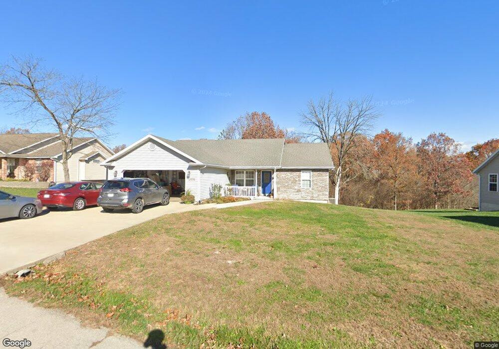
19793 Lannigan Rd Waynesville, MO 65583
Estimated Value: $309,000 - $325,000
4
Beds
3
Baths
3,000
Sq Ft
$107/Sq Ft
Est. Value
About This Home
This home is located at 19793 Lannigan Rd, Waynesville, MO 65583 and is currently estimated at $320,643, approximately $106 per square foot. 19793 Lannigan Rd is a home located in Pulaski County with nearby schools including Waynesville East Elementary School, Freedom Elementary School, and Waynesville Sixth Grade Center.
Ownership History
Date
Name
Owned For
Owner Type
Purchase Details
Closed on
Oct 21, 2005
Sold by
Alford Construction L C
Bought by
Mcentire Robert E and Mcentire Mariedel
Current Estimated Value
Home Financials for this Owner
Home Financials are based on the most recent Mortgage that was taken out on this home.
Original Mortgage
$185,402
Outstanding Balance
$98,566
Interest Rate
5.75%
Mortgage Type
VA
Estimated Equity
$222,077
Create a Home Valuation Report for This Property
The Home Valuation Report is an in-depth analysis detailing your home's value as well as a comparison with similar homes in the area
Home Values in the Area
Average Home Value in this Area
Purchase History
| Date | Buyer | Sale Price | Title Company |
|---|---|---|---|
| Mcentire Robert E | -- | Hlt |
Source: Public Records
Mortgage History
| Date | Status | Borrower | Loan Amount |
|---|---|---|---|
| Open | Mcentire Robert E | $185,402 |
Source: Public Records
Tax History Compared to Growth
Tax History
| Year | Tax Paid | Tax Assessment Tax Assessment Total Assessment is a certain percentage of the fair market value that is determined by local assessors to be the total taxable value of land and additions on the property. | Land | Improvement |
|---|---|---|---|---|
| 2024 | $1,641 | $37,727 | $4,750 | $32,977 |
| 2023 | $1,603 | $37,727 | $4,750 | $32,977 |
| 2022 | $1,479 | $37,727 | $4,750 | $32,977 |
| 2021 | $1,462 | $37,727 | $4,750 | $32,977 |
| 2020 | $1,433 | $30,738 | $0 | $0 |
| 2019 | $1,433 | $36,157 | $0 | $0 |
| 2018 | $1,432 | $36,157 | $0 | $0 |
| 2017 | $1,431 | $30,738 | $0 | $0 |
| 2016 | $1,359 | $36,160 | $0 | $0 |
| 2015 | $1,357 | $36,160 | $0 | $0 |
| 2014 | $1,357 | $36,160 | $0 | $0 |
Source: Public Records
Map
Nearby Homes
- 19958 Ladera Rd
- 21438 Lancaster Ln
- 19583 Ladera Rd
- 000 Laduff Rd
- 0 Tbd Address Unit 23071485
- 19691 Lansing Ln
- 21042 Larson Rd
- 21805 Revere Ln
- 21093 Layla Rd
- 19580 Lyle Ln
- 19182 Lonager Ln
- 20172 London Ln
- 48 LOT Breckenridge Dr
- 0 Bailey St
- 0 Foster St
- 508 Shoshone Dr
- 176 Teton Pass
- 208 Teton Pass
- 18229 Loyalty Ln
- 231 Zeigenbein Rd
- 19821 Lannigan Rd
- 19723 Lannigan Rd
- 19845 Lannigan Rd
- 21078 Lacombe Rd
- 19908 Ladera Rd
- 19477 Laveille Rd
- 19883 Lannigan Rd
- 19866 Ladera Rd
- 19691 Lannigan Rd
- 19852 Lannigan Rd
- 19730 Lannigan Rd
- 19688 Lannigan Rd
- 19882 Lannigan Rd
- 21021 Lacombe Rd
- 19774 Ladera Rd
- 19668 Lannigan Rd
- 19452 Laveille Rd
- 196684 Lannigan
- 19767 Loyd Ln
- 19757 Ladera Rd