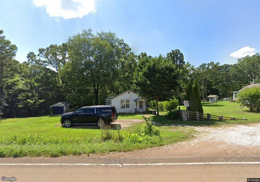
19795 Highway 17 Waynesville, MO 65583
Estimated Value: $133,000 - $246,000
2
Beds
1
Bath
1,100
Sq Ft
$167/Sq Ft
Est. Value
About This Home
This home is located at 19795 Highway 17, Waynesville, MO 65583 and is currently estimated at $183,384, approximately $166 per square foot. 19795 Highway 17 is a home located in Pulaski County with nearby schools including Crocker Elementary School and Crocker High School.
Ownership History
Date
Name
Owned For
Owner Type
Purchase Details
Closed on
Apr 11, 2019
Sold by
Wiliamson Michael D and Williamson Diane M
Bought by
Trader Linda
Current Estimated Value
Purchase Details
Closed on
Jul 6, 2006
Sold by
Maize Herman Charles and Maize Sharon L
Bought by
Williamson Michael D and Williamson Diane M
Create a Home Valuation Report for This Property
The Home Valuation Report is an in-depth analysis detailing your home's value as well as a comparison with similar homes in the area
Home Values in the Area
Average Home Value in this Area
Purchase History
| Date | Buyer | Sale Price | Title Company |
|---|---|---|---|
| Trader Linda | -- | -- | |
| Williamson Michael D | -- | None Available |
Source: Public Records
Tax History Compared to Growth
Tax History
| Year | Tax Paid | Tax Assessment Tax Assessment Total Assessment is a certain percentage of the fair market value that is determined by local assessors to be the total taxable value of land and additions on the property. | Land | Improvement |
|---|---|---|---|---|
| 2024 | $290 | $6,932 | $3,002 | $3,930 |
| 2023 | $285 | $6,932 | $3,002 | $3,930 |
| 2022 | $285 | $6,932 | $3,002 | $3,930 |
| 2021 | $285 | $6,932 | $3,002 | $3,930 |
| 2020 | $279 | $7,520 | $0 | $0 |
| 2019 | $279 | $6,745 | $0 | $0 |
| 2018 | $279 | $6,745 | $0 | $0 |
| 2017 | $279 | $7,463 | $0 | $0 |
| 2016 | $278 | $6,740 | $0 | $0 |
| 2015 | -- | $6,740 | $0 | $0 |
| 2014 | $276 | $6,740 | $0 | $0 |
Source: Public Records
Map
Nearby Homes
- 19825 Missouri 17
- 19875 Missouri 17
- 20415 Highway 17
- 19280 Missouri 17
- 22197 Reliable Rd
- TBD 13B Highway 17
- 22130 Rhyme Ln
- 22295 Rhyme Ln
- TBD Highway 17 Tract 11
- TBD Highway 17 Tract 19
- TBD
- 19580 Lyle Ln
- 17305 Riverside Rd
- 20172 London Ln
- 20465 Leisure Ln
- 508 Shoshone Dr
- 19182 Lonager Ln
- 000 Laduff Rd
- 19252 Lambert Ln
- 208 Teton Pass
- 19716 N Highway 17
- 19780 Highway 17
- 19621 Highway 17
- 19874 Missouri 17
- 19870 Missouri 17
- 22201 River Dr
- 19874 Highway 17
- 19930 Highway 17
- 16000 Highway 17 Ln
- 19526 Highway 17
- 19415 Highway 17
- 22675 River Dr
- 22652 River Dr
- 20002 Buffer Ln
- 19716 Highway 17
- 20138 Highway 17
- 20020 Buffer Ln
- 19474 Highway 17
- 22602 River Dr